
Trail, western loop, Bälingeberget
- Hiking
- Near parking
- Near toilet
- County: Norrbottens län
- 6643.20 km away from you
Trail details
- Length 2.8 km
Actions
Description
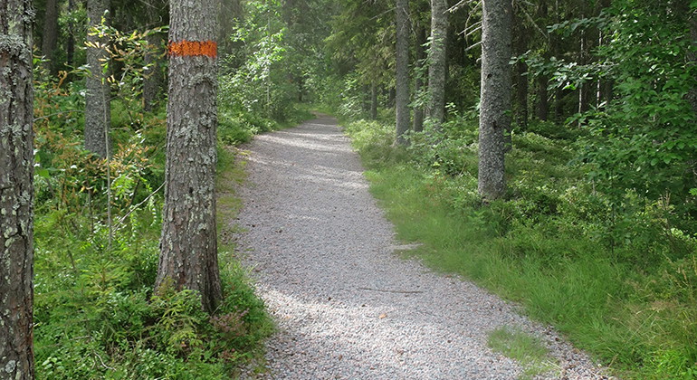
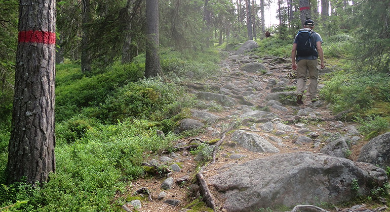
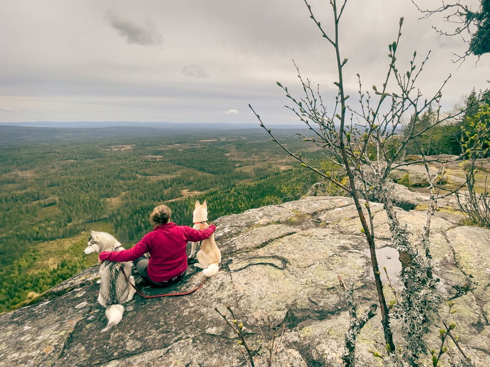
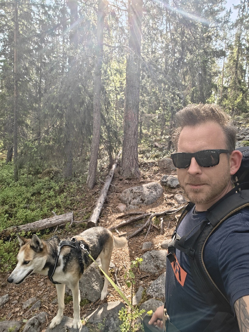
This trail goes in a loop in the western part of the nature reserve. It starts and ends at the parking lot. There are connections to the eastern trail and the trail to the cave. You pass by the fireplaces at the top of the mountain.
Activities And Facilities
- Hiking
Accessibility
- Near parking
- Near toilet
Surface
Gravel, then forest path with stones.
Contact
Email address
Länsstyrelsen Norrbotten
Organization logotype

I’ve been here 14


I want to go here 13

Questions & Answers
Ask a question to other Naturkartan users.
Reviews
2 reviews
- 5 :
- 4 :
- 3 :
- 2 :
- 1 :
Users images
No user images yet. Be the first to share!

Fina eld platser, fanns torr ved, svårt att se märkning på träden dock, men med naturkartan gick det lätt.