
-
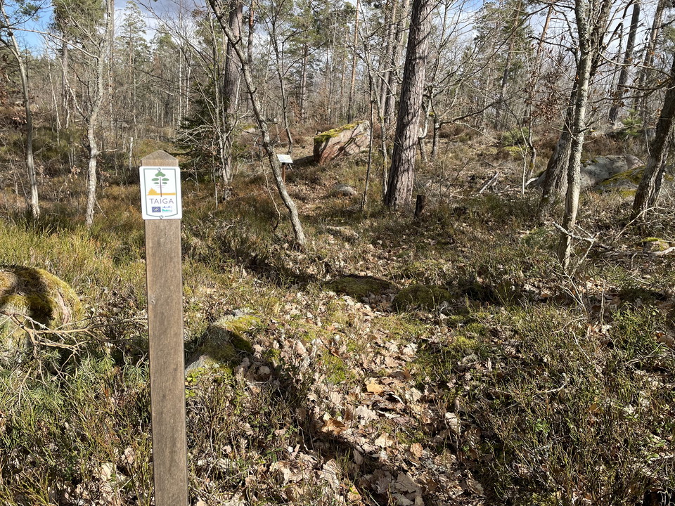
Foto: Anna Lindberg -
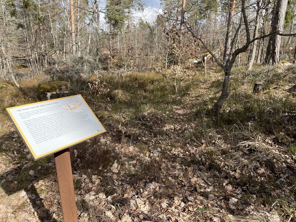
Foto: Anna Lindberg
Taigastigen, Allgunnen
- Circular trail
- Hiking
- County: Kalmar län och Öland
- 6869.24 km away from you
Trail details
- Length 0.8 km
Actions
Description
This shorter circular trail goes through an area that has been burned by nature conservation and an area that has been burned by forest fire. Along the trail there are information signs that tell about different fire-affected environments and special tracks in the terrain. The route is marked with taiga symbols.
Activities And Facilities
- Hiking
- Circular trail
Contact
Email address
Per Markus Jönsson
Organization logotype

Please be aware that some of these texts have been automatically translated.
I’ve been here 1

I want to go here 2
Questions & Answers
Ask a question to other Naturkartan users.
Reviews
1 review
- 5 :
- 4 :
- 3 :
- 2 :
- 1 :
Users images
No user images yet. Be the first to share!

fin led, trevlig med sjön och bron över ån. Intressant med naturbränning. Ta en fika på Aboda klint vid hemvägen! Rekommenderas!