
-
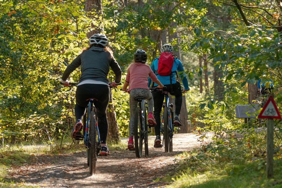
Photo: Pixabay
Bergbanan 6,8 km
- Hiking
- Mountainbiking
- Circular trail
- County: Jämtlands län
- 6496.00 km away from you
Trail details
- Length 6.9 km
Actions
Description
Labeling: red and white
Ascent: 135 altitude meters
Execute: 130 altitude meters
From Bölegården, the trail goes uphill along the village road and passes the viewpoint where Klövsjö and Vemdalsfjällen are panned with a mile-wide view. The tour continues along the village road for about 700 meters to turn off up to higher heights. Along old paths through different types of forest, the journey goes towards the highest point of the course 525 meters above sea level. From there the trail descends towards Knötavägen. With a detour from the trail of 300 meters, you come to Bölestjärnen and the rest area Kaffekoppen. The trail goes along a gravel road back to Bölegården.
Activities And Facilities
- Mountainbiking
- Hiking
- Circular trail
Please be aware that some of these texts have been automatically translated.
I’ve been here
I want to go here
Questions & Answers
Ask a question to other Naturkartan users.
Reviews
0 reviews
- 5 :
- 4 :
- 3 :
- 2 :
- 1 :
Users images
No user images yet. Be the first to share!
