
-
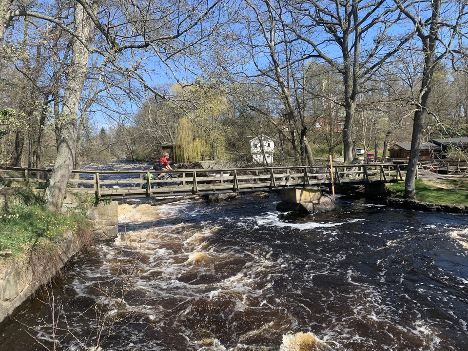
Photo: Evertrek
Cykelled Mörrum - Karlshamn
- Biking
- County: Blekinge län
- 6845.71 km away from you
Trail details
- Length 13.0 km
Actions
Description
The trail links the salmon paradise along the Mörrumsån river and Blekinge’s forest with Karlshamn and the islands out to sea. There is accommodation in Mörrum and you can walk along the banks of the fast-flowing river and go fishing, while, besides all the activities you would expect in a town, Karlshamn offers ferries into the archipelago and trails heading further out to explore the islands by bike, by kayak, by boat and on foot. Just as once Karlshamn was a gateway out to the world for people emigrating from Sweden, today it is a gateway out into the Blekinge Archipelago.
The trail is unmarked so it is best followed in the app or on a map available from the companies in the app or the tourist offices in Karlshamn, Ronneby and Karlskrona.
Activities And Facilities
- Biking
Surface
Pedestrian and bicycle path, country road.
Downloads
Contact
Address
Blekinge Arkipelag Kurpromenaden 4 372 36 Ronneby
Email address
Team ARK56
Organization logotype
Please be aware that some of these texts have been automatically translated.
I’ve been here 1

I want to go here 10
Questions & Answers
Ask a question to other Naturkartan users.
Reviews
0 reviews
- 5 :
- 4 :
- 3 :
- 2 :
- 1 :
Users images
No user images yet. Be the first to share!
