
Bottenstugan - Lysevatten, Bohusleden Etapp 9
- Hiking
- County: Västra Götalands län
- 6601.19 km away from you
Trail details
- Length 12.1 km
- Time 7 h
- Difficulty Blue - medium
Actions
Description
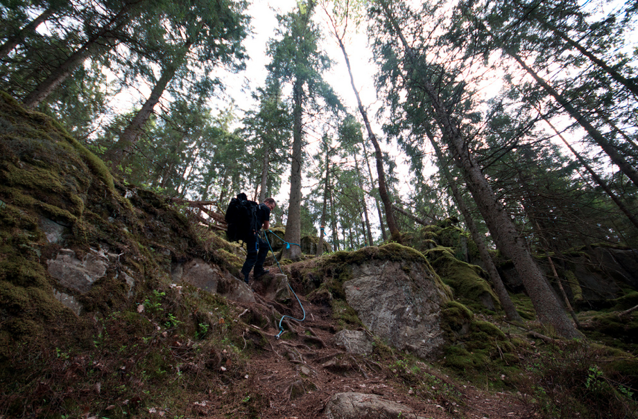
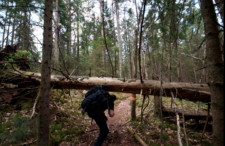
Moderately hilly hike, through Svartedalen for a total of 11.5 kilometers in Kungälv. The area is known for sport fishing, mushroom and berry picking and orienteering.
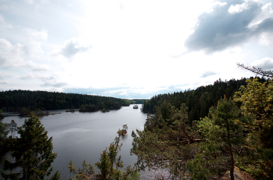
On the way: Starting in Bottenstugan (several trails start here), the hike continues into the Svartedalen wilderness and nature reserve. During the hike, Härsvatten offers viewpoints. At the end of the stage is Gårdsjön (tip to walk around and observe the environmental research on acidification that takes place in the area).
Photo: Staffan Edvardsson (CCBY2.0)
Bohusleden consists of 27 stages that offer a total of about 35 miles of varied hiking through Bohuslän's beautiful nature. The trail stretches from Älvsåker in the south, on the border with Halland, to Strömstad in the north.
Activities And Facilities
- Hiking
Please be aware that some of these texts have been automatically translated.
I’ve been here 31



I want to go here 51




Questions & Answers
Ask a question to other Naturkartan users.
Reviews
1 review
- 5 :
- 4 :
- 3 :
- 2 :
- 1 :
Users images
No user images yet. Be the first to share!

är det brant mellan bottenstuga till St Iglekärr?