
-
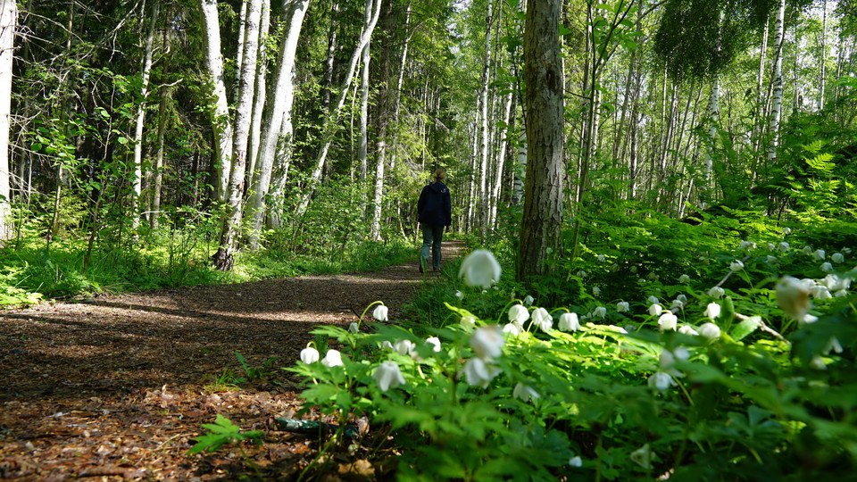
Promenadslinga
Photo: Johanna Öhrling Länsstyrelsen Västernorrland
Friluftsliv på recept - Sticksjön blå
- Hiking
- County: Västernorrlands län
- 6627.74 km away from you
Trail details
- Length 1.9 km
Actions
Description
Start by walking around the lake clockwise. Just after the bridge in the northeast corner of the lake, the footpath splits and you can leave the round the lake and turn left instead. You then come up to the parking lot at the end of Luleåvägen, turn right and then right again after about 100 meters onto a path. The path runs along the edge of a field and then into the forest again. Stay on the wide path and do not turn off on any of the smaller paths and you will soon reach a paved walkway. Here you turn right to get back to the parking lot at the school and sports hall.
Activities And Facilities
- Hiking
Please be aware that some of these texts have been automatically translated.
I’ve been here
I want to go here
Questions & Answers
Ask a question to other Naturkartan users.
Reviews
0 reviews
- 5 :
- 4 :
- 3 :
- 2 :
- 1 :
Users images
No user images yet. Be the first to share!
