
-

Photo: Håkan Hjort -

Photo: Ivar Palo/Länsstyrelsen
Adolfström-County boundary, The King's Trail
- Hiking
- County: Västerbottens län
- 6391.70 km away from you
Trail details
- Length 32.0 km
Actions
Description
Activities And Facilities
- Hiking
Surface
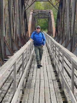
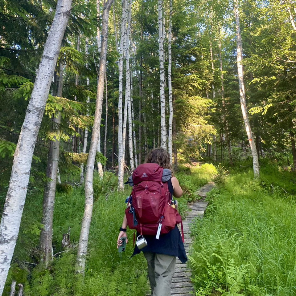
Mostly easily hiked trail. An appreciable number of plankways along the stretch.
Communications
You get to Adolfström by car or bus. There can be daily bus connections between Arjeplog and Adolfström during the season, visit Länstrafiken Norrbottens' website for more information. There is a car park at the harbour in Adolfström.
Länstrafiken Norrbotten website
Boat transport: Niklas Söderberg, +46 (0)70-674 42 17, +46 (0)961-230 18
Contact
Email address
Länsstyrelsen Norrbotten
Organization logotype

I’ve been here 12





I want to go here 33


Questions & Answers
Ask a question to other Naturkartan users.
Reviews
0 reviews
- 5 :
- 4 :
- 3 :
- 2 :
- 1 :
Users images
No user images yet. Be the first to share!
