
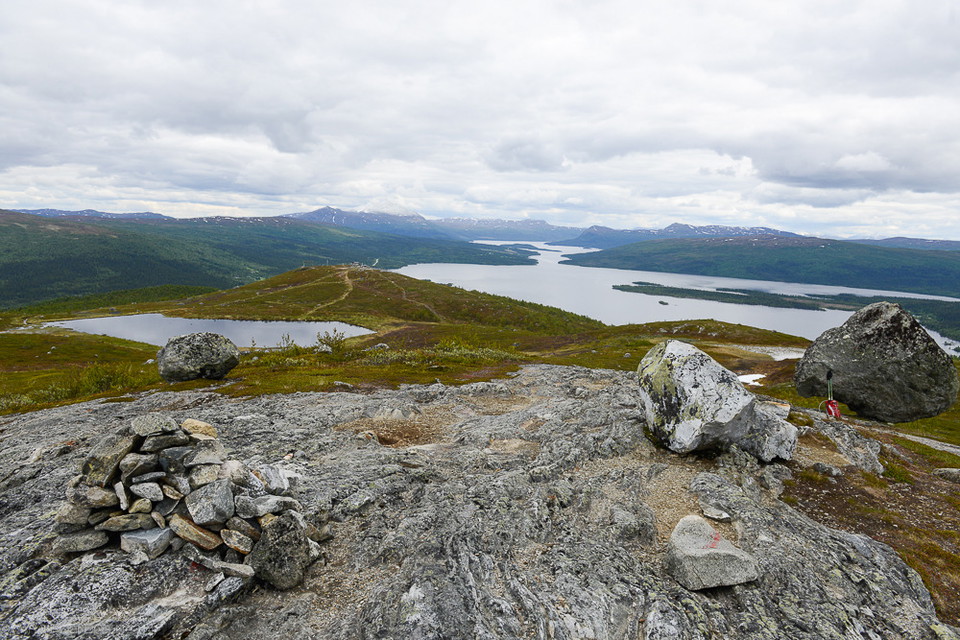
Laxfjället från Kanahobbsvägen
- Hiking
- County: Västerbottens län
- 6372.38 km away from you
Trail details
- Length 1.4 km
Actions
Description
Activities And Facilities
- Hiking
Facts
Three options to get up
- Laxfjället from Tärnaby Fjällby. From the valley station of the cable car, a path leads up to the top of the cable car. The path is steep in places. Length: 4 km round trip. Height difference 370 m. Time: 2-3 hours.
- Laxfjället from Tärnaby Fjällhotell. The trail starts at the hotel and from Ingemarbacken's parking lot and continues via Ringbranten up to the top of the cable car. Length: 4 km round trip. Height difference: 370 m Time: 3-4 hours.
- Laxfjället from Fjällvägen. Follow the road past the campsite at Tärnaån to the parking lot at the end of the road, 4 kilometers. From the parking lot there are two options; either the short and relatively steep path up to Kanahobben and the top of Anjaliften, or the slightly flatter but also wetter path over the marshes (starts right next to the notice board). Length: 2 km round trip. Height difference: 150 m to the top. Time: 1-2 hours.
Parking
There is a large parking lot at the end of Fjällvägen. The trail starts directly adjacent to the parking lot.
Directions
Follow the road (Fjällvägen) past Tärnaby camping to the parking lot at the end of the road, four kilometers.
Contact
Address
+46 (0)954-140 33
Email address
Turistinformation Hemavan Tärnaby
Please be aware that some of these texts have been automatically translated.
I’ve been here 35






I want to go here 20


Reviews
—
0 reviews
- 5 :
- 4 :
- 3 :
- 2 :
- 1 :
Questions & Answers
Ask a question to other Naturkartan users.
Users images
Share your photos of the place!
