
-
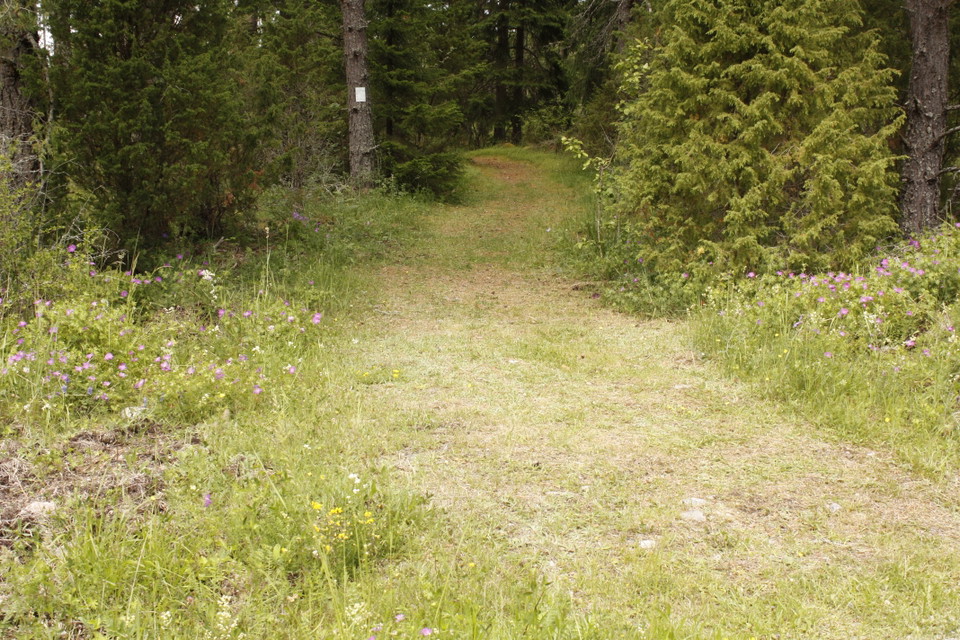
Photo: Emelie Runfeldt -
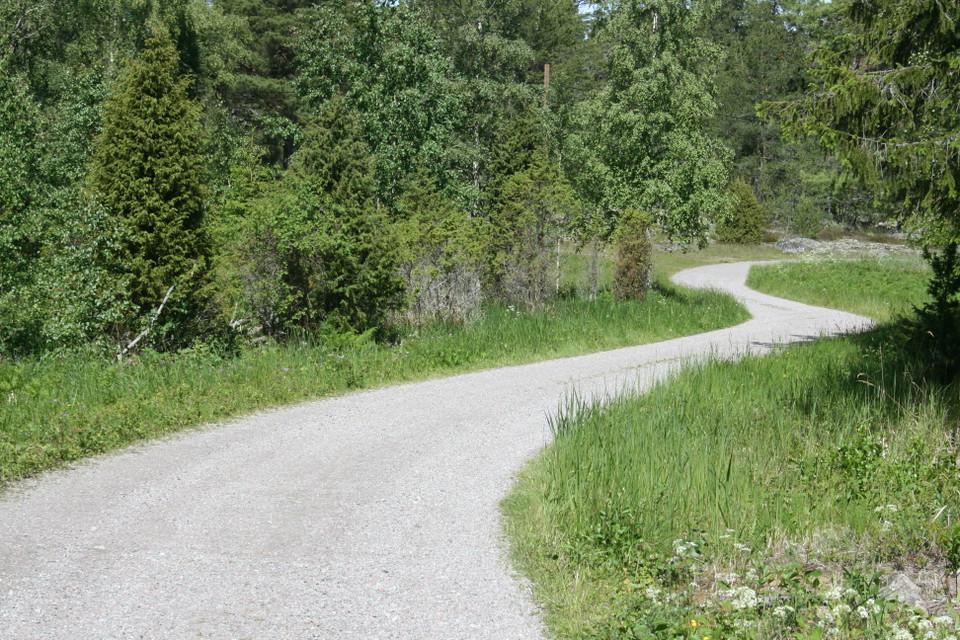
Photo: Karolina Vessby -
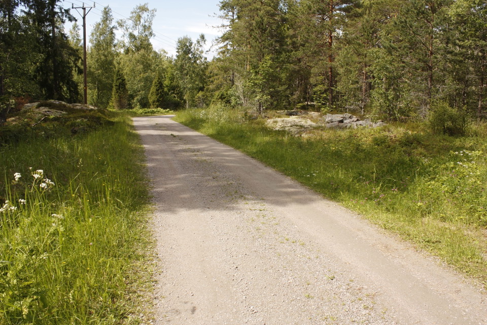
Photo: Emelie Runfeldt
Stigar, Rossholm, 1–1,5 km
- Hiking
- Near parking
- County: Uppsala län
- 6756.37 km away from you
Trail details
- Length 3.0 km
Actions
Description
All trails start from the parking lot at the military tower. The path to Kranselberget and Rossholmsberget follows the gravel road through the village to the sea. You can catch a glimpse of the sea at the end of the road, and you can get there with a stroller. Otherwise, the paths in the area are simple forest paths where larger shoes are recommended. Both at Kranselberget, in the west, and at Rossholmsberget, in the east, the path ends outside the cliffs with views of the open sea. Both viewpoints are about 1 km from the parking lot.
Activities And Facilities
- Hiking
Accessibility
- Near parking
Contact
Email address
Upplandsstiftelsen
Organization logotype

Please be aware that some of these texts have been automatically translated.
I’ve been here 1

I want to go here 3

Questions & Answers
Ask a question to other Naturkartan users.
Reviews
0 reviews
- 5 :
- 4 :
- 3 :
- 2 :
- 1 :
Users images
No user images yet. Be the first to share!
