
-
-
-
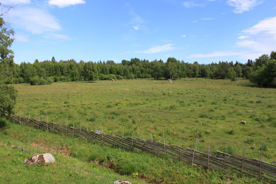
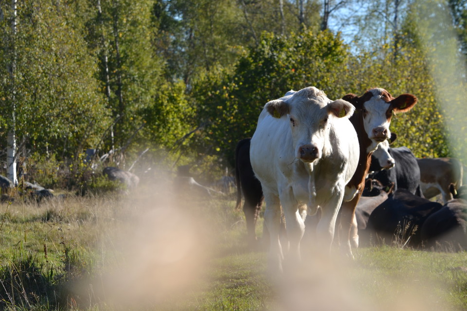
Gärdesgård och hagmark -
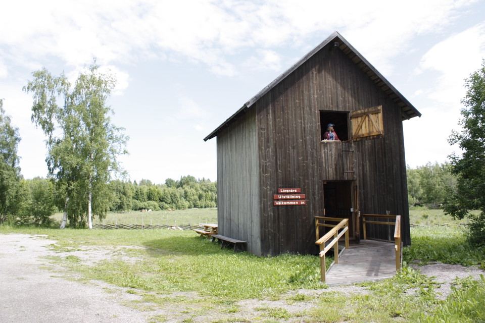
Informationsladan -
-
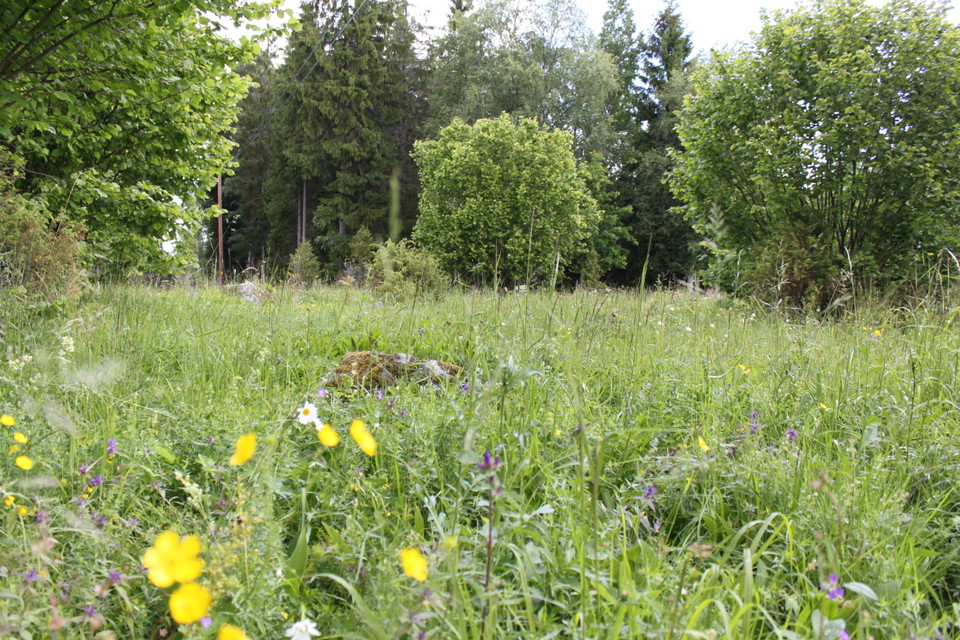
Slåtteräng
Lingnåre
- Cultural park
- Culture
- Valuable nature
- Near parking
- Near Public Transport
- Near toilet
- County: Uppsala län
Actions
Description
Lingnåre on the Hållnäs Peninsula is one of Uppland's two cultural reserves. People have lived and farmed here since the Viking Age. At that time the area was by a bay, but today it is a short distance to the water. The pastures and forest still bear traces of ancient farmers.
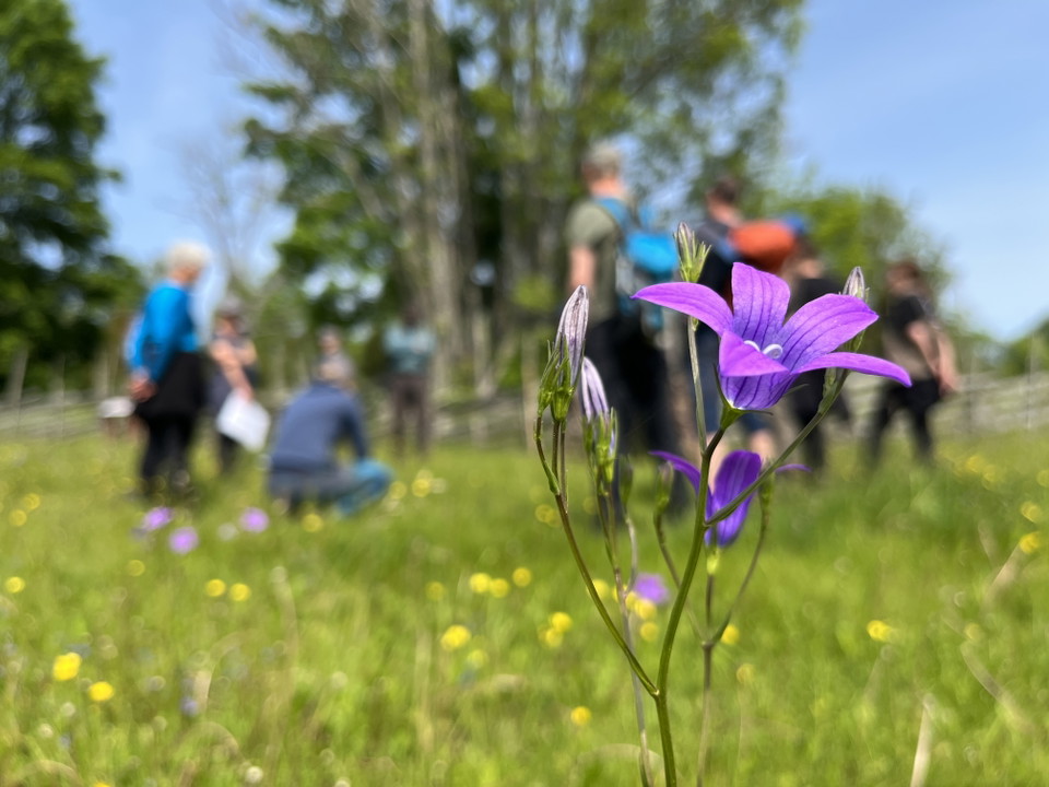
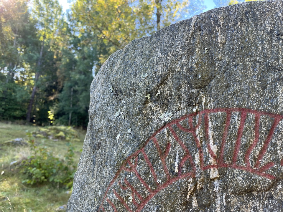
Walk the Viking Trail into history, past burial mounds, cairns and a rune stone. The Viking Trail is 0.7 km long and runs through pastures with grazing animals. Bring a packed lunch and set up a picnic among lilies of the valley, cowslips and strawberries. There are a couple of benches along the path. On the east side of the road is the Medieval Trail. It is slightly longer than the Viking Trail and leads to a medieval village. Near the parking lot there is also a hay meadow where you can enjoy the flowers and butterflies of high summer.
Be sure to visit the barn by the parking lot. There is an exhibition about the landscape and history of Lingnåres.
Services: Parking, barn with exhibition about the area. The barn has a ramp that makes it possible to enter with a wheelchair on the ground floor. Disabled-accessible dry toilet at the parking lot.
Activities And Facilities
- Cultural park
- Culture
- Valuable nature
Accessibility
- Near parking
- Near Public Transport
- Near toilet
Facts
Trustees: Upplandsstiftelsen and the County Administrative Board's cultural environment unit
Communications
You can take the bus to the Sikhjälma vägskäl stop. From the stop, follow the road north towards the cultural reserve, about 300 meters. Timetables can be found at www.ul.se
Directions
Lingnåre is located 2.5 km west of Hållnäs church.
By car: Take road 76 to Skärplinge where you turn off towards Hållnäs. Continue for about 8 km, towards Hållnäs church, until you reach a crossroads. Turn right and then immediately left where there is a sign for the cultural reserve. The parking lot is on the right side.
Contact
Email address
Upplandsstiftelsen
Organization logotype

Please be aware that some of these texts have been automatically translated.
I’ve been here 1

I want to go here 2

Questions & Answers
Ask a question to other Naturkartan users.
Reviews
2 reviews
- 5 :
- 4 :
- 3 :
- 2 :
- 1 :
"På östra sidan av vägen går Vikingastigen. Den är något längre än Vikingastigen och leder bort till en medeltida by." Ni menar nog att den längre stigen är Medeltidsstigen?
Users images
No user images yet. Be the first to share!

Det stämmer, tack för observationen! Det är redigerat nu.