
-
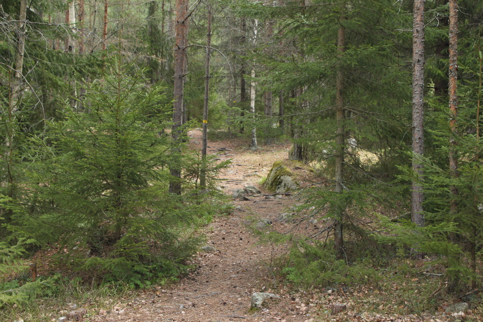
Strövarleden -
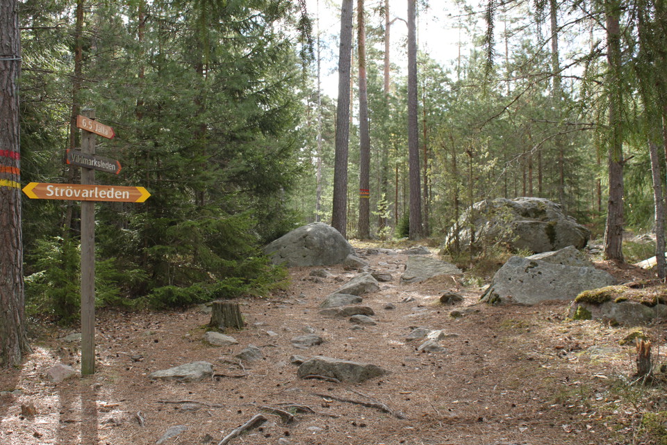
Vägvisare för olika vandringsleder i Storskogen
Strövarleden, Storskogen
- Hiking
- County: Uppsala län
- 6784.34 km away from you
Trail details
- Length 2.5 km
Actions
Description
The Strövar trail is 2.5 km and marked with yellow color. Sturdy hiking boots are recommended when hiking through Storskogen's boulder-rich and somewhat difficult terrain. However, Strövarleden is slightly easier to walk than the other trails in Storskogen.
Activities And Facilities
- Hiking
Facts
Responsible for maintenance: Uppsala municipality
Surface
Forest path, rocky terrain.
Contact
Email address
Länsstyrelsen i Uppsala län
Please be aware that some of these texts have been automatically translated.
I’ve been here 10


I want to go here 11

Questions & Answers
Ask a question to other Naturkartan users.
Reviews
0 reviews
- 5 :
- 4 :
- 3 :
- 2 :
- 1 :
Users images
No user images yet. Be the first to share!
