
Katrinelund - Hampetorp
- Paddling
- County: Örebro län
- 6719.73 km away from you
Trail details
- Length 17.6 km
Actions
Description
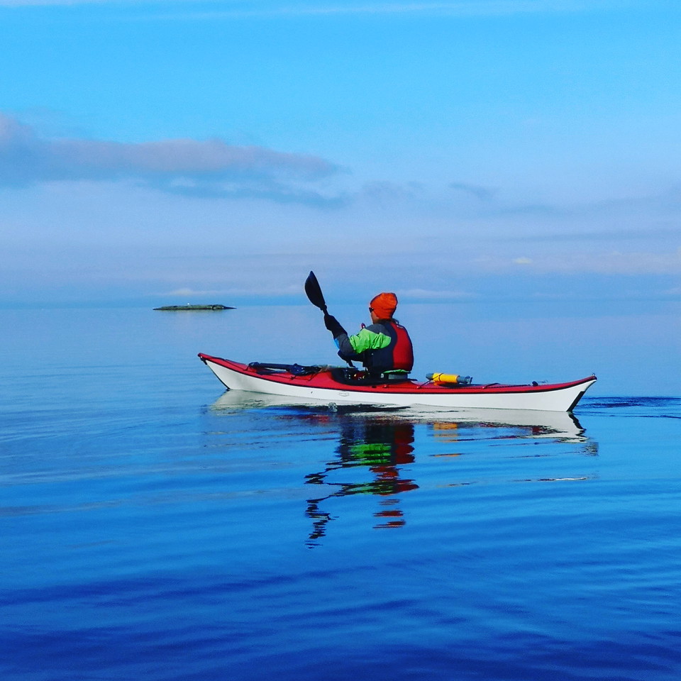
Time required: 5 hours one way. Difficulty: 2, medium, involves paddling on open water. Paddling along the shore is recommended. At the starting point in Katrinelund there is parking, a bathing area and restaurant as well as kayak rental. Parking is available at the bathing area. If you follow the southern edge of Flatviken from Katrinelund, you will pass several built-up areas and you can wind your way between the islands. As you round Biskopsvrak, the paddling becomes more exposed to easterly and northerly winds. After Biskopsvrak, if you paddle inside Mesaren, you can again wind your way between small islands and rocks. There are several islands here that offer good places to have a snack. Before you arrive at the ferry terminal in Hampetorp, you can stop at the campsite in Hampetorp and end the trip with an ice cream and a swim at the bathing area. The nature on the route is characterized by rocky beaches and deciduous forest. In the inner bays, the beaches are covered in reeds. There are good chances of seeing many different bird species, including sea eagles and ospreys.
Activities And Facilities
- Paddling
Contact
Address
Kontakta oss om du har frågor om Örebros friluftsliv. Tel: 019-211000
Email address
Servicecenter
Organization logotype

Please be aware that some of these texts have been automatically translated.
I’ve been here
I want to go here
Questions & Answers
Ask a question to other Naturkartan users.
Reviews
0 reviews
- 5 :
- 4 :
- 3 :
- 2 :
- 1 :
Users images
No user images yet. Be the first to share!
