

Ånnabodas rundslingor
- Hiking
- Wheelchair accessible
- Stroller accessible
- Near Public Transport
- County: Örebro län
- 6681.50 km away from you
Trail details
- Length 11.4 km
Actions
Description
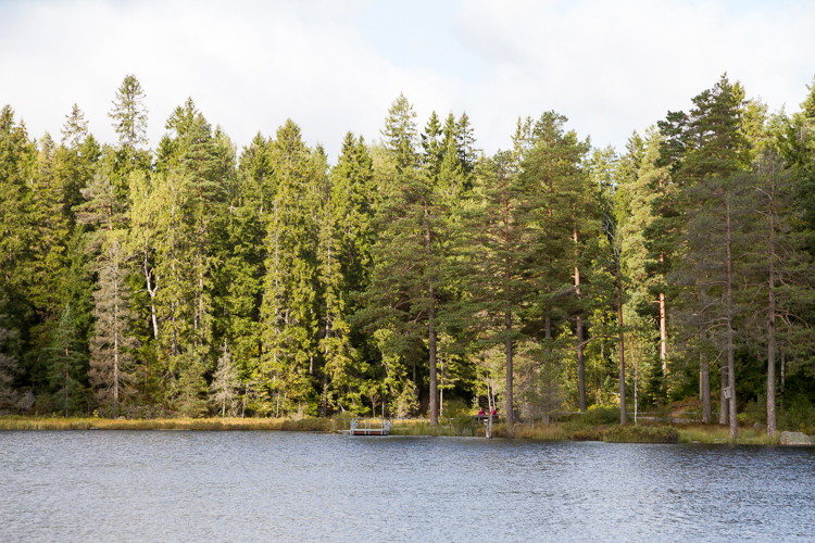
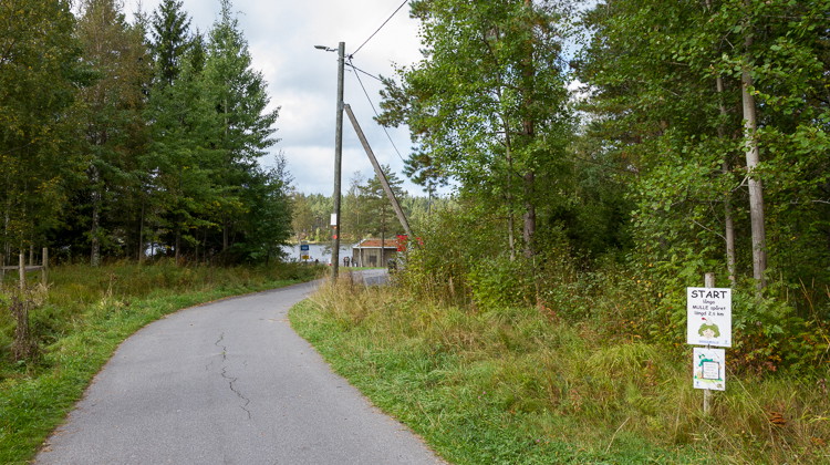
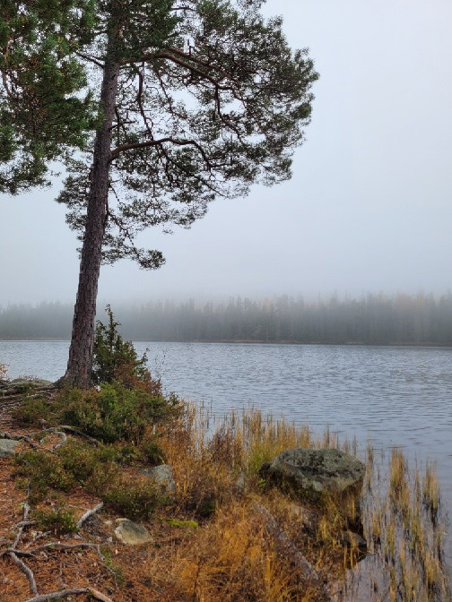
The route around the lake is 2.5 km and paved, so it is good for strollers and wheelchairs. Steep slope in some places, so you may need assistance to get around with a wheelchair. The longer circular loops are 5 and 8 km respectively and with forest terrain.
In winter, skiers and hikers share the loop around the lake. Please show consideration for each other's activities.
Activities And Facilities
- Hiking
Accessibility
- Wheelchair accessible
- Stroller accessible
- Near Public Transport
Contact
Address
Kontakta oss om du har frågor om Örebros friluftsliv. Tel: 019-211000
Email address
Servicecenter
Organization logotype

Please be aware that some of these texts have been automatically translated.
I’ve been here 48









I want to go here 63










Questions & Answers
Ask a question to other Naturkartan users.
Reviews
1 review
- 5 :
- 4 :
- 3 :
- 2 :
- 1 :
Users images
No user images yet. Be the first to share!

gött...