
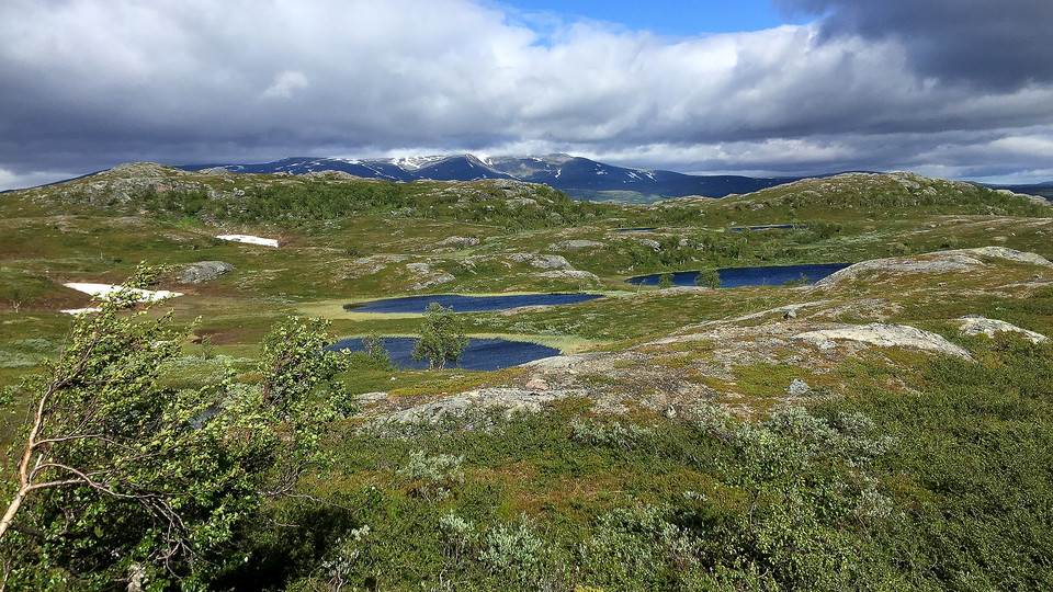
Vandringsled BD83 feån Silvervägen via Guijaure till Vuoggatjålme
- Hiking
- County: Norrbottens län
- 6346.02 km away from you
Trail details
- Length 52.0 km
Actions
Description
Activities And Facilities
- Hiking
Facts
Lomtjärn-Guijaure-Vuoggatjålme, Arjeplogfjällens bästa tredagarstur?
Bloggen Gå på tur, av Nenne Åman
Utflyktsguide Själbmátjåhkkå, Arjeplogs kommun (2020)
Utflyktsguide Gujjávrtjårro, Arjeplogs kommun (2020)
(Swedish)
Surface
Varied surface. Varies from easily–hiked mountain moor and treeless flat rocks to wet areas and dense osier vegetation. The trail is not always visible. Restoration of the trail is planned in 2022–2024.
Communications
Guoledisjávrre nature rest area lies at road 95, Silvervägen, 30 kilometres north-west of Vuoggatjålme. A bus runs from Arjeplog to Sandviken (bus stop on road 95) at Sandvikens Fjällgård. From the bus stop to the starting point at the nature rest area at Lake Guoledisjávrre the distance is c. 17 kilometres.
Since the start at Guoledisjávrre and the finish at Vuoggatjålme lie c. 30 km from each other, two cars are required, or a ride between start and finish. Alternatively, you can make your hike a circuit by continuing to follow the marked trail on from Vuoggatjålme, via Seldutvágge Valley back to the car park at Guoledis. The hike is then c. 90 kilometres.
Länstrafiken Norrbotten website
Arjeplog Taxi, +46 (0)960-303 50, bokning@arjeplogtaxi.se
Arjeplog Lapland website
Contact
Email address
Länsstyrelsen Norrbotten
Organization logotype
I’ve been here 10


I want to go here 28


Reviews
—
0 reviews
- 5 :
- 4 :
- 3 :
- 2 :
- 1 :
Questions & Answers
Ask a question to other Naturkartan users.
Users images
Share your photos of the place!
