Ensta krog motionsspår 10 000 m
- Municipality: Täby
- 6828.65 km away from you
- 10.1 km
Följ grön skyltning.

Täby
Naturkartan samlar de vandringslederna i Täby som är populärast bland våra användare.
Följ grön skyltning.
Follow the yellow signs.
Följ röd skyltning.
The exercise trail starts at Skavlötens friluftsgård and has green signage
Följ gul skyltning.
Följ grön skyltning.
Follow the yellow signs.
Follow the blue signs.
Follow the red signs.
Follow the blue signs.
Follow the blue signs.
A short, but pleasant and somewhat tough walk through the colony area at the station, through the forest to Rönninge village and back. What makes the route a little difficult are the two slopes that are available.
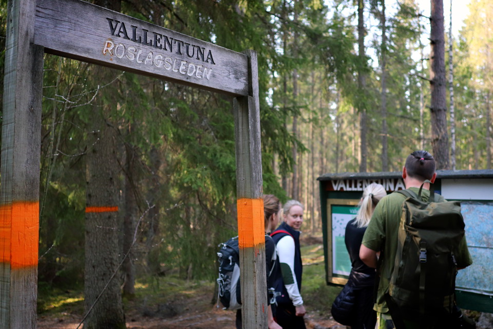
The second stage of the Roslagsleden trail begins in gently rolling terrain and continues on well-trodden paths in fine rocky areas. Mushroom-rich forests are peppered with remains from the First World War. The stage begins next to Karby gård, Täby cultura…
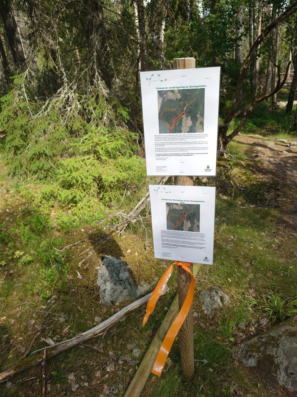
The section from the municipal border between Täby and Vallentuna in Fågelsången towards Stora Ladängen on stage 2 of the Roslagsleden trail has been temporarily rerouted. This is due to spruce bark beetle infestation and the risk of dead trees falling over…
Naturkartan samlar de vandringslederna i Täby som är populärast bland våra användare.