Hälsans stig - Salem Rönninge
- Municipality: Salem
- 6829.31 km away from you
- 6.8 km
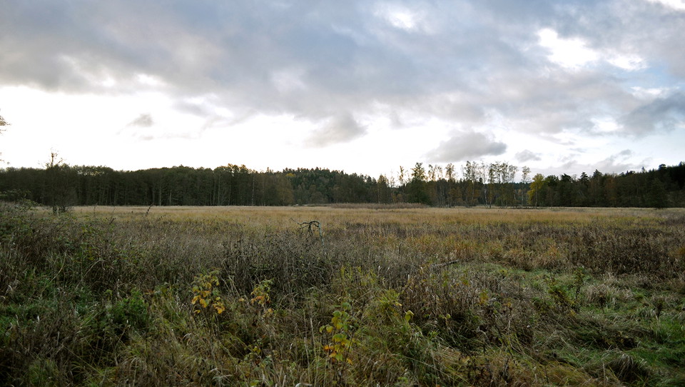
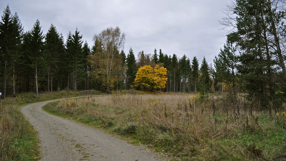
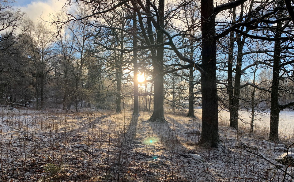
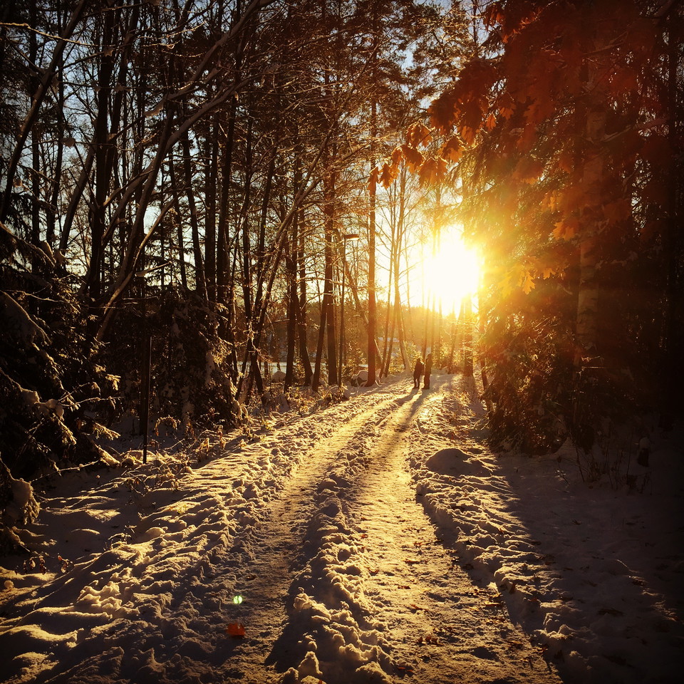
It is a walk in a varied environment of 7 km. The easiest starting point is at Rönninge station where there is both bus and commuter train station and parking lot.

Salem
Naturkartan samlar de vandringslederna i Salem som är populärast bland våra användare.
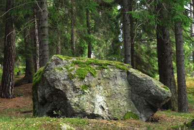
It is a walk in a varied environment of 7 km. The easiest starting point is at Rönninge station where there is both bus and commuter train station and parking lot.
A beautiful trail that takes you through fields and pastures within the central parts of the nature reserve. There's a good chance that you'll spot swans, deer and many songbirds along your walk here. This nature reserve is managed by Stockholm Vatten och…
Take an easy walk along this gravel road, which leads you by pastures lined by oak and rowan trees. Along the trail, you'll pass a number of horse paddocks. Informational signs describe the history of the old cottages in the area.
The Bornsjön nature trail is a 4.5 km long trail that takes you through the hilly forests and open fields that surround Sturehov Manor. The trail begins by the East Bergaholm entrance, with the trailhead located at the quarry just behind the parking lot. Du…
Naturkartan samlar de vandringslederna i Salem som är populärast bland våra användare.