Hälsans stig - Mariestad
- Municipality: Mariestad
- 6659.92 km away from you
- 5.0 km
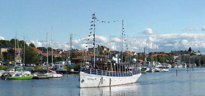
Stigen går längs Vänerns stränder och vid Karlsholme folkpark till Sjöhagaparken och Milstensparken

Mariestad
Naturkartan samlar de vandringslederna i Mariestad som är populärast bland våra användare.
Stigen går längs Vänerns stränder och vid Karlsholme folkpark till Sjöhagaparken och Milstensparken
The eastern trail goes through the heart of the island, down to Djuröstugan. One kilometer away, approximately. Halfway to the cottage is the so-called Ängen, which is an open glade of former farmland. At Djuröstugan the trail turns off to both east and wes…
Just under 4 km one way. Moderate level of difficulty.
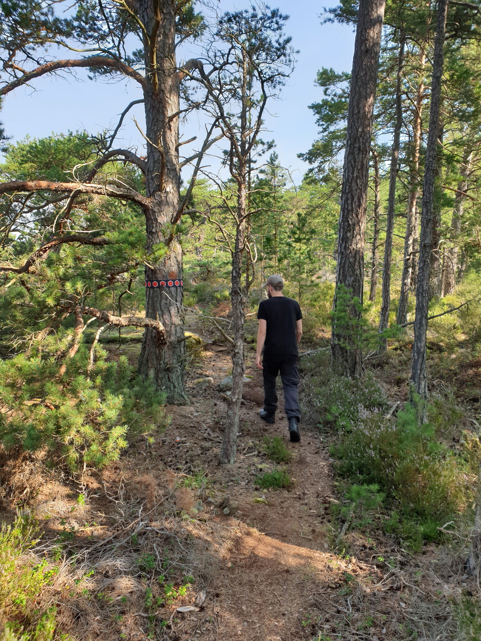
The trail goes through the heart of the island, down to Djuröstugan. One kilometer away, approximately. Halfway to the cottage is the so-called Ängen, which is an open glade of former farmland. At Djuröstugan the trail turns both east and west. The western…
Section 8 offers a varied walk through a rolling cultural landscape, lush forests and historically interesting environments. The route is slightly hilly and easy to walk, making it suitable for most people. The walk starts at Lugnås church and follows an as…
Section 9 begins in the picturesque village of Karleby, a place rich in history, and continues toward Mariestad. The trail follows gravel and paved roads through open landscapes, forested areas, and small settlements. Through the forest you soon reach the s…
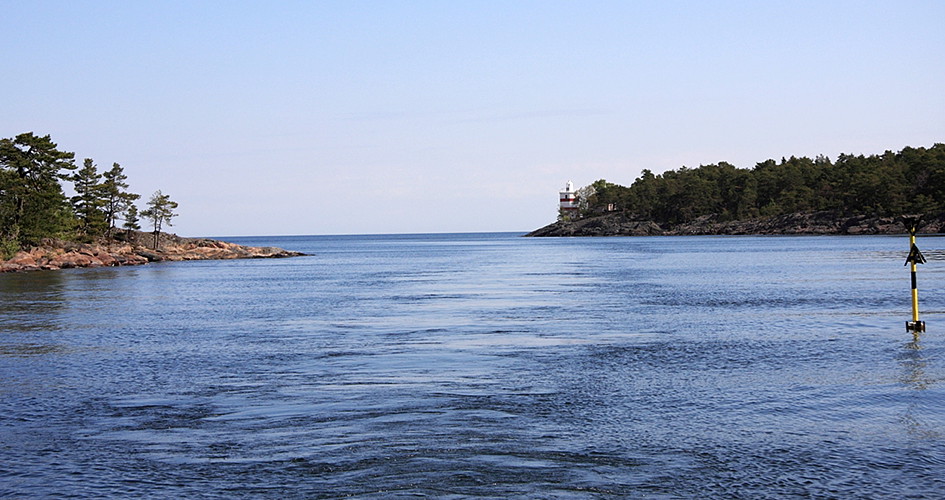
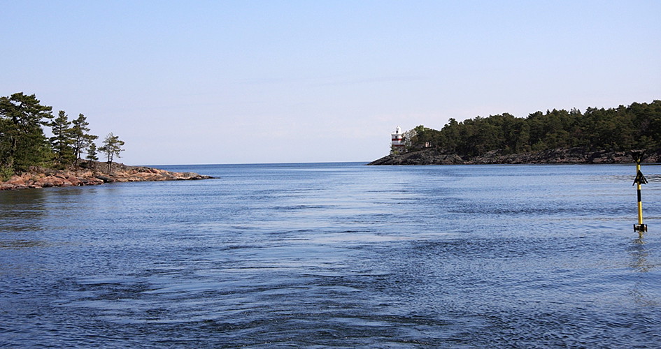
The northern trail takes you to Noludden. There, after about a kilometer of hiking, you will meet Djurö lighthouse.
Naturkartan samlar de vandringslederna i Mariestad som är populärast bland våra användare.