
Karlstad
Best hiking trails in Karlstad
Naturkartan samlar de vandringslederna i Karlstad som är populärast bland våra användare.
Map
13 Best hiking trails in Karlstad

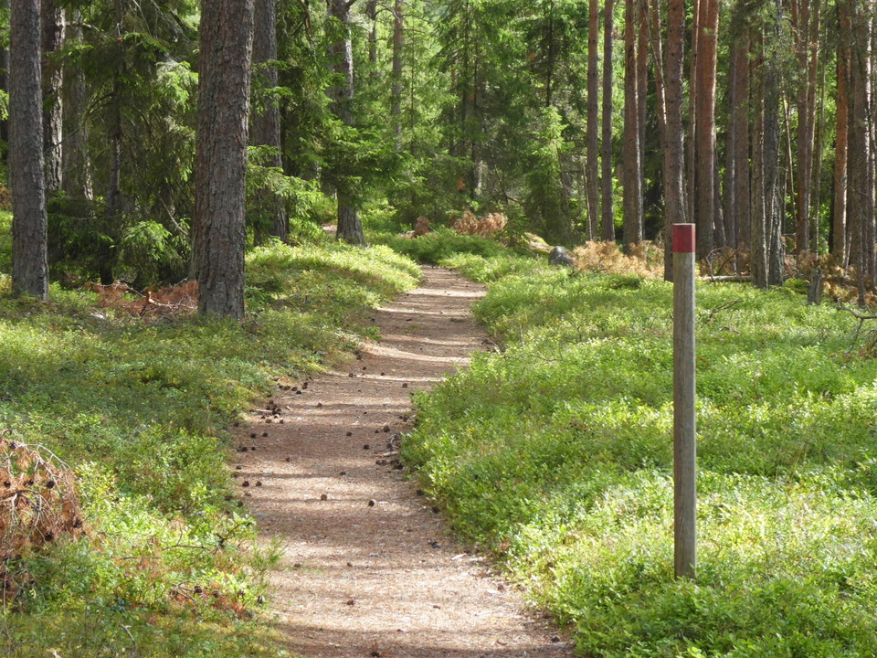
Led Hamnvägen
- Municipality: Karlstad
- 6603.43 km away from you
- 0.5 km
- Difficulty: Green
Connecting trail Arnäs Udde - Blå slingan. Easy to walk but not wheelchair accessible. Clearly marked path
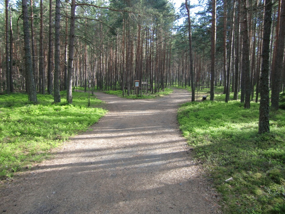
Röd slinga Rullstolsanpassad led Arnäs udde
- Municipality: Karlstad
- 6603.02 km away from you
- 2.3 km
- Difficulty: Green
Gravel hiking trail that is easy to walk and accessible for wheelchairs and prams. However, there are hilly sections that require strong arms or helpers to get around with rolling aids. The distance from the main parking lot to Arnäs udde is about 1.3 km. P…
Led Råglandaberget
- Municipality: Karlstad
- 6605.37 km away from you
- 0.4 km
- Difficulty: Red
At the top of Råglandaberget the mountain slopes steeply, some parts can be very slippery. Enjoy the view but do not go too close to the edge. Parents keep an eye on the children! Warning-Brant. Visits to the summit are at your own risk.
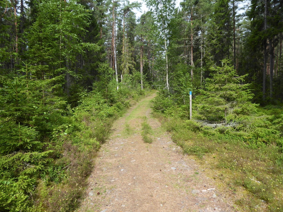
Blå slinga Tysta stigen
- Municipality: Karlstad
- 6603.02 km away from you
- 2.6 km
- Difficulty: Blue
The hiking trail runs partly on forest roads and partly on forest paths and footbridges. In places it is winding and hilly. The eastern part is not accessible by wheelchair or stroller. Poles with blue painted top
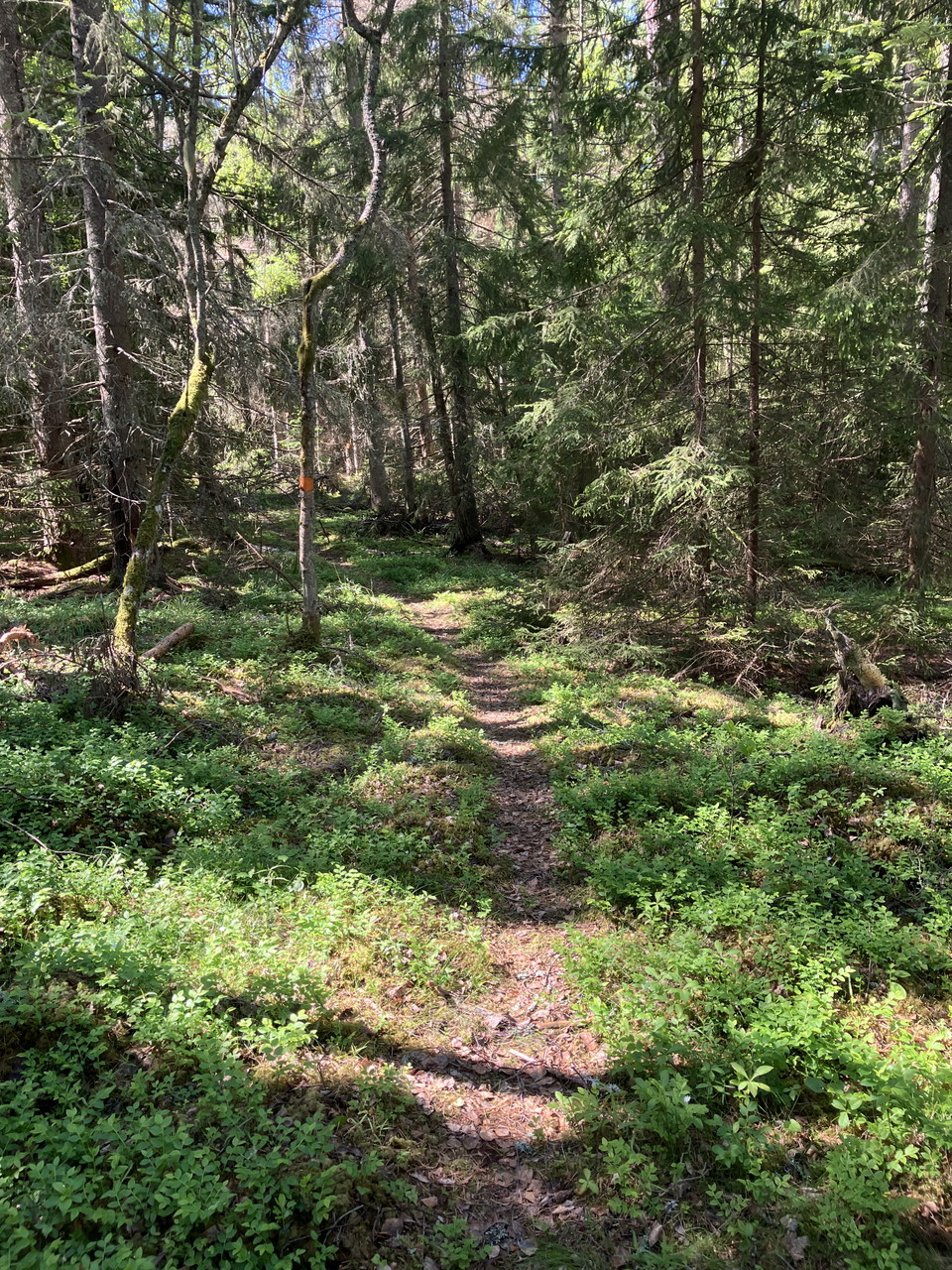
Led Kärrholmen
- Municipality: Karlstad
- 6620.02 km away from you
- 2.1 km
- Difficulty: Blue
The trail runs mainly through forest. In the center you pass a small rest house with outbuildings. To the east and west you pass rocks and moorings. Orange markings on trees
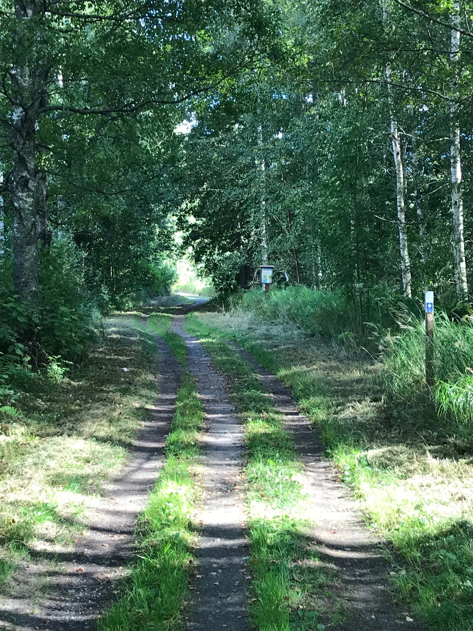
Led Kaplansholmen
- Municipality: Karlstad
- 6612.23 km away from you
- 0.7 km
Easy to walk, graveled bike path through the Örsholm side of the reserve.
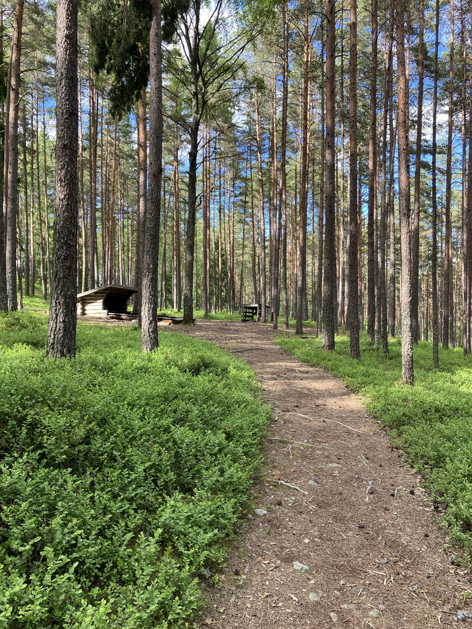
Led Högemon
- Municipality: Karlstad
- 6598.61 km away from you
- 3.2 km
The trails run through hilly woodland and are connected to Skutbergsleden, as well as the trail to Kil. Horseback riding is not allowed. Orange
Led Lämpenshålan
- Municipality: Karlstad
- 6624.01 km away from you
- 2.1 km
- Difficulty: Blue
Easy trail in sparse and open low pine forest. Some steep slopes where the trail goes through large dead ice pits. Orange color
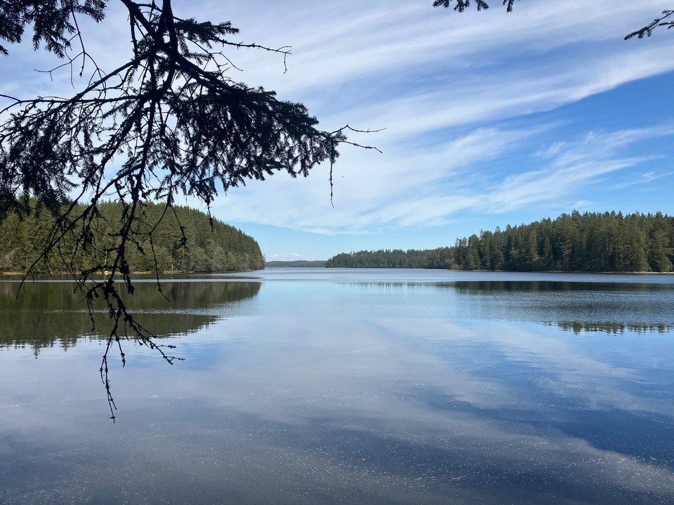
Västerrudsleden
- Municipality: Karlstad
- 6609.66 km away from you
- 15.9 km
- Difficulty: Blue
Hiking trail between Ångsågen and Malmtorget that runs long distances along the shores of Alstern and through areas of old forest. 3.5 km of the trail runs along public roads. Northwest of Alstern, the trail passes parts of the large dune field area. Some p…
Mangenbadsleden
- Municipality: Karlstad
- 6615.68 km away from you
- 5.2 km
- Difficulty: Blue
Trail that connects Mangenbaden with Brattforsleden at Ångsågen. The trail is quite varied and has several nice sections, for example along Lake Mangen, past the cultural reserve on Hällebergshöjden and at Klingertjärn. Orange markings on posts and trees
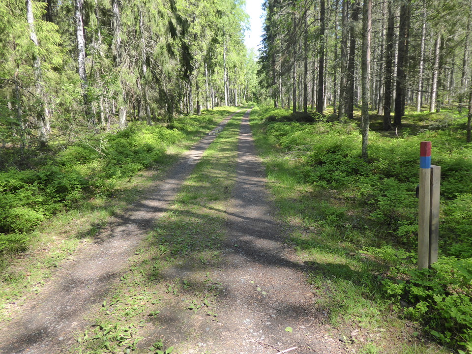
Led mot Onsösundet
- Municipality: Karlstad
- 6603.02 km away from you
- 1.8 km
- Difficulty: Green
The hiking trail is an old road that branches out towards the northern and southern Onsösundet. It is easy to walk but not wheelchair accessible. The distance from the main parking lot to Onsösundet is about 1.3 km. Poles with orange top
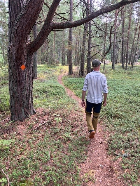
Led Östra Timmerön
- Municipality: Karlstad
- 6626.19 km away from you
- 1.6 km
- Difficulty: Blue
The hiking trail on Östra Timmerön goes through varied archipelago nature. There are fine views of Lake Vänern in a couple of places. In places there are rocky pine forests and in places lush areas with deciduous trees. Some parts can be difficult to access…
Best hiking trails in Karlstad
Naturkartan samlar de vandringslederna i Karlstad som är populärast bland våra användare.
