Hemfosa - Tornberget, Sörmlandsleden, etapp 5:3
- Municipality: Haninge
- 6845.00 km away from you
- 14.5 km

Haninge
Naturkartan samlar de vandringslederna i Haninge som är populärast bland våra användare.
The electric light trail has lighting. There is an outdoor gym at the north-western end of the trail.
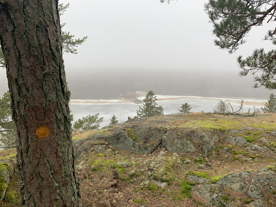
The AMU loop is marked with yellow trail markers.
Kolarslingan är märkt med svart/vita ledbrickor.
Harspåret är en kulturstig för både barn och vuxna. Den går i kuperad terräng, delvis på mindre stigar och är därför tyvärr inte tillgänglig med barnvagn eller rullstol. Harspåret startar vid spårcentralen vid Rudans gård. Vi rekommenderar att man går medso…
Maxingeslingan is an accessible exercise trail that runs around Nedre Rudasjön. The loop has a hard surface without roots and obstacles, which makes it accessible for wheelchairs, permobiles and strollers. There are some steep slopes, which means that it ca…
The trellis loop is marked with green trail markers.
Sörmlandsleden stage 4: Tyresta village - Handen: From Tyresta village, stage 4 continues in the nature reserve, and closer to Handen in green paths next to the settlement.
Explore the reserve from this easy 6 km hiking trail loop that starts at Sundby gård farm. You'll walk along gravel roads and paths through an ancient agricultural landscape that has been cultivated since the 15th century. Parts of the trail take you throug…
Hiking trail between Rudans gård and the small lake Trylen. The trail is marked with orange-colored triangles that start from the track center south of the large barn at Rudan's farm. At Trylen there is a barbecue area with a windbreak.
Following nature conservation work on the Höggarn peninsula, trail markers are missing along some sections of this route. However, finding your way is easy! Feel free to wander freely, or use the digital map here in Naturkartan to help you navigate. Stroll…
This hiking trail takes you around the Gullringskärret nature reserve and the wetland at its core. The trail is marked in orange. Walking the entire trail takes about 1-2 hours. Be sure to wear some stable and waterproof footwear and follow the trail along…
The trail takes you to the lesser known parts of the nature reserve. Start from the self-closing gate below the long side of the parking lot. Follow the orange trail markings. The path leads through deciduous and pine forest, partly on the old country road,…
The trail around Killingen can be described as a lot of nature in a short distance. The varied path takes you across the flat beach meadows, then winds up on pine-clad rocks and down along the shores of Killingen. As the light changes from early morning to…
A trail for adventure and variety! The trail begins and ends at the bottom of the meadows, where you can enjoy the birdlife and see signs of grazing and old farming. Soon enough, the trail climbs upwards, with a real wilderness feel, following the steep edg…
Naturkartan samlar de vandringslederna i Haninge som är populärast bland våra användare.