
Galgbergslingan
- Running
- Walking
- Hiking
- County: Hallands län
- 6716.80 km away from you
Trail details
- Length 3.0 km
Actions
Description
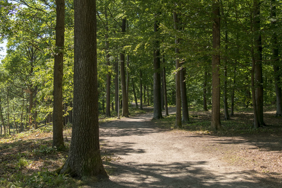
A green oasis with a rich history, just a stone's throw from the city center. Discover the beautiful beech and mixed forest with beautiful views, winding trails, cozy picnic areas and exciting history. It's no wonder that Galgberget has become a favorite of many.
Activities And Facilities
- Walking
- Running
- Hiking
Contact
Email address
Halmstad direkt
Organization logotype

Please be aware that some of these texts have been automatically translated.
I’ve been here 9



I want to go here 1
Questions & Answers
Ask a question to other Naturkartan users.
Reviews
1 review
- 5 :
- 4 :
- 3 :
- 2 :
- 1 :
Users images
No user images yet. Be the first to share!


Clean and well maintained. Toilets are available, short and longer walks. Good markings but they can be a bit confusing, check the information board in the car park behind the lookout tower, where the toilets are also located. Some trails are a hilly environment, but there is something for everyone. If you just want to have a cup of coffee and eat your packed lunch, there is a place with benches and tables overlooking the city with the sea as a background, very beautiful. I recommend this for both old and young, there is a large playground for the children. Free parking is easy to find, 3 hour limit.