Information

Västmanlands län

Images

Map

301 Information

Information

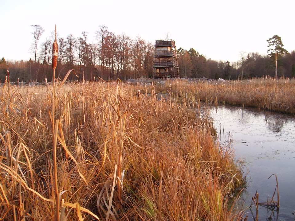
Fågeltorn, Askö

  • Municipality: Västerås
  • 6748.34 km away from you

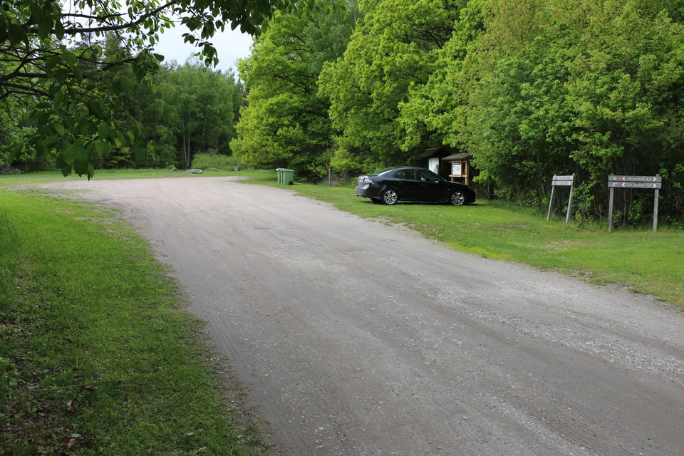
The bird tower is four storeys high. A ramp leads to the first floor. One side fence on the first floor has plexiglass. There are stairs between the other floors. There are information boards on the different floors of the bird tower. There are picnic table…
Information

Informationstavla, Kråksten

  • Municipality: Fagersta
  • 6695.91 km away from you

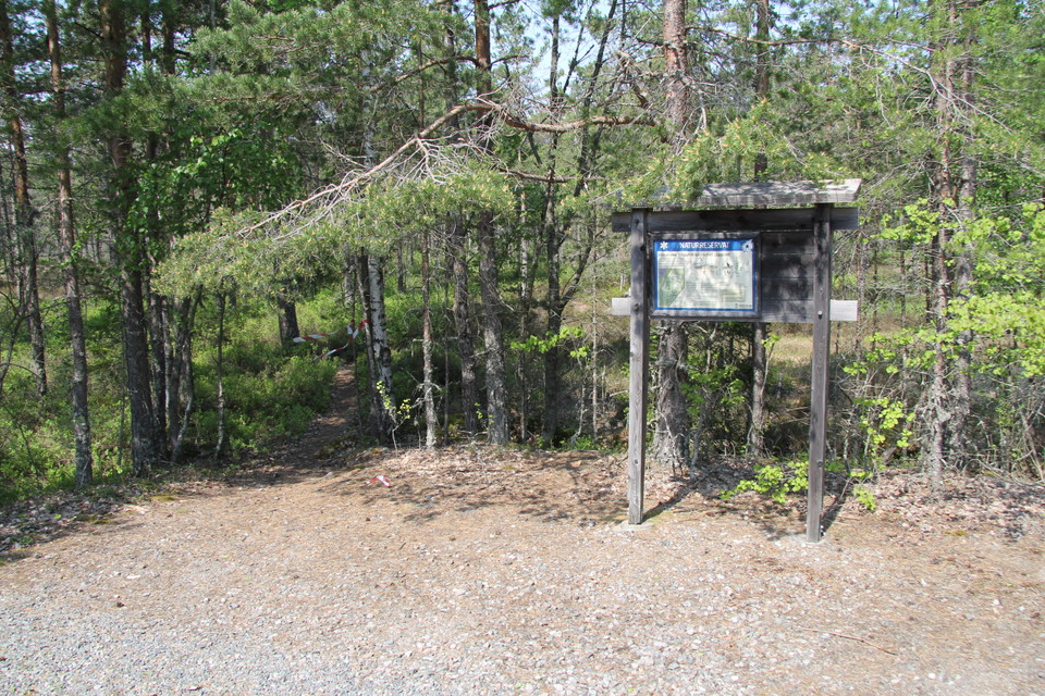
About 20 meters behind the information board you will find Brudslöjan, the county's highest waterfall. The nature reserve does not have a marked parking lot, but you can park a couple of cars on the other side of Ängelsbergsvägen, opposite the nature reserve.

Information

Fotopunkt Grävlingsberget

  • Municipality: Sala
  • 6711.13 km away from you

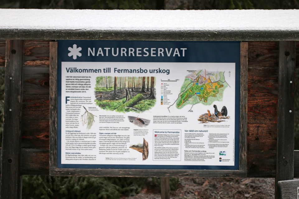
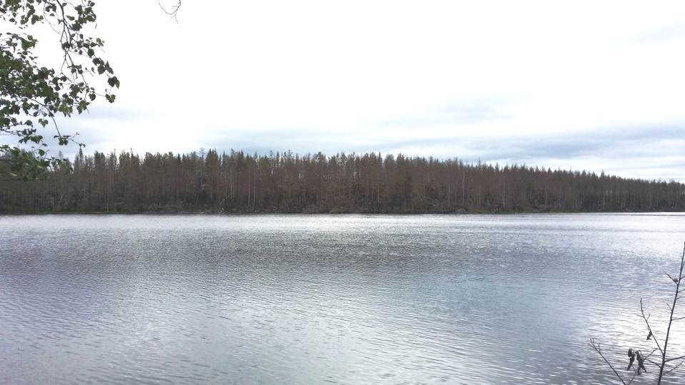
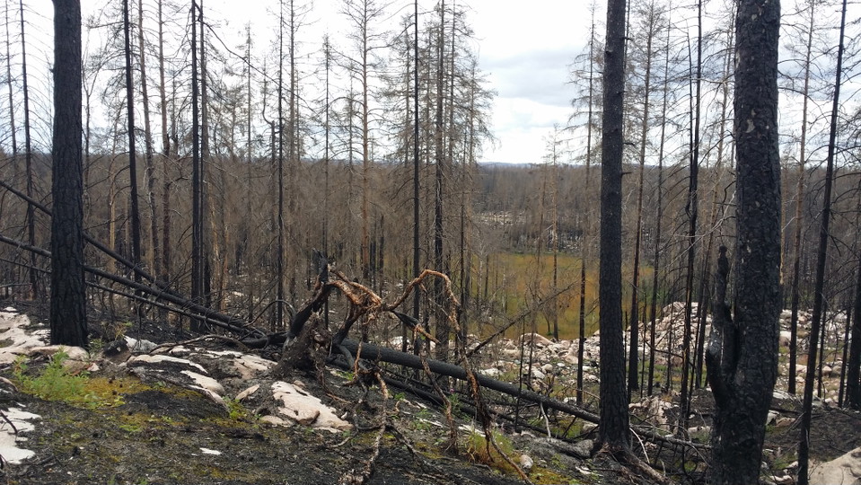
This is where the great forest fire raged in 2014. By taking and sharing your photos on social media, you can help us document how nature is recovering. Here's what you can do:

Information

Fotopunkt Björktjärnen

  • Municipality: Sala
  • 6710.93 km away from you

Här härjade den stora skogsbranden år 2014. Genom att fotografera och dela med dig av dina bilder i sociala medier hjälper du oss att dokumentera hur naturen återhämtar sig. Gör så här:

Naturkartan

Open this in the app