Norrbottens län

Firesite

Map

147 Firesite

Rest area

Hapsajaure - Rallarstigen

  • Municipality: Gällivare
  • 6493.73 km away from you

34 km from starting point/13 km from starting point E45 It is a wonderful feeling to arrive at Hapsajaure and the rest area located there. The water opens up and there are tables, benches, a fireplace and a shelter. You can also reach this rest area by walk…

Shelter

Rastplats mellan Hapsajaure och Porjus

  • Municipality: Gällivare
  • 6492.66 km away from you

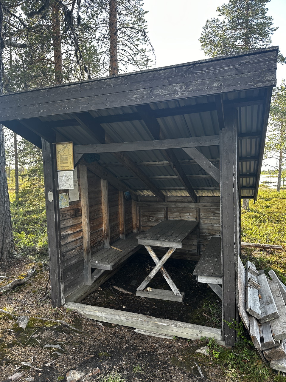
37 km from starting point, 16 km from starting point E45 Shelter, large fireplace and table with benches.

Cabin

Dalstugan - Dundret

  • Municipality: Gällivare
  • 6510.06 km away from you

The cabin was built in the 1930s by the Girl Scout Corps in Gällivare. In this cozy cottage at the tree line, Friluftsfrämjandet offers coffee most Sundays during the winter months. There is a barbecue area and toilet/outhouse.

Firesite

Rastplats Lompolojänkkä T4

  • Municipality: Övertorneå
  • 6688.60 km away from you

Welcome to the Lompolojänkkä rest area, equipped with a shelter and barbecue area. Bring your own firewood, burn responsibly and clean up after yourself, so that the next visitor will also have a pleasant experience.

Rest area

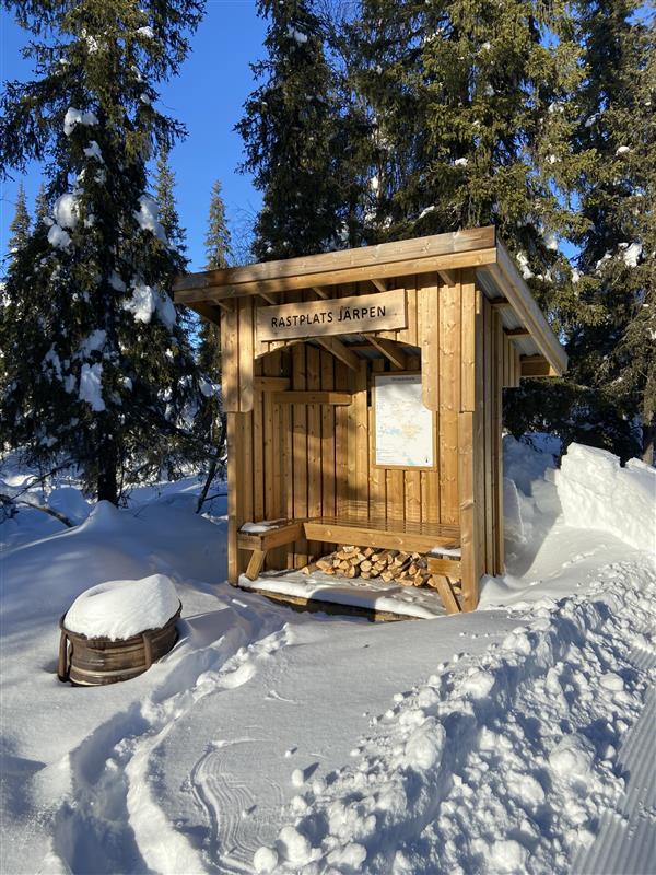
Rastplats Järpen

  • Municipality: Gällivare
  • 6509.00 km away from you

Wind shelter near the municipal roundabout with bench and possibility to make a fire. Views of Dundret and the forest on the southern slope.

Rest area

Rastplats Tippen

  • Municipality: Gällivare
  • 6511.66 km away from you

Rest area adjacent to ski trails and walking and cycling paths. There is a shelter with a bench facing south and the possibility to make a fire.

Naturkartan

Open this in the app