
-
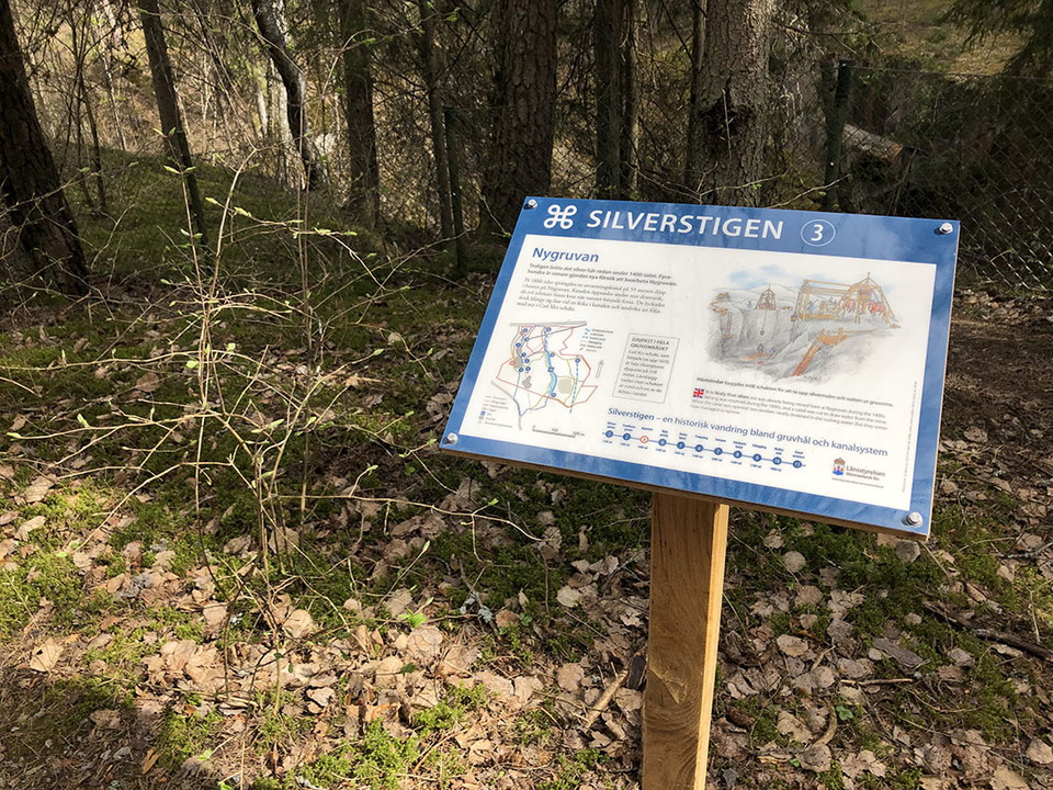
Photo: Ulrika Mogren
Informationstavla, Silverstigen
- Information
- County: Västmanlands län
- 6731.85 km away from you
Actions
Description
Information board number 3 telling about Nygruvan
Silver was probably mined here as early as the 15th century. Four hundred years later, new attempts were made to work the Nygruvan mine. In the 1880s, a dewatering channel was blasted at a depth of 55 meters at the bottom of Nygruvan. The channel was opened with great drama, as two workers were left behind when the water began to flow. However, they managed to cling to a pocket in the canal and avoid being swept down Carl XI's shaft.
Activities And Facilities
- Information
Contact
Address
Kontakta mig om du har frågor om Naturkartan Västmanland.
Email address
Daniel Anundi
Organization logotype
Please be aware that some of these texts have been automatically translated.
I’ve been here
I want to go here 1

Questions & Answers
Ask a question to other Naturkartan users.
Reviews
0 reviews
- 5 :
- 4 :
- 3 :
- 2 :
- 1 :
Users images
No user images yet. Be the first to share!
