
Etapp 6, Skuleberget - Entré Syd Skuleskogens nationalpark, Höga Kusten-leden
- Hiking
- County: Västernorrlands län
- 6640.28 km away from you
Trail details
- Length 10.86 km
- Difficulty Red - demanding
Actions
Description
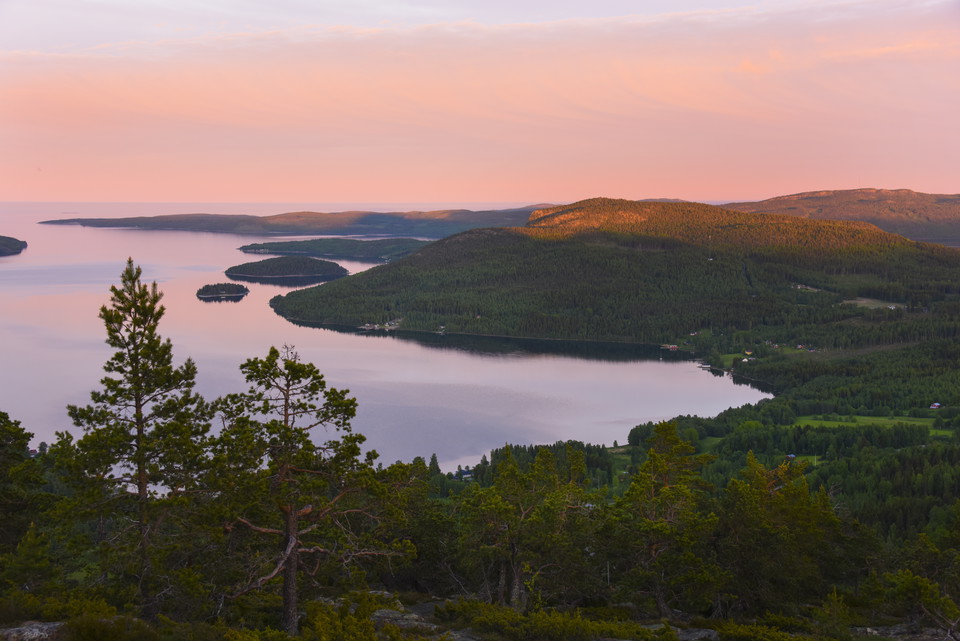
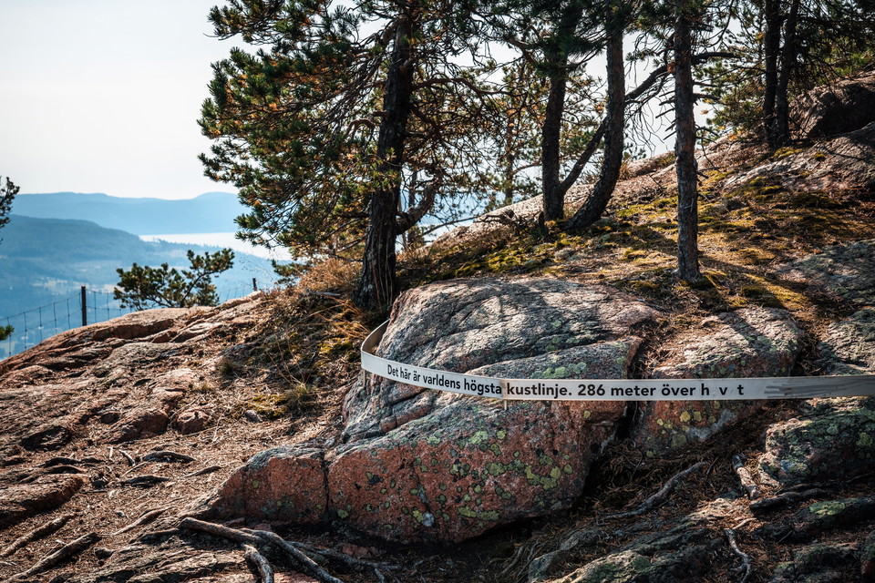
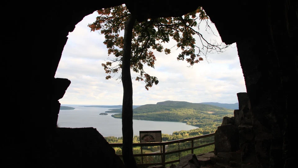
From Skuleberget the trail goes down towards Veåsand and further up Getsvedjeberget, where you will find our own "Pulpit" - a beautiful viewpoint with views of the High Coast. The hike continues through varied terrain until you reach Entrance South, the southern entrance to Skuleskogen National Park. Here you will find parking, dry toilets, benches and sheltered picnic areas - a perfect place to rest or start your hike into the national park.
Activities And Facilities
- Hiking
Parking
There is free parking at Skuleberget.
Communications
Stops Skuleberget E4 and Docksta Bus Station Current bus timetables can be found at www.dintur.se.
Regulations
Downloads
Please be aware that some of these texts have been automatically translated.
I’ve been here 13



I want to go here 28



Questions & Answers
Ask a question to other Naturkartan users.
Reviews
0 reviews
- 5 :
- 4 :
- 3 :
- 2 :
- 1 :
Users images
No user images yet. Be the first to share!
