
-
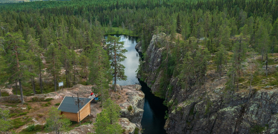
Photo: Beatrice Norrman -
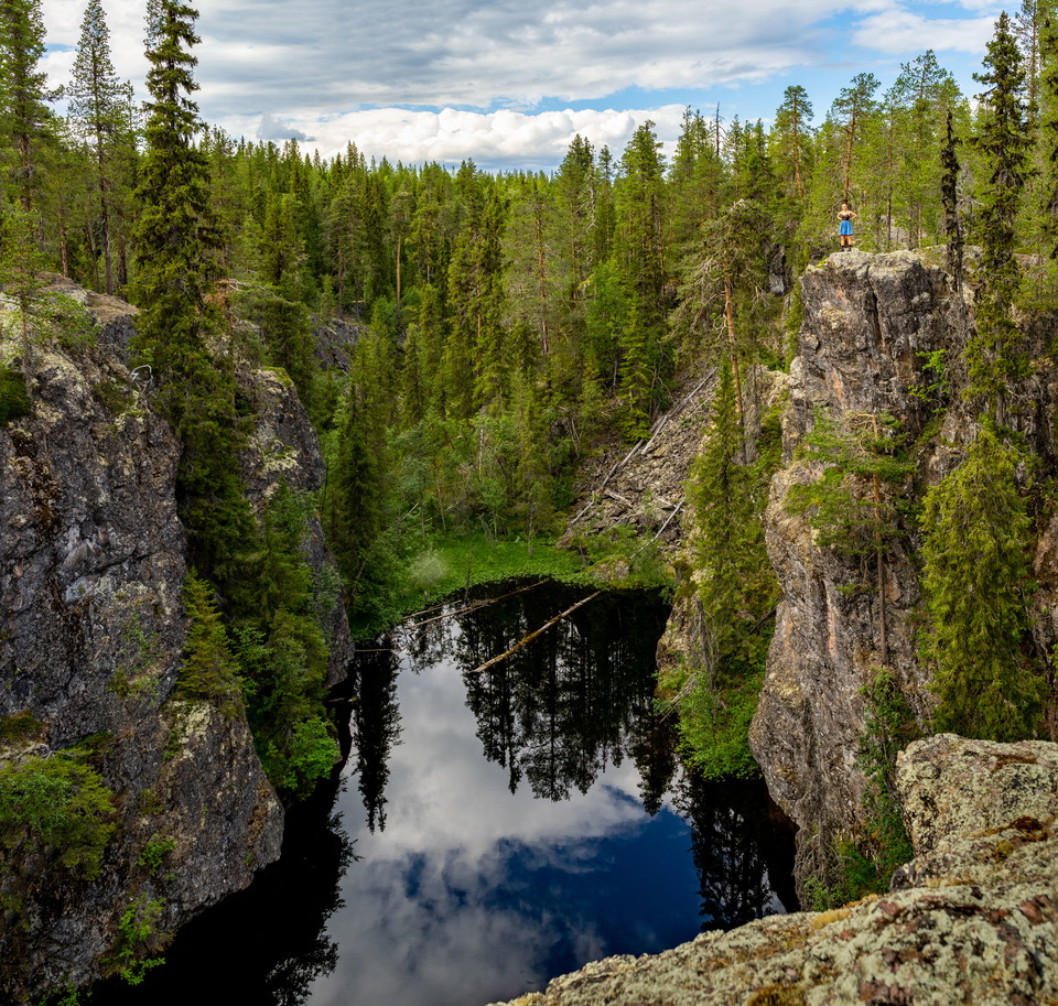
Photo: Beatrice Norrman -
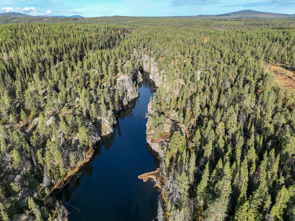
Photo: Linus Beimo
Gimegolts
- Nature reserve
- County: Västerbottens län
Actions
Description
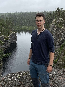
Gnarled old pines look down into the deep valley bottom. Suddenly, a golden eagle takes majestically to the air and soars away. Pines are anchored to the edges of the ravine, old and grey with flat crowns.
Only pines more than 150 years old have flat crowns. Many of them bear traces of forest fires, but have managed to survive for centuries.
Glacial river
Gimegolts was formed when a glacial river passed through here, almost 9,000 years ago. The river washed away the softer rock, leaving a narrow ravine behind it. The edges of Gimegolts are up to 25 metres in height. The glacial river was 10 km long and started in the current Laisälven river. From there, it forced its way through Loitoträsken and on to Gargån. On the sides of the valley, you can still find scrape marks indicating the ice’s progress.
Valley bottom
The bottom of the valley is covered with mires and fens. The fairly rare Lapland buttercup thrives in this damp environment. The cliff walls are covered with ferns. At the edge of the cliff, between rocks and boulders, the snow remains long into the spring. As a result, the snow-bed willow, which is otherwise an alpine plant, is able to survive here.
Activities And Facilities
- Nature reserve
Directions
The area is situated 16 km north-west of Sorsele. Follow the E45 highway for 12 kilometres from Sorsele. Turn off towards Heden. At the end of Södra Stenträsket, follow the gravel road for approximately 1 km. A path into the reserve starts here.
Contact
Email address
Länsstyrelsen Västerbotten
Organization logotype

Please be aware that some of these texts have been automatically translated.
I’ve been here 31




I want to go here 33


Questions & Answers
Ask a question to other Naturkartan users.
Reviews
3 reviews
- 5 :
- 4 :
- 3 :
- 2 :
- 1 :
Ett måste att besöka om ni är i närheten. Storslaget!
Har ni små barn med, håll hårt i dem dock. Man kommer högt, särskilt vid vindskyddet.
Users images
No user images yet. Be the first to share!

Otroligt mäktig plats! Klart värt ett besök! Och blir bara tjusigare längs stigen. Ta det lugnt och försiktigt bara, det är högt och brant som sagt.