
-
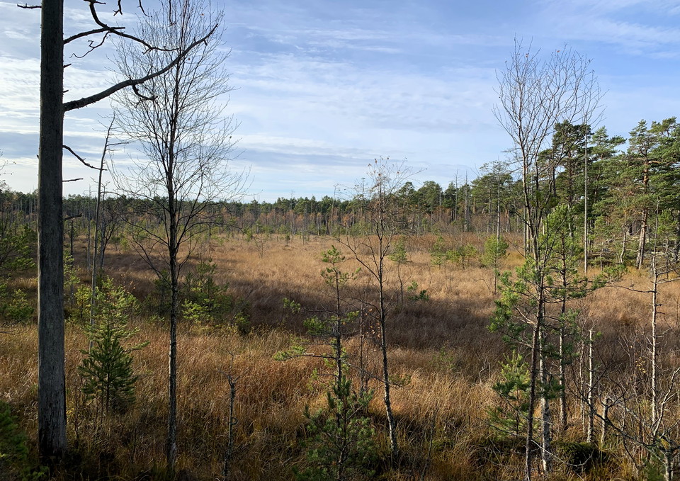
Photo: Länsstyrelsen Stockholm -
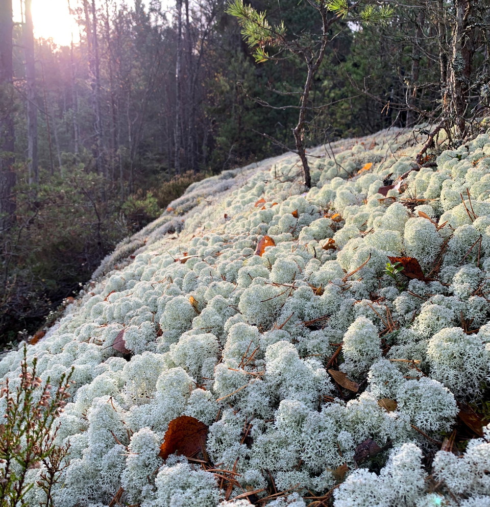
Photo: Länsstyrelsen Stockholm -
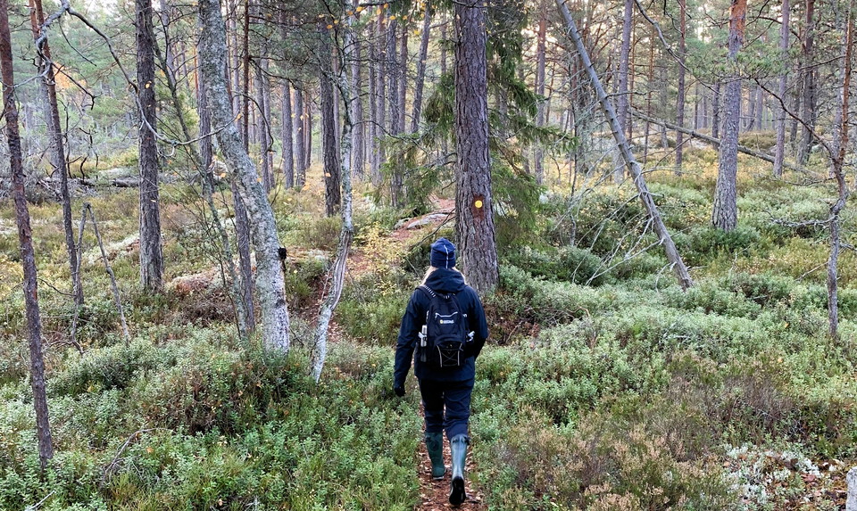
Photo: Länsstyrelsen Stockholm -
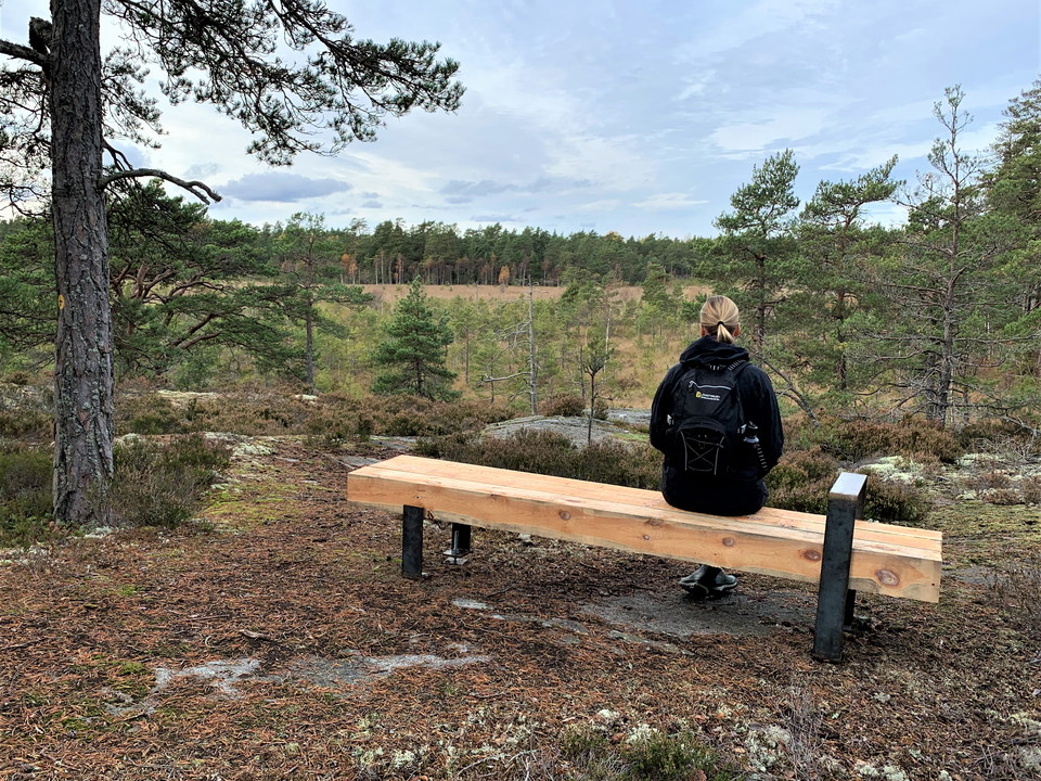
Photo: Länsstyrelsen Stockholm
Gjusmossen loop trail, Långviksträsk
- Hiking
- Circular trail
- County: Stockholms län
- 6863.08 km away from you
Trail details
- Length 5.6 km
Actions
Description
This circular trail is approximately 5,5 km long and leads through partly hilly terrain with a wonderful wilderness feeling! The walk takes you around the bog Gjusmossen. You will also get nice views of both Stormossen bog and Lake Långviksträsket.
Make a detour to one of the reserve's picnic areas with a fire pit. Bring your own firewood, or pick up a few logs when the trail passes by the firewood storage bin. It is located near the visitor parking lot in the southern part of the reserve.
You can reach the trail from the visitor parking lot in the southern part of the reserve (on Klacknäsvägen) or from Långvik, just east of the reserve.
The trail gets quite wet in wintertime, make sure to wear good boots.
Activities And Facilities
- Hiking
- Circular trail
Contact
Email address
Länsstyrelsen i Stockholm
Organization logotype
I’ve been here 1

I want to go here 5


Questions & Answers
Ask a question to other Naturkartan users.
Reviews
0 reviews
- 5 :
- 4 :
- 3 :
- 2 :
- 1 :
Users images
No user images yet. Be the first to share!
