
Kitinvaara
- Nature reserve
- County: Norrbottens län
Actions
Description
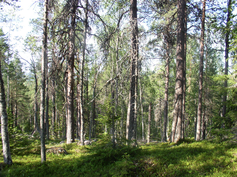
The reserve consists mainly of Vuolikkalanvinsa mountain, but there are other mountain slopes. Old growth coniferous forest grows here, also containing a lot of deciduous trees. As in all undisturbed forests traces of previous forest fires can be seen, and there are a lot of dead trees in the forest. The highest summit in the reserve is about 300 metres a.s.l. The area is 3.4 square kilometres in size.
Activities And Facilities
- Nature reserve
Facts
Municipality : Övertorneå
Year of formation : 2011
Size: 3.4 square kilometers
Administrator: County Administrative Board
Form of protection: Nature reserve
Communications
The reserve lies about 12 kilometres west of Juoksengi. A logging road leads as far as the area.
Directions
The reserve is located about 12 kilometers west of Juoksengi.
Regulations
Alla föreskrifter finns i reservatsbeslutet. Det är tillåtet att:
• tälta • vandra • köra snöskoter på väl snötäckt mark • göra upp en mindre eld • plocka bär och matsvamp • fiska och jaga i enlighet med gällande lagar
Det är inte tillåtet att skräpa ner eller skada växt- och djurliv. Tänk på allemansrätten och var rädd om naturen!
Contact
Email address
Länsstyrelsen Norrbotten
Organization logotype

Please be aware that some of these texts have been automatically translated.
I’ve been here
I want to go here
Questions & Answers
Ask a question to other Naturkartan users.
Reviews
0 reviews
- 5 :
- 4 :
- 3 :
- 2 :
- 1 :
Users images
No user images yet. Be the first to share!
