
-
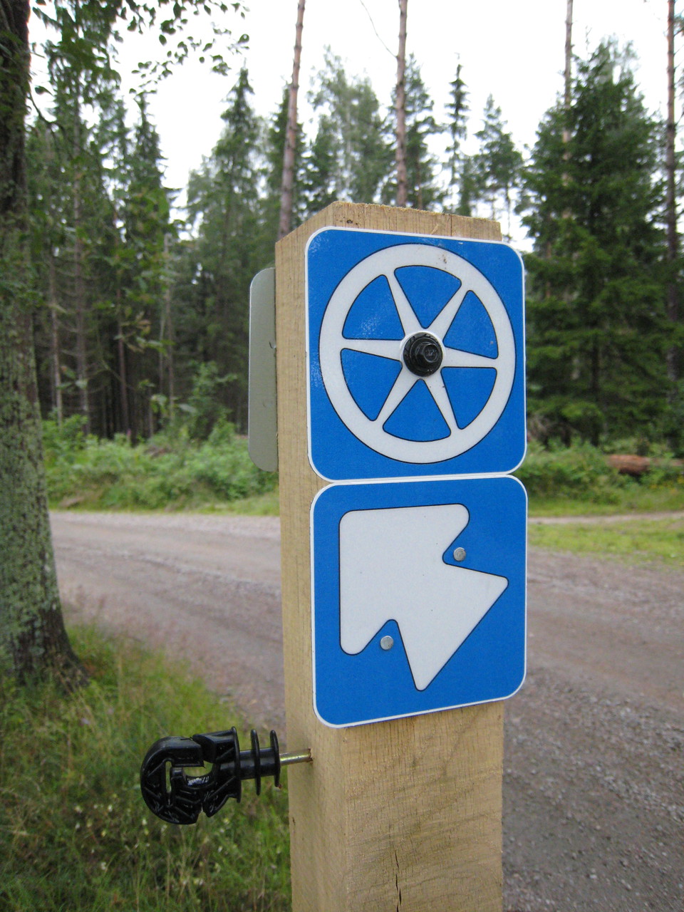
Symbol for directions -
Nature Reserve Bokhultet -
21 Hop off-stopp utmed rundslingan -
Nature Reserve Kronoberg -
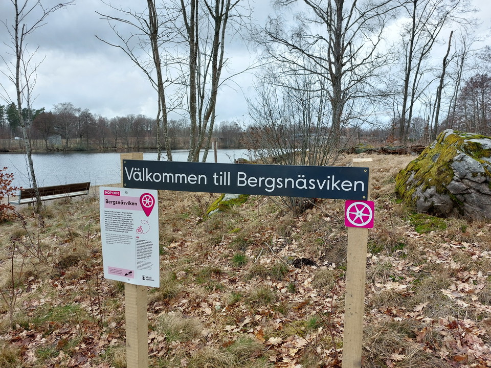
Hop off Bergsnäsviken -
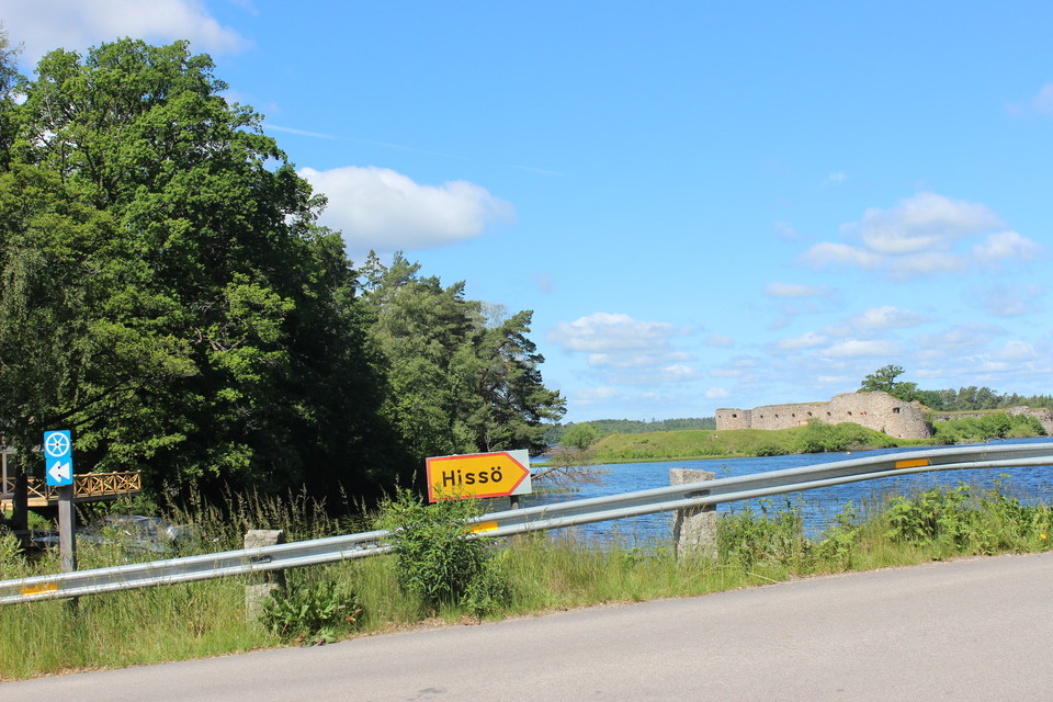
At Hissö bridge -
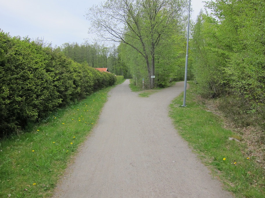
Nature Reserve Hovshaga -
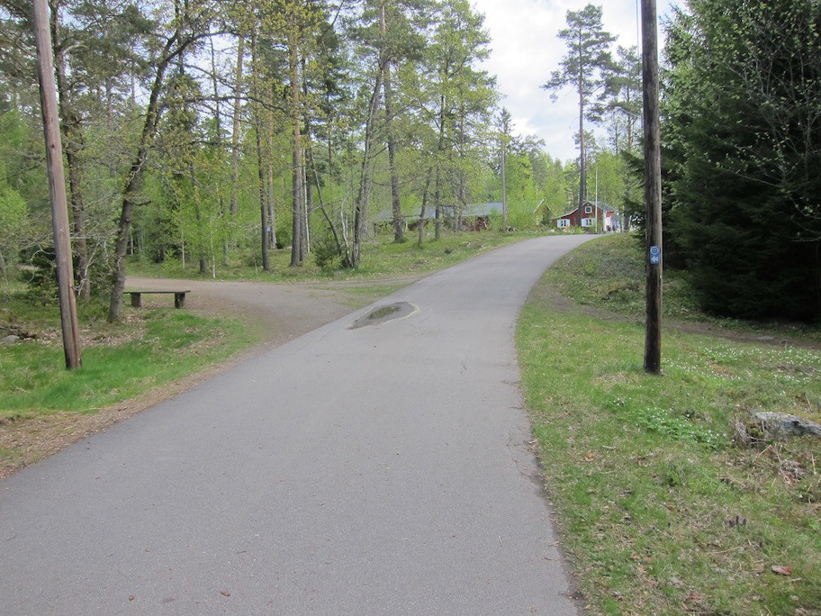
Nature Reserve Fylleryd -
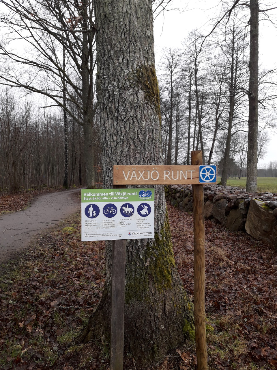
At Araby golf course -
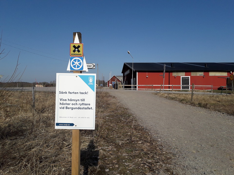
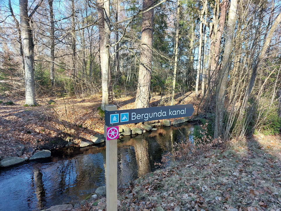
At Bergunda stable -
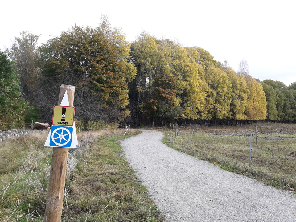
At Bergunda church
Round Växjö
- Biking
- Running
- Hiking
- Riding
- Stroller accessible
- Near parking
- Near Public Transport
- Circular trail
- County: Kronobergs län
- 6806.55 km away from you
Trail details
- Length 41.0 km
- Time 3 h
- Difficulty Blue - medium
Actions
Currently
As of March 27 in year 2020, Norra Sjörundan is included as a detour on the unique route Round Växjö. New bi-directional directions will in future apply between district Bergsnäs and Sanden in the Bokhultet nature reserve. Växjö municipality is developing the area Bäckaslöv and building a new district with housing and space for offices, trade and a new primary school. The gravel road section passing Bäckaslöv will be closed for some time.
Description
The Växjö Runt (Round Växjö) bicycle route is more than 40 kilometres long and makes a complete circuit of the city, also connecting six lakes, nature reserves and the city’s neighbourhoods. This well-marked trail offers familiar scenery, but also a number of surprises that are hidden from those who travel by car, such as the bridges and water at Lake Trummen and Helgevärma, the bright heights of Knutsgård, Fylleryd’s pine forests and the narrow-gauge railway to Evedal. Along this trail, there are several picnic areas with swimming and jetties, observation points, grilling areas, windbreaks and other conveniences. Pack a coffee and picnic basket, and enjoy a few hours of our fantastic nature, so close to Växjö. Be considerate, and we will all enjoy the Växjö Runt trail.
Activities And Facilities
- Biking
- Running
- Hiking
- Riding
- Circular trail
Accessibility
- Stroller accessible
- Near parking
- Near Public Transport
Surface
Mostly gravel and asphalt.
Hills
Some descent and ascent.
Directions
Växjö runt is a 4 mile long walking and cycling route around Växjö city. The starting point for the tour is optional and of course shortcuts via the city's cycle paths can be made for those who want to experience a shorter trip.
Downloads
Contact
Address
Telefon 0470-410 00
Email address
Kontaktcenter
Organization logotype
Please be aware that some of these texts have been automatically translated.
I’ve been here 27


I want to go here 38

Questions & Answers
Ask a question to other Naturkartan users.
Reviews
2 reviews
- 5 :
- 4 :
- 3 :
- 2 :
- 1 :
Users images
No user images yet. Be the first to share!

Den gpx som finns att ladda ner täcker inte hela varvet och på många ställen saknas, eller är skyltat med små skyltar som är mycket svåra att se när man kör lite fortare. Rundan är väldigt fin och skulle verkligen tjäna på att bli mer tillgänglig för oss som inte är här så ofta, som turister.
Tack för recension. Ledmarkering utmed 41 km rundslinga är genomgången, speciellt i alla korsningar. Två tips: använd appen Naturkartan på rull eller ta med Växjö kommuns Cykelkarta i fickformat ut som stöd. Växjö Runt vill vi ska funka för förstagångsbesökare.