
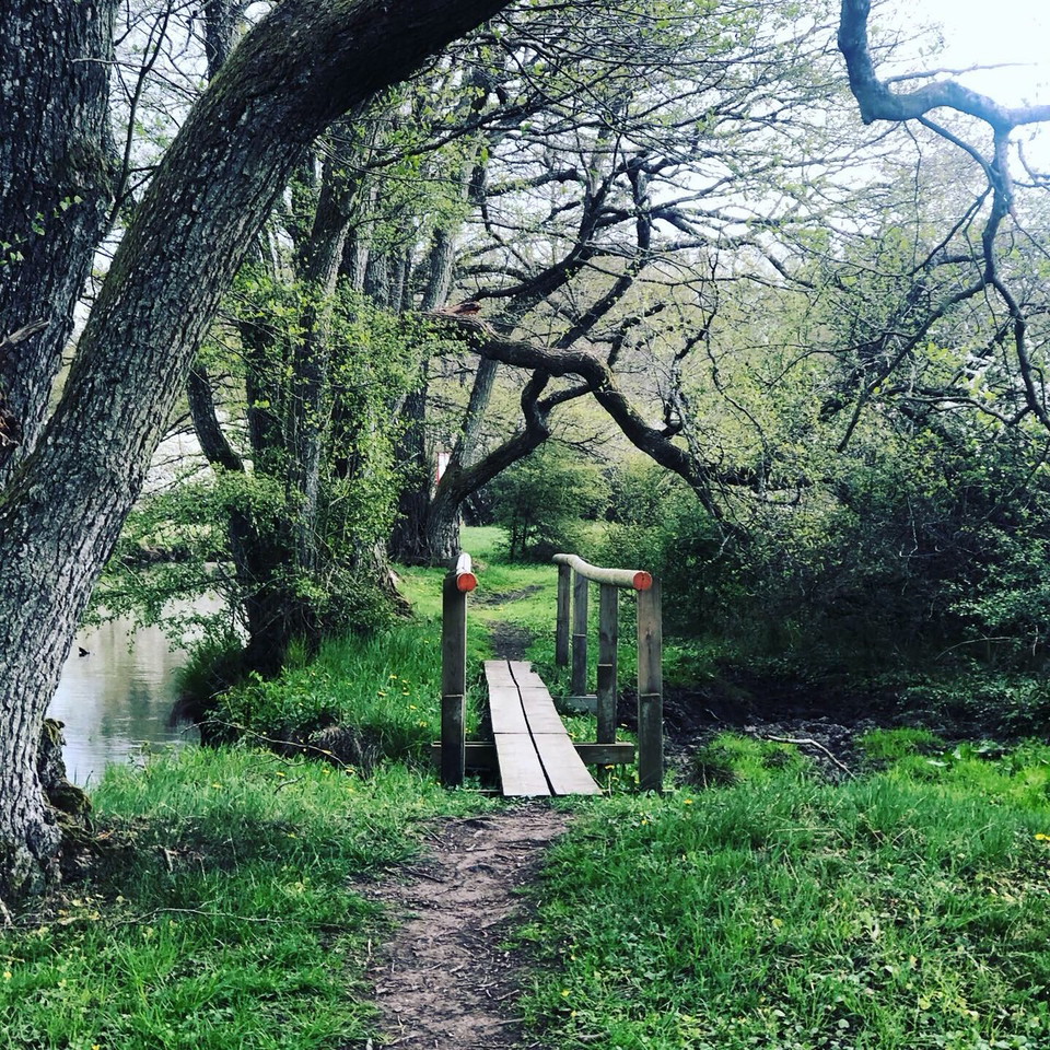
Torsåsleden 140km
- Hiking
- County: Kalmar län och Öland
- 6885.54 km away from you
Trail details
- Length 140.1 km
Actions
Description
Torsåsleden 140km
The 140 km long Torsåsleden trail, divided into 11 stages, is closed like a circle. Therefore, you can start your hike anywhere and use the rest and overnight stops available.
Explore Dackegrottan, swim in Iglasjön or why not try to move the 35-ton Vippstenen? Along the coast, the Torsåsleden trail is connected to the Kalmarsundsleden trail in the north. Here you will find one of the few remaining nesting sites in the Nordic region for the middle cormorant. If you're lucky, you might see seals! In the south, the Blekingeleden trail connects to Bröms - the old border line between Denmark and Sweden. The Danes built Brömsehus here in the 14th century.
Activities And Facilities
- Hiking
Downloads
Contact
Address
Email address
Visit Torsås
Please be aware that some of these texts have been automatically translated.
I’ve been here
I want to go here 10

Questions & Answers
Ask a question to other Naturkartan users.
Reviews
0 reviews
- 5 :
- 4 :
- 3 :
- 2 :
- 1 :
Users images
No user images yet. Be the first to share!
