




Toppstigen på Östberget
- Hiking
- Walking
- Trail running
- County: Jämtlands län
- 6467.44 km away from you
Trail details
- Length 4.8 km
- Difficulty Red — demanding
Actions
Description
Activities And Facilities
- Walking
- Hiking
- Trail running
Surface
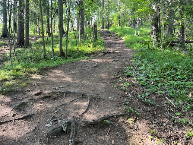
Path, steep steps, forest road and rock outcrop. Parts of the path have many roots and wet areas may occur.
Hills
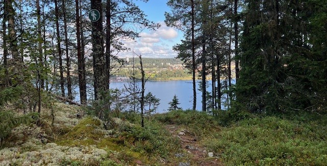
185 meters in altitude. Steep in parts.
Vegetation
Roots and wet areas are present.
Parking
The top of Östberget, Östberget's exercise trail and Gustavsbergsbacken.
Directions
Toppstigengår runt uppe på Östberget men är möjlig att ansluta från flera "entréer" runt Östberget. Det finns parkeringar vid motionsspåret och på toppen av Östberget men även vid skidbackarna Ladängen och Gustavsbergsbacken.
Contact
Address
Kultur- och fritidsförvaltningen Box 705 831 28 Östersund
Email address
Jens Tirén
Organization logotype

Please be aware that some of these texts have been automatically translated.
I’ve been here
I want to go here 3
Reviews
—
0 reviews
- 5 :
- 4 :
- 3 :
- 2 :
- 1 :
Questions & Answers
Ask a question to other Naturkartan users.
Users images
Share your photos of the place!
