
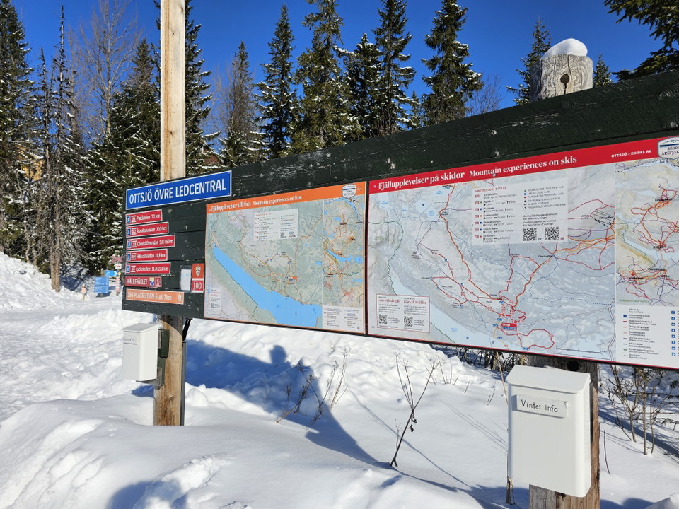
Ledstart/ startplats: Övre ledcentralen (Ottsjö)
- Hub
- Orienteering
- Skiing
- Trail running
- County: Jämtlands län
- 6396.70 km away from you
Actions
Description
At the upper trailhead in Ottsjö you can park and start your mountain tour both in summer and winter.
Activities And Facilities
- Orienteering
- Skiing
- Trail running
- Hub
Communications
From the nearest bus stop or train station
The nearest bus stop is in Ottsjö and from the bus station it is 1km to walk along the road to the trailhead. To get to Ottsjö by bus, choose Länstrafikens buss 562.
The nearest train station is Undersåkers station. Here you pass Länstrafikens bus 562 for further travel up or down from Ottsjö.
Directions
Turn off the E14 in Undersåker and follow the signs for Vålådalen/ Ottsjö. Follow Vålådalsvägen until you see signs for Ottsjö. Just before Ottsjö, take the exit road up towards Ottsjö Fjällby and you will find the trail center on the right just after you pass the mountain village.
Vägbeskrivning via google maps
63.21915242647871, 13.056287899484197
Please be aware that some of these texts have been automatically translated.
I’ve been here
I want to go here
Questions & Answers
Ask a question to other Naturkartan users.
Reviews
0 reviews
- 5 :
- 4 :
- 3 :
- 2 :
- 1 :
Users images
No user images yet. Be the first to share!
