
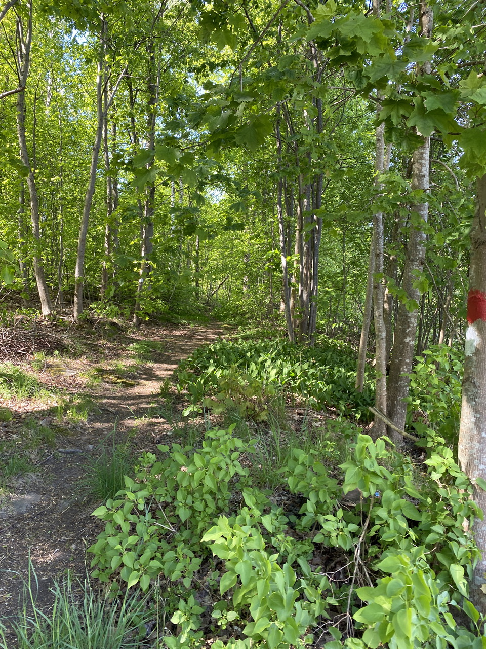
Tjuvahålsleden, Knäred röd markering
- Green = Low risk of congestion
- Quiet places
- Walking
- Running
- Hiking
- Near parking
- Near toilet
- Circular trail
- County: Hallands län
- 6749.14 km away from you
Trail details
- Length 9.1 km
- Difficulty Blue - medium
Actions
Description
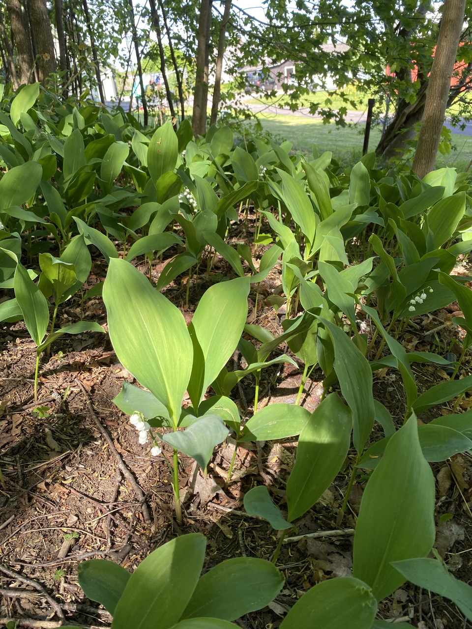
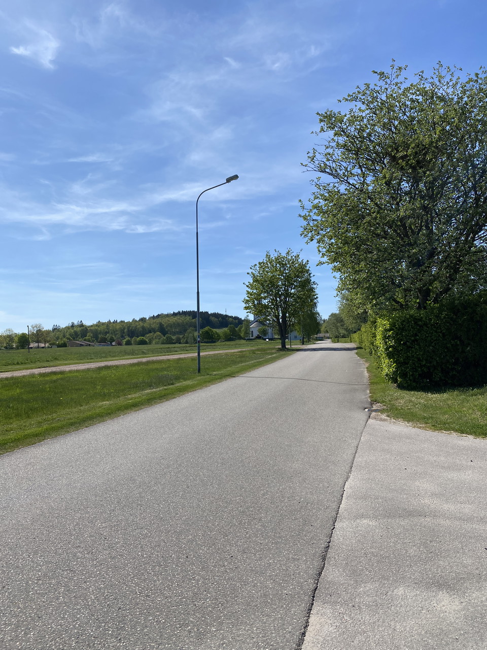
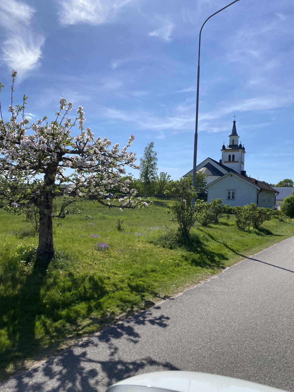
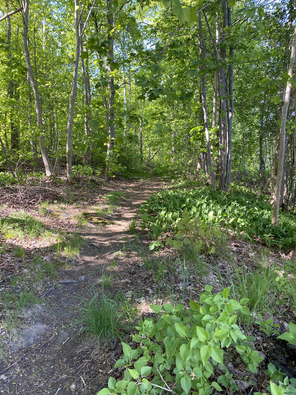
A tour that takes you in mixed terrain with , where robbers were located during the snapphane era. The tour goes partly through terrain, which can be damp at times.
Activities And Facilities
- Quiet places
- Walking
- Running
- Hiking
- Circular trail
- Green = Low risk of congestion
Accessibility
- Near parking
- Near toilet
Surface
Mixed terrain, asphalt, gravel, forest path
Hills
Somewhat challenging at times
Parking
Parking is available at the sports ground in Knäred, where there is also a large board of different trails.
Communications
Bus runs once or twice a day
Contact
Address
0430-15000
Email address
Kontaktcenter
Organization logotype

Please be aware that some of these texts have been automatically translated.
I’ve been here 1

I want to go here 4
Questions & Answers
Ask a question to other Naturkartan users.
Reviews
0 reviews
- 5 :
- 4 :
- 3 :
- 2 :
- 1 :
Users images
No user images yet. Be the first to share!
