
-
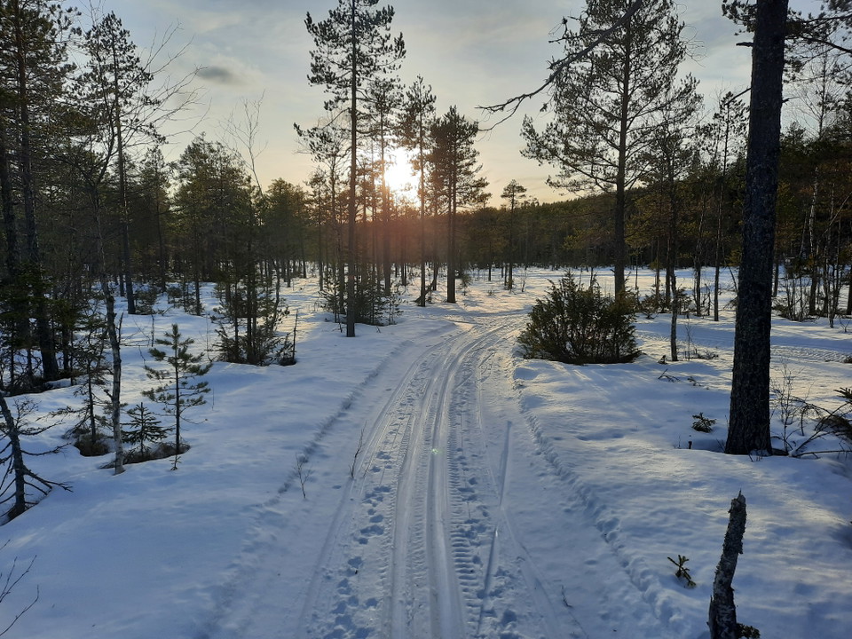
Spåren går på mestadels myrmark
Photo: Andreas Davidsson -
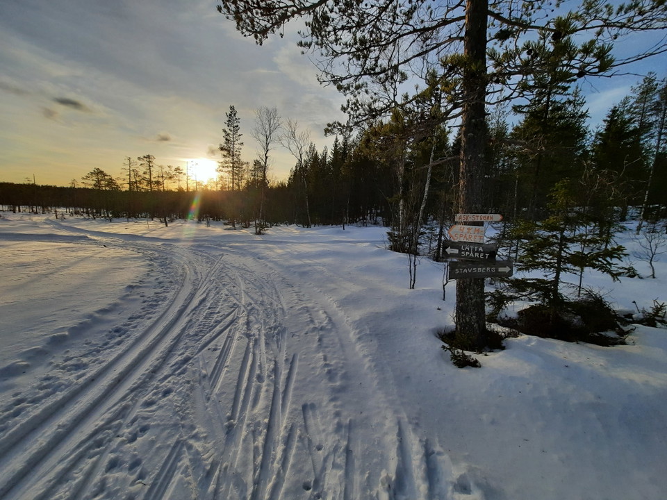
Underbar fjällkänsla på Alfta Finnskog
Photo: Andreas Davidsson -
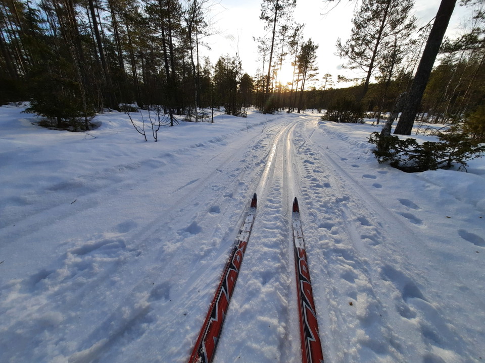
Spår för klassisk åkning
Photo: Andreas Davidsson -
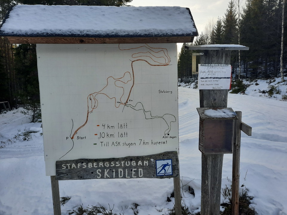
Skiss på skidspåren
Photo: Andreas Davidsson -
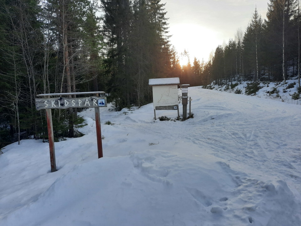
Här startar spåren
Photo: Andreas Davidsson -
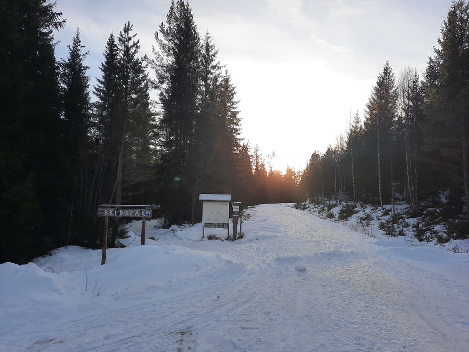
Spårcentral med parkering
Photo: Andreas Davidsson
Stafsberg skidspår, lätta myrsslingan 4 km
- Skiing
- Editor's choice
- County: Gävleborgs län
- 6633.67 km away from you
Trail details
- Length 4.0 km
- Difficulty Green — simple
Actions
Currently
The trails are maintained voluntarily by Alfta Skogskarlar and it is possible to swish a contribution to trail maker Lars G Engström, 070-697 57 16. Mark with ASK SKI
Current trail status is added to: https://www.facebook.com/stafsbergalftaandStafsberg (Grannäs) in Ovanåker municipality, Gävleborg county on Skidspår.se (skidspar.se)
Description
Activities And Facilities
- Editor's choice
- Skiing
Facts
Stavsberget is the name of Ovanåker municipality's highest mountain and measures 498 meters above sea level. These ski tracks are located on high moorland on the east side of the mountain. Stafsbergstugan is also located on the mountain, where you can go ski touring, snowmobiling or cross-country skiing when there is good snow.
Surface
The trails run on forest roads and mostly wooded moorland. Mountain feeling!
Hills
Small hills
Parking
Park at the start of the ski trails on the plowed pocket next to the gravel road
Communications
Only about 20 minutes by car from Alfta you will find this gem that is well worth a visit.
Directions
Take the RV50, just south of Älvkarhed turn east towards Grannäs 17 km. Follow the gravel road until you reach the parking lot for the ski tracks, which is in a curve along the road.
Contact
Address
Naturkartan Voxnadalen är en karta som är tänkt att samla allt för den som vill utforska Voxnadalen på egen hand. Vandringsleder, badplatser, höga naturvärden, utsikter, häftiga platser. Här samlar vi både kommunala anläggningar, ideella föreningars anläggningar (bidra gärna om ni saknas) och platser som finns på privat mark som kan vara intressanta för besökare i vårt biosfärområde. Ambitionen är att vi tillsammans bygger och bidrar till den bästa besöksguiden i Hälsingland.
Email address
Biosfärområde Voxnadalen
Please be aware that some of these texts have been automatically translated.
I’ve been here
I want to go here
Questions & Answers
Ask a question to other Naturkartan users.
Reviews
0 reviews
- 5 :
- 4 :
- 3 :
- 2 :
- 1 :
Users images
No user images yet. Be the first to share!
