Örebro län

Archaeological

Map

5 Archaeological

Milestone

Etappmål Pershyttan

  • Municipality: Nora
  • 6677.95 km away from you

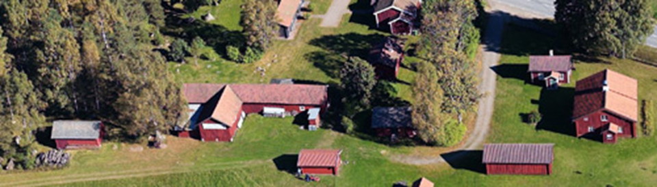
To get to Pershyttan, take off from county road 244 Örebro-Hällefors at the turnoff towards Nora and follow the highway towards Pershyttan, it is signposted. There is a parking lot, toilet, water and seasonal restaurant. In the village there are also a coup…

Culture

Ramundeboda monastery ruin

  • Municipality: Laxå
  • 6682.85 km away from you

At Lake Borasjön on the E20 motorway, 4 km west of Laxå, you can find the remains of a Antonite monastery, which was built at the end of the 13th century. Ramundeboda is also the original place where the Ramundeboda Church stood, which later moved to Laxå.…

Archaeological

Finnerödja Hembygdsföreningen

  • Municipality: Laxå
  • 6678.93 km away from you

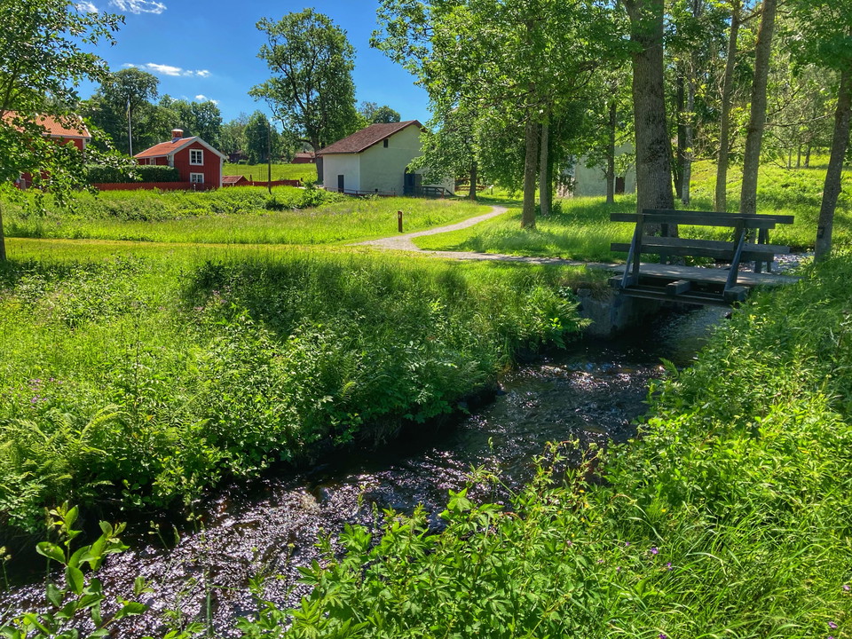
Hembygdsgården is an old bell tower, surrounded by greenery. It has been on the site since the 17th century. There are several interesting buildings, such as a school museum, a baker's cottage, a flax sauna and a smithy. The association also has a café, a s…

Archaeological

Blå grottan

  • Municipality: Örebro
  • 6686.18 km away from you
  • 0.2 km
  • Difficulty: Blue

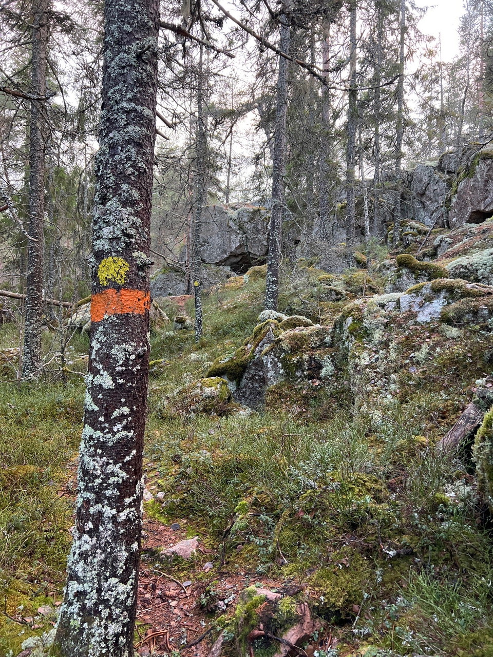
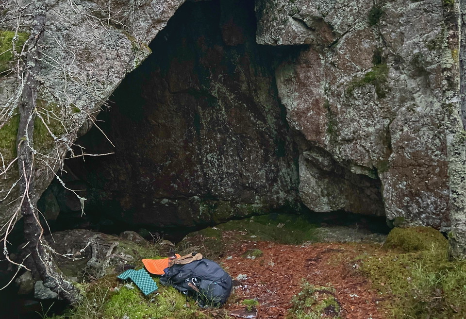
The Blue Cave is a cave formation on the edge of the Skärmaboda area in connection with stage 8. It is a typical boulder cave with a depth of approx. 8 m. and maximum height approx. 4 m.

Archaeological

Frihetsportalen

  • Municipality: Örebro
  • 6685.83 km away from you
  • 0.5 km
  • Difficulty: Blue

Frihetsportalen is a cave formation on the edge of the Skärmaboda area in connection with stage 8. The cave consists of a 15 meter long crack that you can walk through.

Naturkartan

Open this in the app