
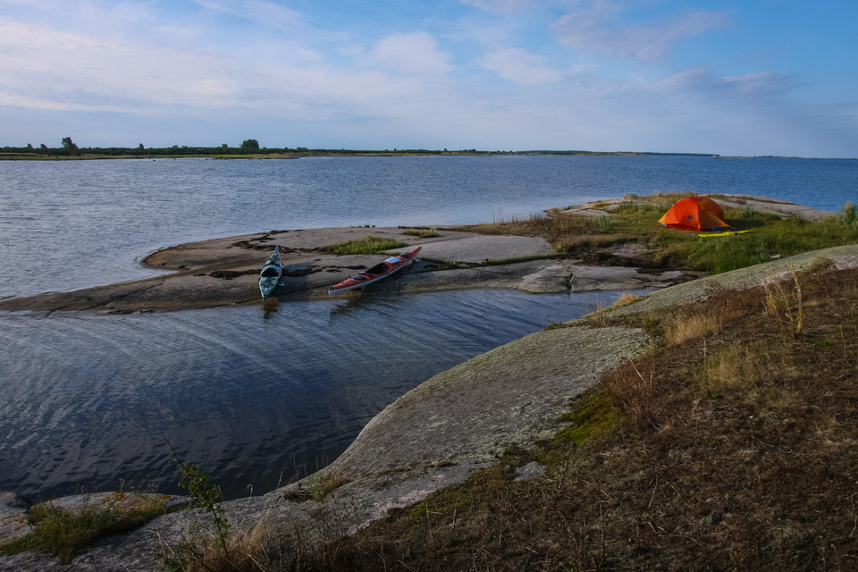
Kayaking trail Torhamn – Stenshamn
- Paddling
- County: Blekinge län
- 6908.94 km away from you
Trail details
- Length 11.8 km
- Difficulty Blue — medium
Actions
Description
Activities And Facilities
- Paddling
Downloads
Contact
Address
Blekinge Arkipelag Kurpromenaden 4 372 36 Ronneby
Email address
Team ARK56
Organization logotype

I’ve been here 5

I want to go here 4
Reviews
—
0 reviews
- 5 :
- 4 :
- 3 :
- 2 :
- 1 :
Questions & Answers
Ask a question to other Naturkartan users.
Users images
Share your photos of the place!
