
Strömsholm Canal (section 8 of 8) — Hallstahammar to Borgåsund
- Paddling
- Near parking
- Near Public Transport
- Near toilet
- County: Västmanlands län
- 6731.41 km away from you
Trail details
- Length 14.0 km
- Time 5 h 30 min
- Difficulty Green — simple
Actions
Description
Activities And Facilities
- Paddling
Accessibility
- Near parking
- Near Public Transport
- Near toilet
Facts
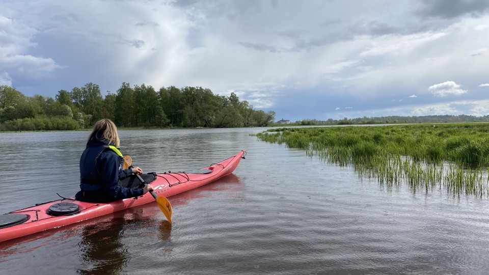
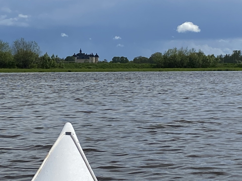
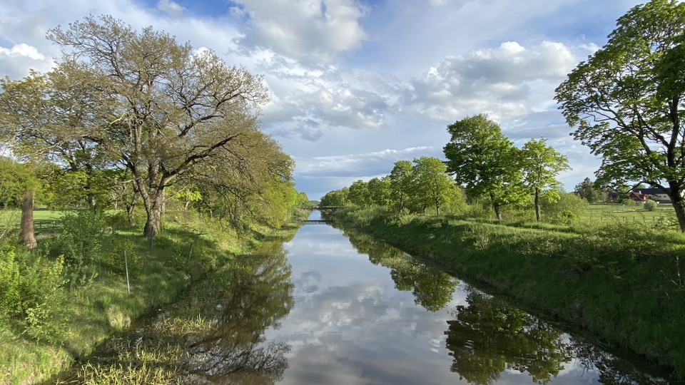
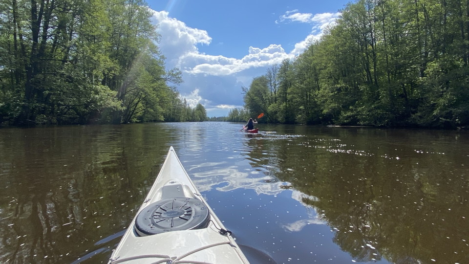
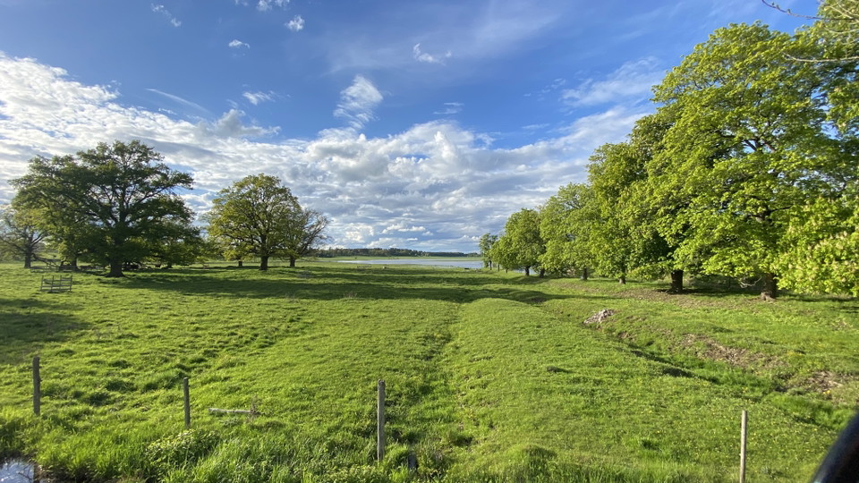
The Strömsholm Canal is one of Sweden's longest canals and follows the Kolbäcksån river from Smedjebacken in the north to Borgåsund in the south, where it flows into Lake Mälaren. The canal was commissioned in 1795 with the aim of meeting the transportation needs of the mining industry. During its approximately 10-mile journey, the canal passes through several Westmanland mill towns that in the old days produced the products that helped build Sweden's prosperity. Paddling tours in Strömsholm's canal offer fascinating history, beautiful nature and lovely cafes and restaurants. The entire canal can be paddled during one multi-day trip with stops at nice accommodations along the way, or be covered with several day trips during a summer. Welcome here!
Visit www.stromsholmskanal.se for more information.
Parking
There are several parking lots of varying sizes along the route. Use the map interface above to find a parking lot suitable for you.
Communications
All towns along the route are connected by bus. Book your trip via www.vl.se and find the appropriate bus stop in the map interfaces above.
You can also reach Hallstahammar and Kolbäck by train. Book your trip via www.sj.se.
Directions
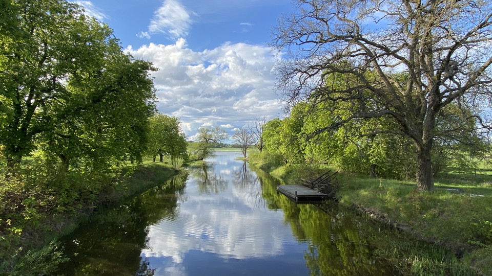
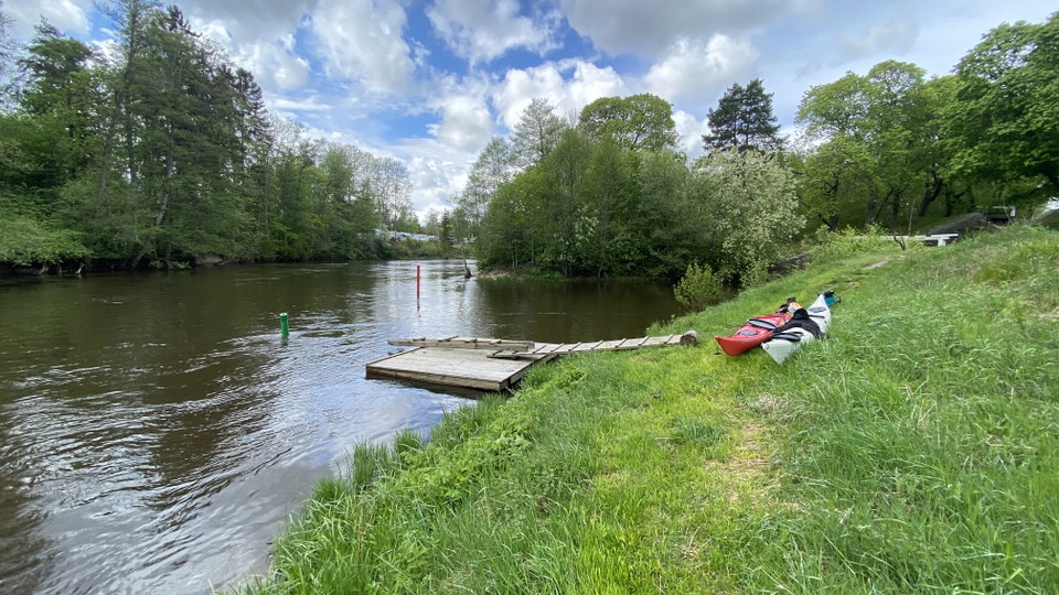
The section begins in Hallstahammar at the canoe dock on the west side of the Kolbäcksån river under the bridge for the Sörkvarnsvägen road. There is a small gravel parking lot next to the dock.
You can rent canoes from Lakeside Adventure, which is attached to Skantzsö Camping and where there is additional parking.
Regulations
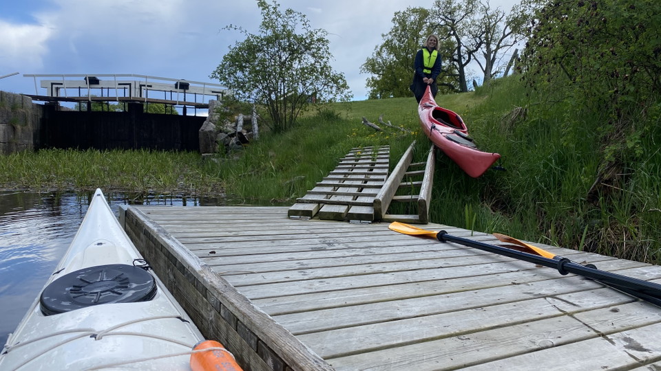
Along the Strömsholm Canal, there are several small hydroelectric power stations, and flowing water may occur next to them. For your safety, keep a safe distance from the facilities. Use the map to be prepared for where the facilities occur and pay attention to warning signs when they occur. Click on the icon for each landing and pick-up dock for more information on the conditions at each dock.
The water in the Strömsholm Canal is more current when there are high water flows. Contact the canoe rental company Lakeside Adventure for more information about safety and water flows.
Downloads
Contact
Email address
Organization logotype

Please be aware that some of these texts have been automatically translated.
I’ve been here 2

I want to go here 6

Reviews
—
0 reviews
- 5 :
- 4 :
- 3 :
- 2 :
- 1 :
Questions & Answers
Ask a question to other Naturkartan users.
Users images
Share your photos of the place!
