
Väretsfjället
- Hiking
- County: Västerbottens län
- 6383.47 km away from you
Trail details
- Length 4.0 km
- Difficulty Blue - medium
Actions
Description
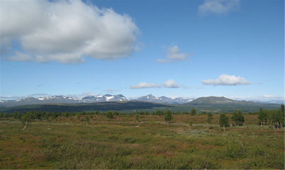
Easy hiking mountain with beautiful views.
Activities And Facilities
- Hiking
Facts
DESCRIPTION
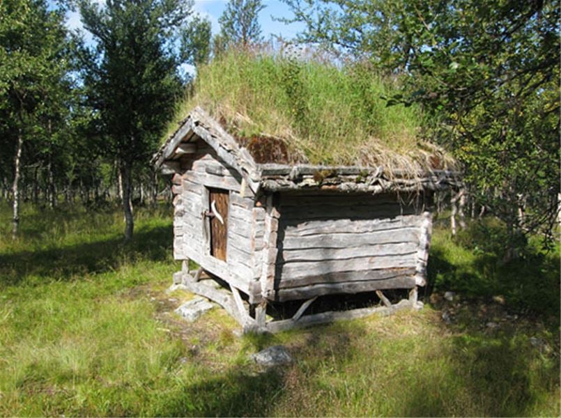
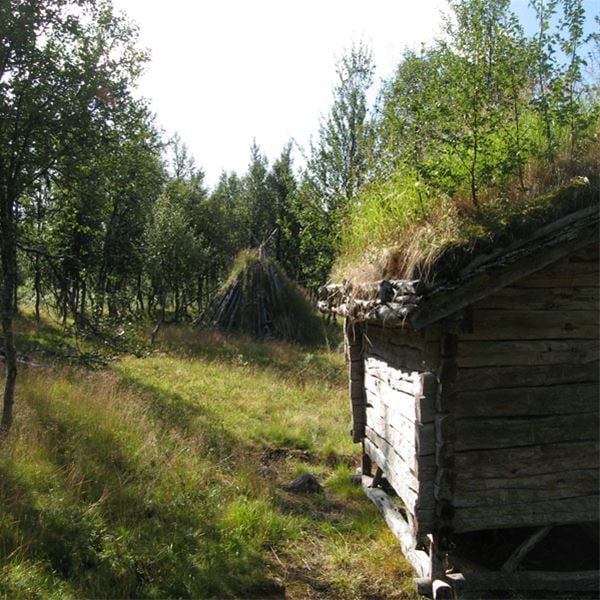
At the end of the road in Biellojaur 4 km, a path starts up to Väretsfjället. Easy hiking trail up to the bare mountain where the trail ends, 4 km. Renovated nice hut and pole shed (njalla) in the upper birch forest. Then very easy walking mountain heath. Nice views.
Take the opportunity to look for the trapping pits at the end of the road on the other side of the stream, but they can be difficult to find.
Directions
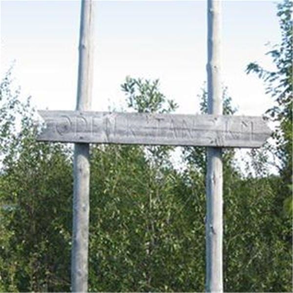
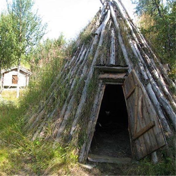
From the E12, head towards Norra Fjällnäs and continue through the village. After approx. 3 kilometers turn off towards Biellojaur. Drive to the end of the road, here the path towards Väretsfjället begins. Follow the sign towards Odenkåtan.
Contact
Address
+46 (0)954-140 33
Email address
Turistinformation Hemavan Tärnaby
Please be aware that some of these texts have been automatically translated.
I’ve been here 2


I want to go here 3
Questions & Answers
Ask a question to other Naturkartan users.
Reviews
0 reviews
- 5 :
- 4 :
- 3 :
- 2 :
- 1 :
Users images
No user images yet. Be the first to share!
