
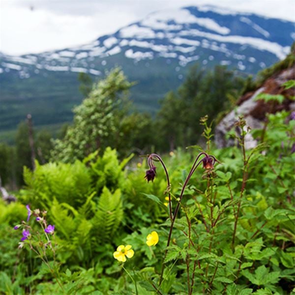
Stalotomter på Rödingsfjället
- Archaeological
- Culture
- Attraction
- County: Västerbottens län
- 6340.97 km away from you
Actions
Description
Activities And Facilities
- Culture
- Attraction
- Archaeological
Directions
The hike to Stalotomterna and Rödingsfjället starts at the end of the road in the western part of Rönäs village. First along a bypassed road 700 m to some mountain huts. The summer trail starts just below the western of the cabins. Choose the upper path marked on the map. The lower one is very difficult to follow. After about 4 km the landscape becomes more open. The path leads up to large grass-like openings on a plateau, where the ground is almost completely flat, here are the Stalo plots.
Contact
Address
+46 (0)954-140 33
Email address
Turistinformation Hemavan Tärnaby
Please be aware that some of these texts have been automatically translated.
I’ve been here
I want to go here 2

Reviews
—
0 reviews
- 5 :
- 4 :
- 3 :
- 2 :
- 1 :
Questions & Answers
Ask a question to other Naturkartan users.
Users images
Share your photos of the place!
