
Norrboleden Vandringsled
- Hiking
- Quiet places
- Running
- Trail running
- Circular trail
Trail details
- Length 13.0 km
- Time 3 h
- Difficulty Blue - medium
Actions
Description
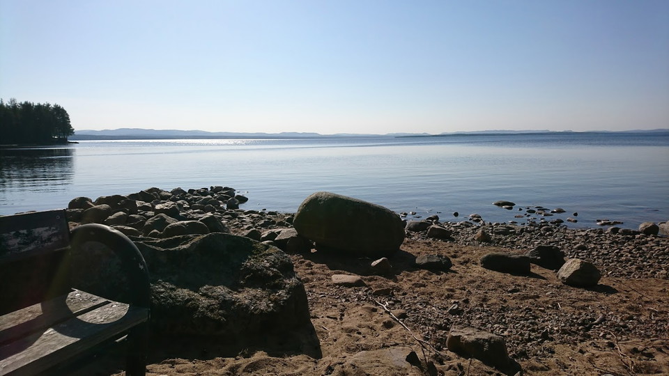
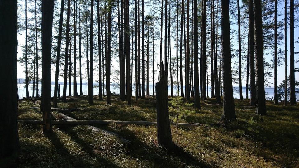
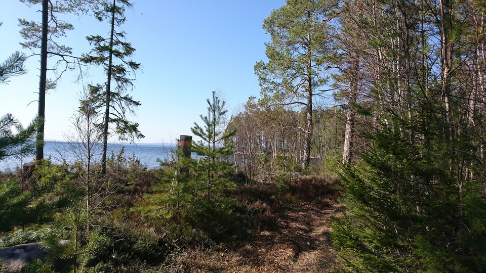
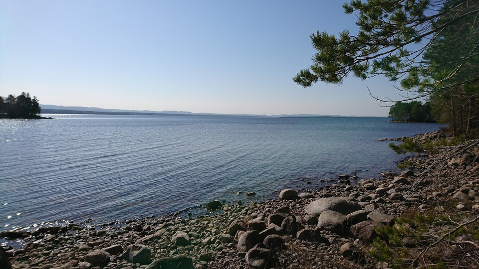
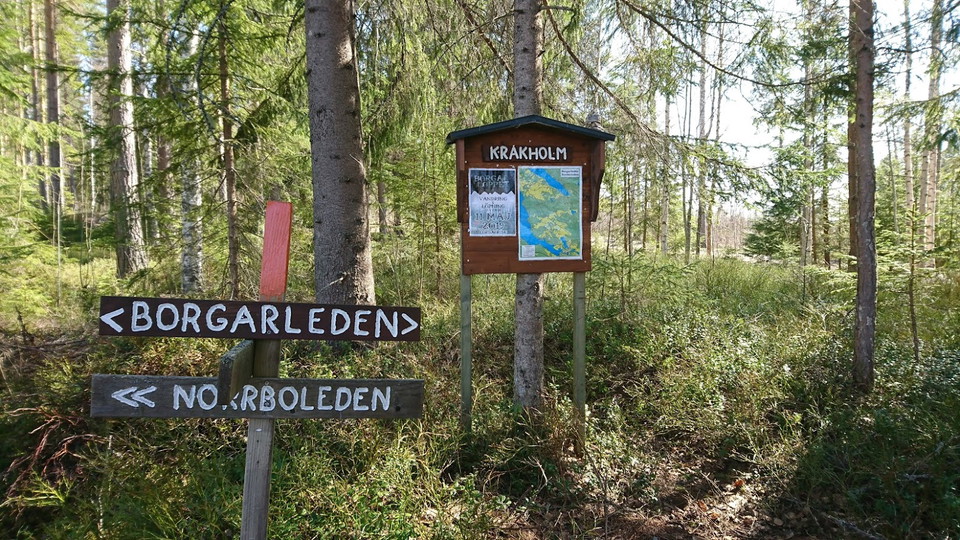
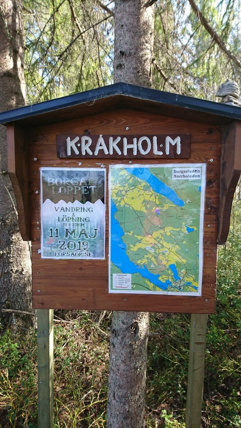
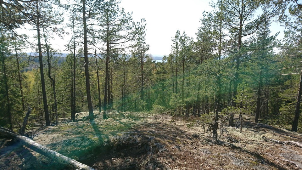
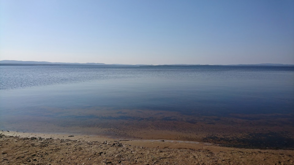
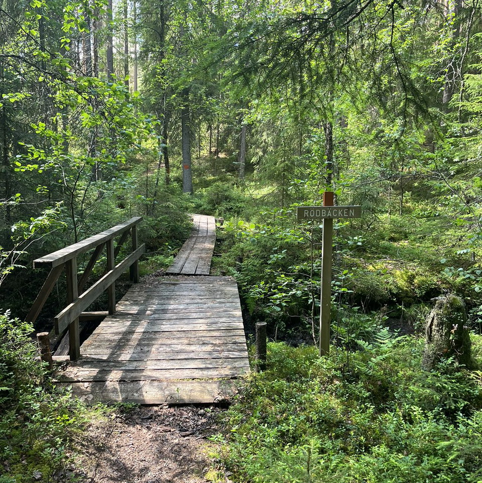
Norrboleden is a 13 km long hiking trail that runs along forest paths and small roads in Norrbo. It runs along both Södra and Norra Dellen's beaches with fine swimming opportunities. The trail is well marked with orange markings and is easy to walk except for the hill up Josefsberget. In spring it can be a little wet at times. It goes in a circle so you come back to the starting point. If you want to walk shorter than 13 km, you can take a shortcut via one of the village roads. You can start at Josefsberget, Norrbo Hembygdsgård or Norrbo school where there are parking lots. Up on Josefsberget there is a viewpoint with a bench to sit on. Below the mountain there is a spring with usually fresh water. At Hembygdsgården there are great opportunities to sit and eat your lunch and enjoy a fantastic view. If it is open at Hembygdsgården or at Norrbo school's dining room, there are toilets and water there. There are barbecue areas at Josefsberget, Hembygdsgården, Långharpa and Bärlins viken. Norrboleden is managed by Norrbo IF's pathfinder group. Contact us at norrboif@norrbo.nu if you want to know more. Welcome to Norrbo and have a nice hike!

Activities And Facilities
- Quiet places
- Running
- Hiking
- Trail running
- Circular trail
Vegetation
Mixed forest, partly the trail passes arable land.
Parking
For example, at Norrbo school in Hålsjö, at Norrbo Hembygdsgård or at Josefs Källa.
Communications
X-trafik Bus line 20 serves the route. Get off at Norrbo school.
Contact
Email address
Åsa Eriksson
Please be aware that some of these texts have been automatically translated.
I’ve been here 36








I want to go here 57








Questions & Answers
Ask a question to other Naturkartan users.
Reviews
7 reviews
- 5 :
- 4 :
- 3 :
- 2 :
- 1 :
Users images
No user images yet. Be the first to share!


Fin och välskött led som passar för en heldag med picknick och kanske bad. Vi ställde bilen vid hembygdsgården och gick mot Josefsberget. Mycket vackra vyer och varierad terräng. Synd bara med den nya sträckan vid Syddellen som är en omväg in i skogen. Vi hade hellre fortsatt längs vattnet.