
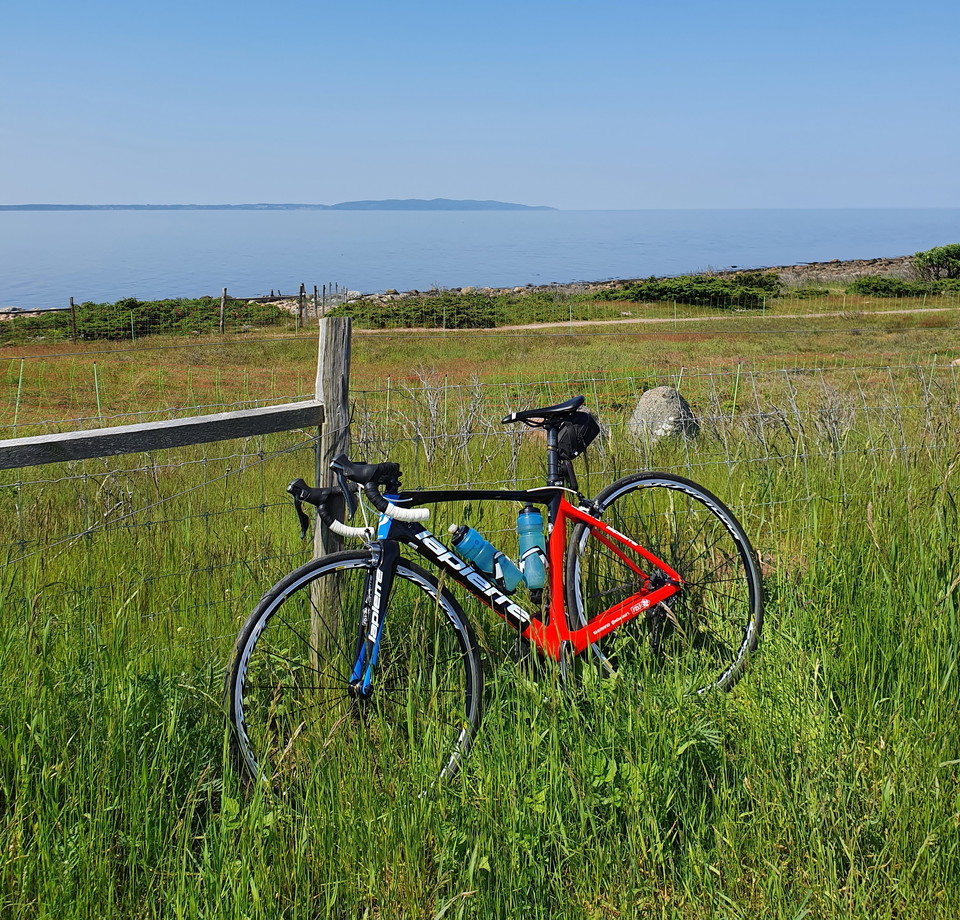
Hav och banvall
- Biking
- County: Skåne län
- 6729.30 km away from you
Trail details
- Length 19.0 km
- Difficulty Blue - medium
Actions
Description
Starting in Båstad, you head straight for the slopes of Hallandsåsen. But up there, beautiful views of the sea await. Enjoy the rolling greenery of the ridge before it's time to drive downhill, again accompanied by the sea. At the foot, the old embankment awaits, taking you all the way back to Båstad - via dramatic and scenic Sinarpsdalen.
This tour is mostly on cycle paths, as well as low-traffic minor roads.
Length 19 km, altitude difference 240 meters
Cycling clockwise is recommended.
The cycle path is a collaboration between Båstad municipality, Laholm municipality, Ängelholm municipality and Örkelljunga municipality.
Activities And Facilities
- Biking
Downloads
Contact
Address
0430-15000
Email address
Kontaktcenter
Organization logotype

Please be aware that some of these texts have been automatically translated.
I’ve been here
I want to go here 1

Questions & Answers
Ask a question to other Naturkartan users.
Reviews
0 reviews
- 5 :
- 4 :
- 3 :
- 2 :
- 1 :
Users images
No user images yet. Be the first to share!
