
Bjärerundan
- Biking
- County: Skåne län
- 6721.14 km away from you
Trail details
- Length 62.27 km
- Difficulty Blue - medium
Actions
Description
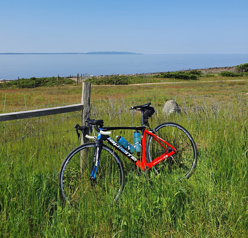
You get Båstad, Kattvik and Torekov - the three golden grains! You are also treated to lovely views of the Kulla Peninsula and the classic Margeretetorp stretch with rippling water and cooling deciduous forest. This tour ends with breathtaking views of Laholmsbukten.
This tour runs on a combination of low-traffic and more busy roads.
Length 62 km, altitude difference 670 meters.
The cycle path is a collaboration between Båstad municipality, Laholm municipality, Ängelholm municipality and Örkelljunga municipality.
Please note that the bike route is not marked out on site.
Activities And Facilities
- Biking
Contact
Address
0430-15000
Email address
Kontaktcenter
Organization logotype

Please be aware that some of these texts have been automatically translated.
I’ve been here 1

I want to go here
Questions & Answers
Ask a question to other Naturkartan users.
Reviews
0 reviews
- 5 :
- 4 :
- 3 :
- 2 :
- 1 :
Users images
No user images yet. Be the first to share!
