
Trelänsleden
- Biking
- Circular trail
- County: Örebro län
- 6670.29 km away from you
Trail details
- Length 63.3 km
- Difficulty Blue - medium
Actions
Currently
NOTE! The route has no markings or signs!
Description
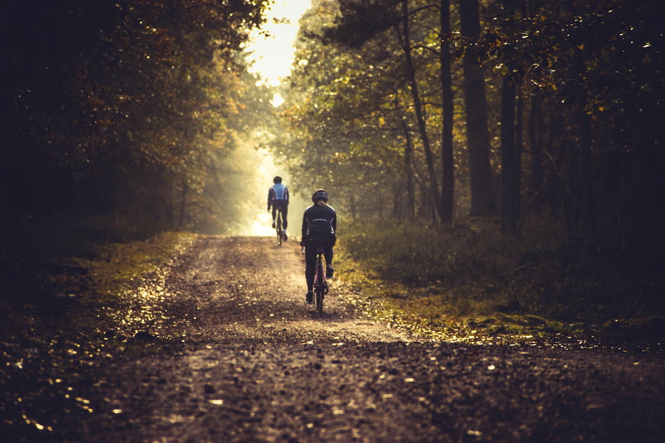
In Malingsbo-Kloten there are great opportunities to cycle on gravel roads and forest trails. You can easily customize the length and difficulty of your bike ride according to your own wishes.
Trelänsleden is a longer bike ride of 63.3 km that starts and ends in Örebro County further into Dalarna and Västmanland. The trail stretches along gravel and asphalt roads and starts in Kloten, passes the villages Gammelbo and Källfallet further back to Kloten.
The trail can be started in one of the other villages and divided into smaller stages with nice resting opportunities after the trail.
NOTE! The route has no markings or signs!
Activities And Facilities
- Biking
- Circular trail
Facts
The terrain is varied and there are longer slopes of varying difficulty.
Parking
The best place to park is in Kloten, Gammelbo or Källfallet.
Contact
Email address
Siw Östlund
Organization logotype

Please be aware that some of these texts have been automatically translated.
I’ve been here
I want to go here 1

Questions & Answers
Ask a question to other Naturkartan users.
Reviews
0 reviews
- 5 :
- 4 :
- 3 :
- 2 :
- 1 :
Users images
No user images yet. Be the first to share!
