
Kelvavallen
- Trail running
- Mountainbiking
- Running
- Hiking
- Near parking
- County: Norrbottens län
- 6506.78 km away from you
Trail details
- Length 4.0 km
- Time 1 h
- Difficulty Red - demanding
Actions
Description
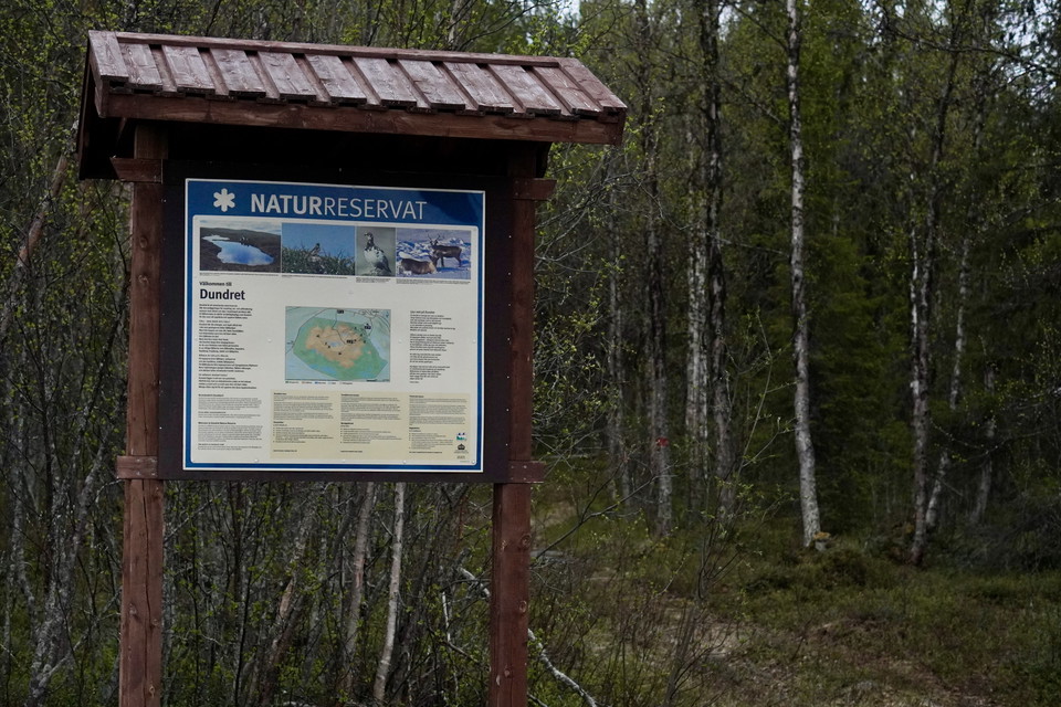
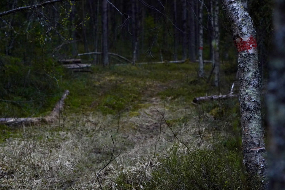
This 4 km trail takes you from Porjusvägen up to Hebrotoppen via the historic Kelvavallen area. The trail starts in the forest landscape and winds through varied terrain, past the old homestead where hay was cut in the 1960s and a cold spring bubbles freshly - a perfect place for a break before the climb up to the mountain begins.
As you pass the tree line, the views open up towards the low mountain Dundret. Once up, vast views and many opportunities for further tours await. One recommendation is to have a coffee in the octagonal windbreak on Hebrotoppen. The trail offers a reasonable challenge and is a suitable excursion destination for those who want to experience the mountain and at the same time visit the historic Kelva Falls.
Activities And Facilities
- Mountainbiking
- Running
- Hiking
- Trail running
Accessibility
- Near parking
Contact
Email address
Organization logotype

Please be aware that some of these texts have been automatically translated.
I’ve been here
I want to go here
Questions & Answers
Ask a question to other Naturkartan users.
Reviews
0 reviews
- 5 :
- 4 :
- 3 :
- 2 :
- 1 :
Users images
No user images yet. Be the first to share!
