
-

Havtorn.
Photo: Josefine Strand -
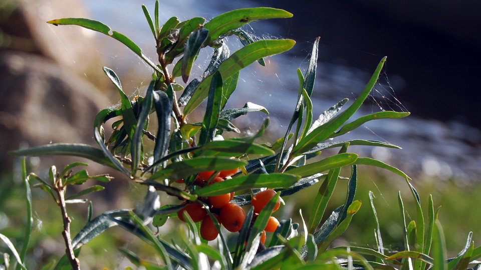
Havtorn.
Photo: Josefine Strand
Granholmen
- Nature reserve
- County: Norrbottens län
Actions
Description
Activities And Facilities
- Nature reserve
Facts
Municipality: Kalix
Year of formation: 1997
Size: 1.1 square kilometers
Administrator: County Administrative Board
Form of protection: Nature reserve, Natura 2000
Communications
Granholmen island lies near the southeast shore of Rånön island, about 8 kilometres southwest of Storön island.
Directions
Granholmen is located near the southeastern shore of Rånön, about 8 kilometers southwest of Storön.
Regulations
All regulations can be found in the reserve decision. It is allowed to:
- camping
- hiking
- make a fire, but not directly on rocks. Remember to bring your own firewood!
- pick berries and edible mushrooms
- fish and hunt in accordance with the laws in force
It is not allowed to drive snowmobiles on the island or to damage plant and animal life. Remember the right of public access and protect nature!
Contact
Email address
Länsstyrelsen Norrbotten
Organization logotype
Please be aware that some of these texts have been automatically translated.
I’ve been here
I want to go here 1

Questions & Answers
Ask a question to other Naturkartan users.
Reviews
0 reviews
- 5 :
- 4 :
- 3 :
- 2 :
- 1 :
Users images
No user images yet. Be the first to share!
