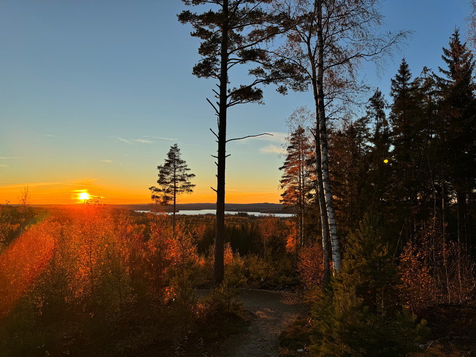
Best hiking trails in Nora

Nora

Naturkartan samlar de vandringslederna i Nora som är populärast bland våra användare.

Images

Map

26 Best hiking trails in Nora

Hiking

Digerberget loop trail, 9 km

  • Municipality: Nora
  • 6677.86 km away from you
  • 10.0 km
  • Difficulty: Blue

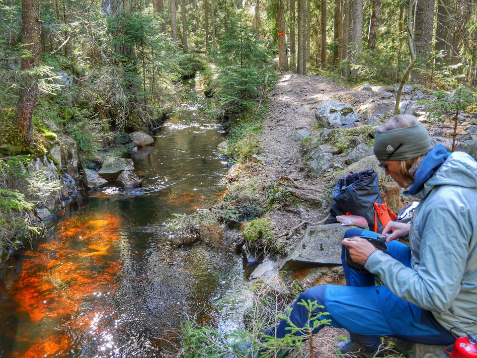
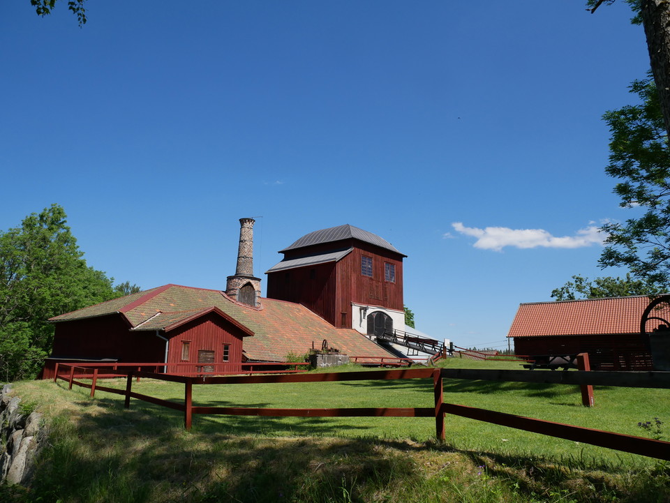
The trail takes you through beautiful countryside to a lakeside resting place beside Lilla Ramsjön, before continuing through the old Pershyttan mining and ironworking area. Marked with blue symbols, the trail links up with Stages 6 and 7.
Hiking

Stage 7 PERSHYTTAN – MOGETORP

  • Municipality: Nora
  • 6677.85 km away from you
  • 15.0 km
  • Difficulty: Blue

The trail passes through the old smelting house area of Pershyttan. Both Lake Dammsjön and Lake Rammsjön offer excellent bathing. The latter requires a detour after passing the mining village of Ramshyttan. You will also find historic remnants from the iron…

Hiking

Stage 6 HAMMARBY – PERSHYTTAN

  • Municipality: Nora
  • 6677.95 km away from you
  • 15.0 km
  • 4 h
  • Difficulty: Blue

On Stage 6 you can experience at first hand the oldest railway in Sweden, as well as remains from the Ice Age, and the impressive Långforsen rapids, which over the centuries have been of major significance to iron processing in the area. As the trail brings…

Hiking

Rundslinga Kottaberget

  • Municipality: Nora
  • 6676.52 km away from you
  • 4.6 km
  • 1 h 10 min
  • Difficulty: Red

The trail, which can be a good alternative to the twice as long Digerberget round, starts in Pershyttan and takes you up Kottaberget. Here you can see the start of the Kottaberget flowtrail cycling facility. Take a breather and have a coffee at the top befo…

Hiking

Stig Stensjön

  • Municipality: Nora
  • 6664.07 km away from you
  • 5.5 km

Orange marking

Hiking

Yoldiarundan

  • Municipality: Nora
  • 6685.85 km away from you
  • 2.4 km

Orange guide mark, green tray 2 dots

Hiking

Bergsrundan

  • Municipality: Nora
  • 6685.63 km away from you
  • 2.2 km

Orange joint marking, tray purple 3 dots

Hiking

Lilla rundan

  • Municipality: Nora
  • 6686.22 km away from you
  • 0.6 km

Orange joint marking, tray blue 1 dot

Hiking

Carlannersarundan

  • Municipality: Nora
  • 6685.39 km away from you
  • 1.2 km

Orange guide mark, red tray 4 dots

Best hiking trails in Nora

Naturkartan samlar de vandringslederna i Nora som är populärast bland våra användare.

Naturkartan

Open this in the app