Stigar, Lunsen
- Municipality: Knivsta
- 6791.54 km away from you
- 26.1 km
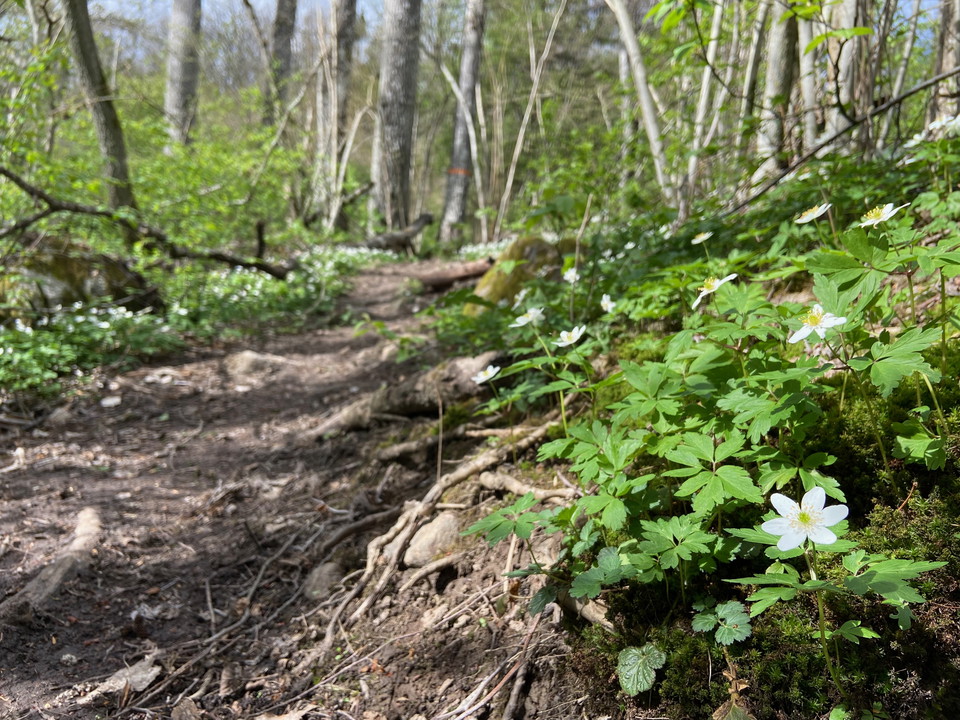
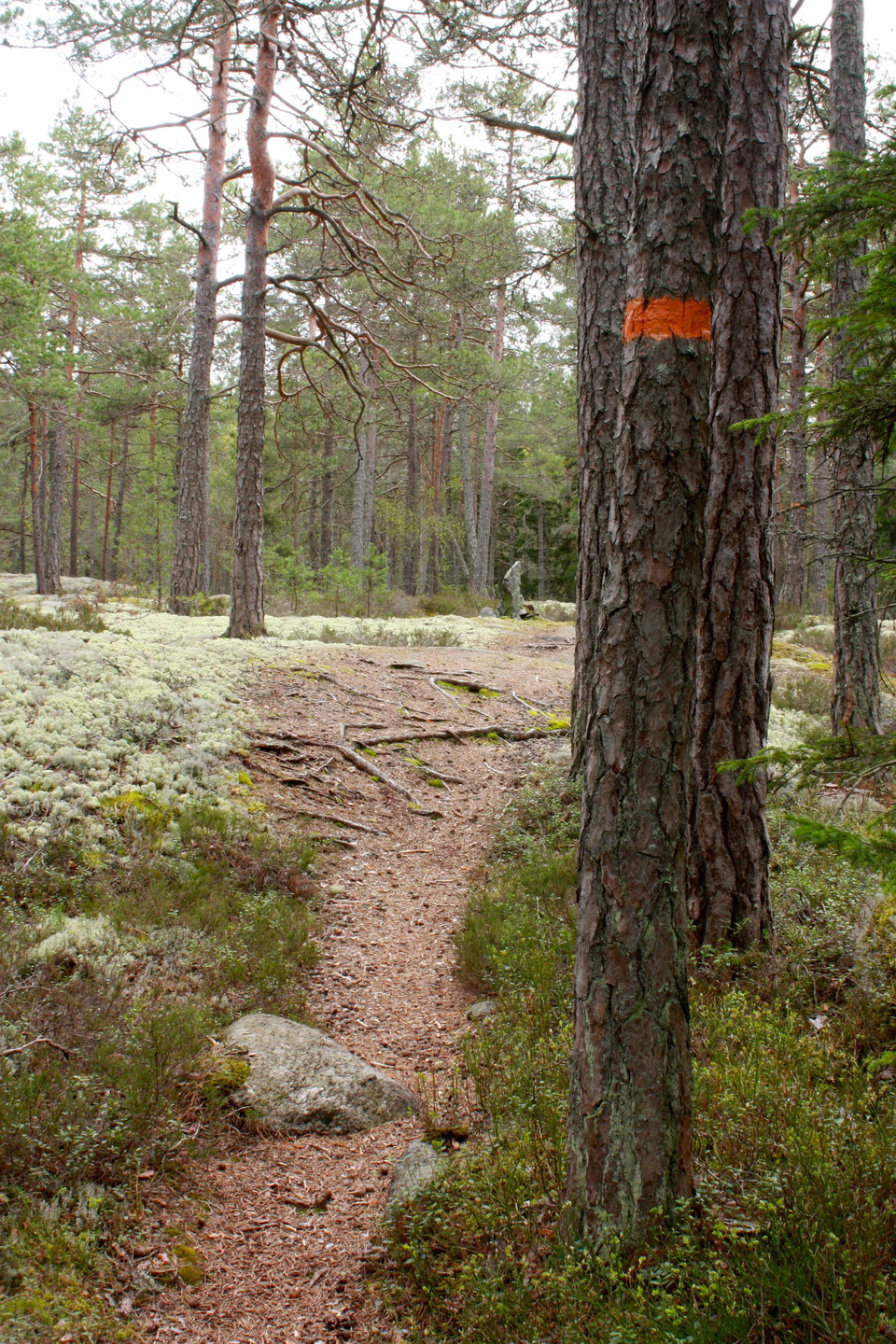
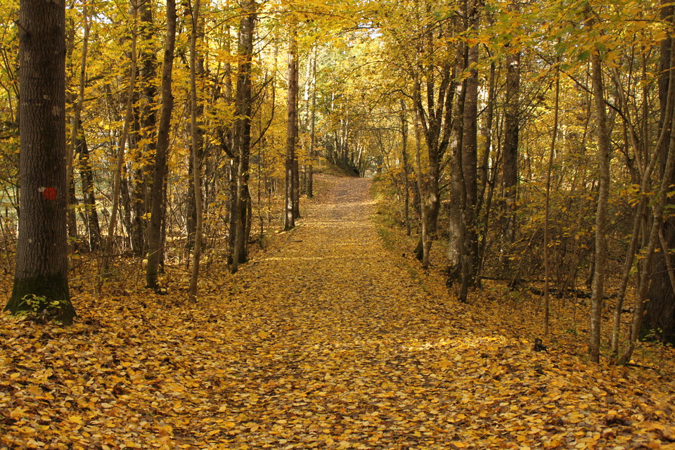
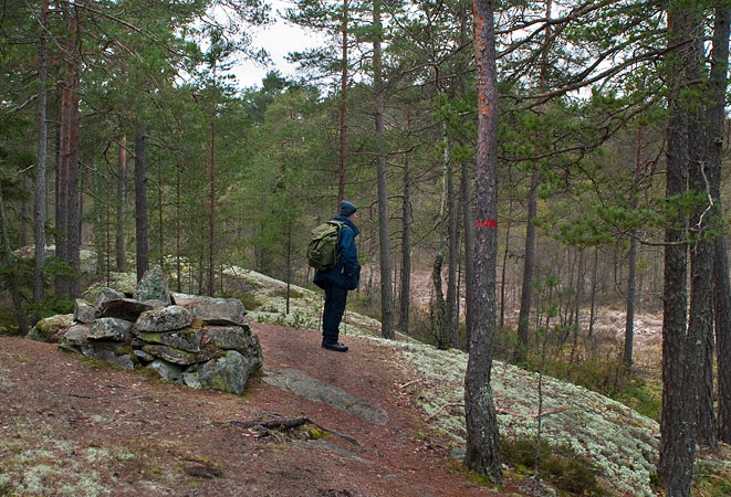
The paths in Norra Lunsen are quite rocky and uneven in places. You walk here on forest trails over rocks and paths.

Knivsta
Naturkartan samlar de vandringslederna i Knivsta som är populärast bland våra användare.
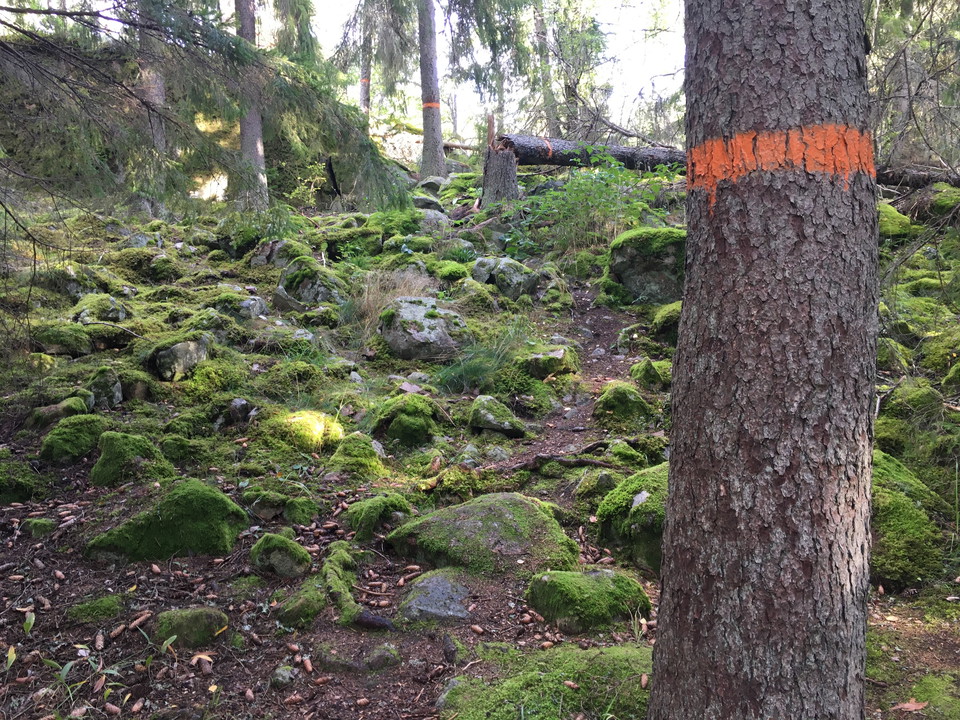
The paths in Norra Lunsen are quite rocky and uneven in places. You walk here on forest trails over rocks and paths.
Section 1:2, a continuation of section 1:1, starts at Knivsta station. It takes you out to a rest spot by the small River Forsbyån, bordering Stockholm county. The beginning of the hike is along a straight gravel road with the train tracks on the east side,…
The Uppland Trail section 1:1, which shoots off from section 1, starts at Lunsentorpet inside nature reserve Norra Lunsen. The Lunsentorpet cottage, where you can rest and stay overnight, is always open to visitors, but you can’t book it. The section ends a…
The Eda Walk begins and ends at the Eda lägergård by Lake Norrsjön. In addition to the rest spot with a fireplace, there is also a great beach, tent areas, canoe rental, and toilets. From the parking area, you’ll walk the gravel road through the village of…
Det finns många stigar att vandra genom Gredelby hagar. En 1,3 km lång stig är markerad med blå färg och går i en slinga förbi fågeltornet och rastplatsen. Avstickare finns till utsiktsplatsen och entrén vid stigen som leder vidare mot Knivsta centrum och s…
The paths in Kungshamn-Morga have varying surfaces. On many stretches, the paths are wide and flat, while others are rocky and bumpy. In the southern part of the reserve, the path runs through pastures with cows. Near the bathing areas you can follow the wa…
Tallspåret is an 800 m long circular trail that starts from the nature point near Ängbyskolan. Along the trail there are signs that inspire discoveries in nature.
Granstigen is an approximately 1 km long trail in Ängbyskogen that starts from Ängbyskogen's nature point. It has partly the same route as the pine trail.
On the yellow trails in Ängbyskogen you can both hike and ride.
Cycling and horseback riding are not permitted on the blue-marked paths in Ängbyskogen.
Naturkartan samlar de vandringslederna i Knivsta som är populärast bland våra användare.