Best hiking trails in Höganäs

Höganäs

Naturkartan samlar de vandringslederna i Höganäs som är populärast bland våra användare.

Images

Map

46 Best hiking trails in Höganäs

Hiking

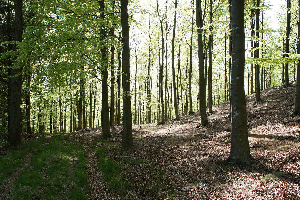
Kullaleden, Skåneleden SL 5

  • Municipality: Höganäs
  • 6716.36 km away from you
  • 14.4 km

Section of the Kullaleden trail between Strandbaden - Josefinelust. Hilly terrain. Steep sections on nature trail. Kullaleden is part of Skåneledens sub-trail SL 5 around the Kulla Peninsula from Helsingborg to Utvälinge. The trail is 70 km long and offers…

Hiking

Kullaleden, Skåneleden SL 5

  • Municipality: Höganäs
  • 6718.15 km away from you
  • 12.4 km

Stretch of the Kulla Trail between Josefinelust - Skäret. Varying terrain. More than 50 percent on nature trail. Kullaleden is part of Skåneledens sub-trail SL 5 around the Kulla Peninsula from Helsingborg to Utvälinge. The trail is 70 km long and offers ma…

Hiking

Blå led Västra Kullaberg

  • Municipality: Höganäs
  • 6716.43 km away from you
  • 2.9 km

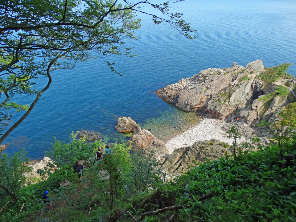
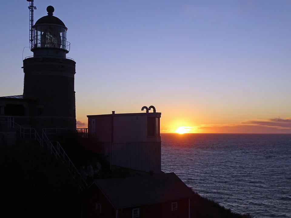
Cliffs, caves and the wild coast of the north side - part of Kullaleden / Skåneleden SL5_ The Blue Trail is Kullaberg's wildest hike - the stretch along the northern cliff edge where rock walls plunge almost 80 meters straight down into the Kattegat. From K…

Hiking

Hälsans stig - Höganäs

  • Municipality: Höganäs
  • 6727.01 km away from you
  • 8.1 km

En lång sträcka går längs Öresund med fina badmöjligheter på vägen

Hiking

Blå led Östra Kullaberg

  • Municipality: Höganäs
  • 6718.85 km away from you
  • 5.8 km

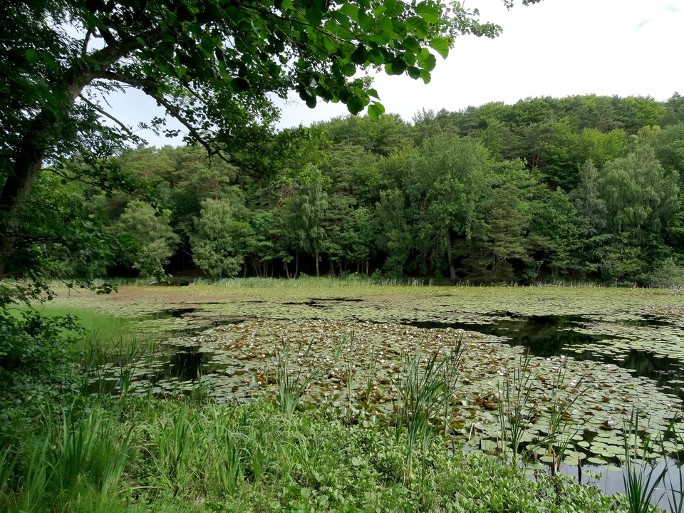
Peaks, lily pads and ravines down towards Skälderviken - part of Kullaleden / Skåneleden SL5 Östra Kullaberg's blue trail takes you through hilly deciduous forest, past bogs and over the mountain's highest peaks - from Djupadal east to Himmelstorpsgården. H…

Hiking

Röd led Östra Kullaberg

  • Municipality: Höganäs
  • 6719.35 km away from you
  • 5.5 km

Mosses, cultural-historical landscape and fishing location Arild - part of Kullaleden / Skåneleden SL5 _ _ If Västra Kullaberg is the dramatic scene with steep cliffs and the lighthouse silhouetted against the horizon, Östra Kullaberg is the quieter and mor…

Hiking

Vikenrundan

  • Municipality: Höganäs
  • 6730.03 km away from you
  • 6.4 km

Vikenrundan is a 6 km walk where you experience the area's sea and nature while passing through both old and new Viken. Perfect round trip with a well-deserved dinner at one of the restaurants in Viken harbor. The tour is marked with red trail markings.

Hiking

Arildslingan

  • Municipality: Höganäs
  • 6723.77 km away from you
  • 4.8 km

Experience Arild's beautiful surroundings with Arildslingan. The loop is 4.8 km long and runs through Arild's beautiful surroundings.

Best hiking trails in Höganäs

Naturkartan samlar de vandringslederna i Höganäs som är populärast bland våra användare.

Naturkartan

Open this in the app