
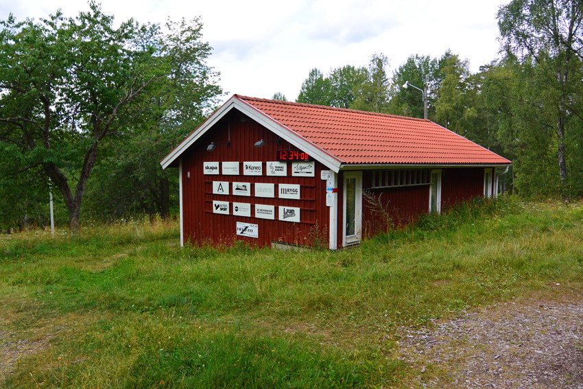
Örsbäcken - Gröna spåret 10 km
- Running
- Hiking
- Near parking
- County: Jönköpings län
- 6757.35 km away from you
Trail details
- Length 9.8 km
Actions
Description
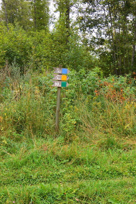
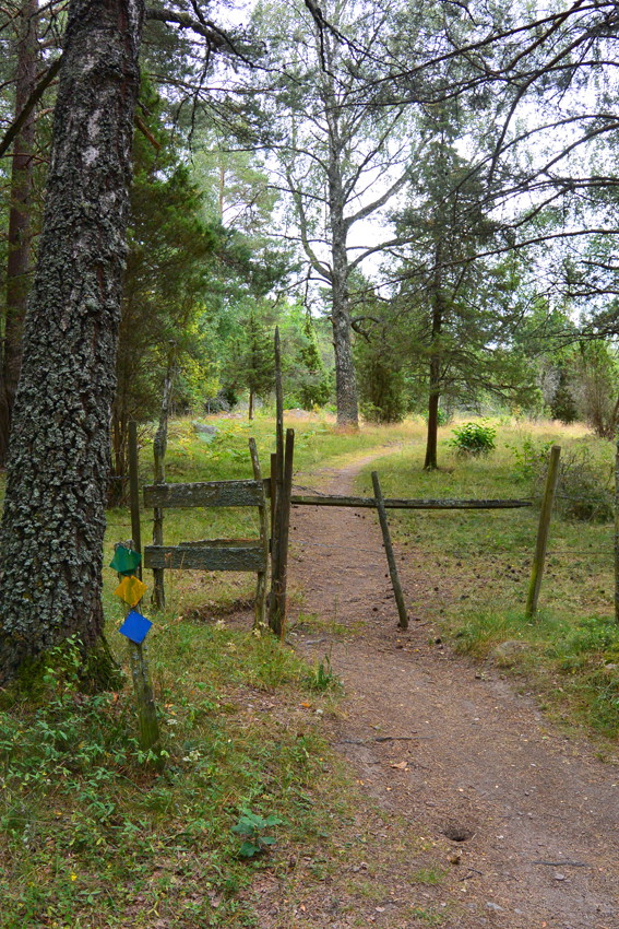
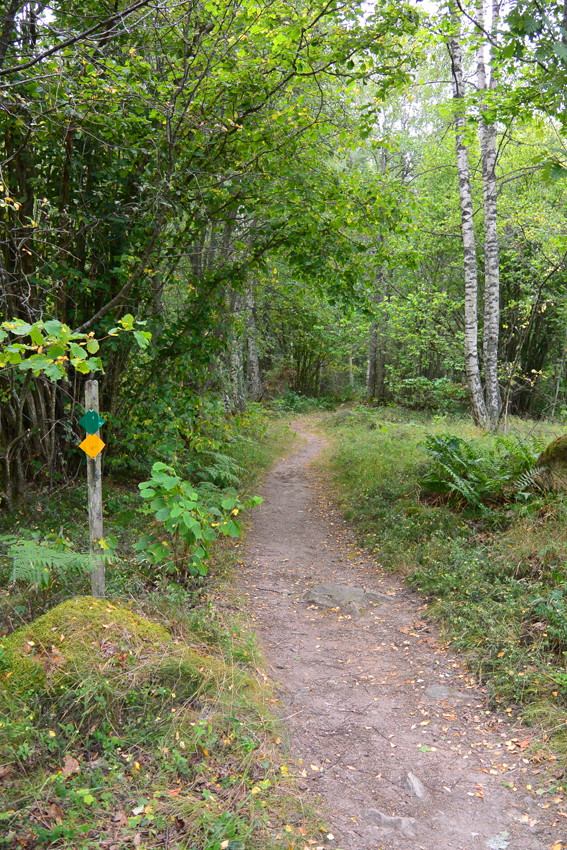
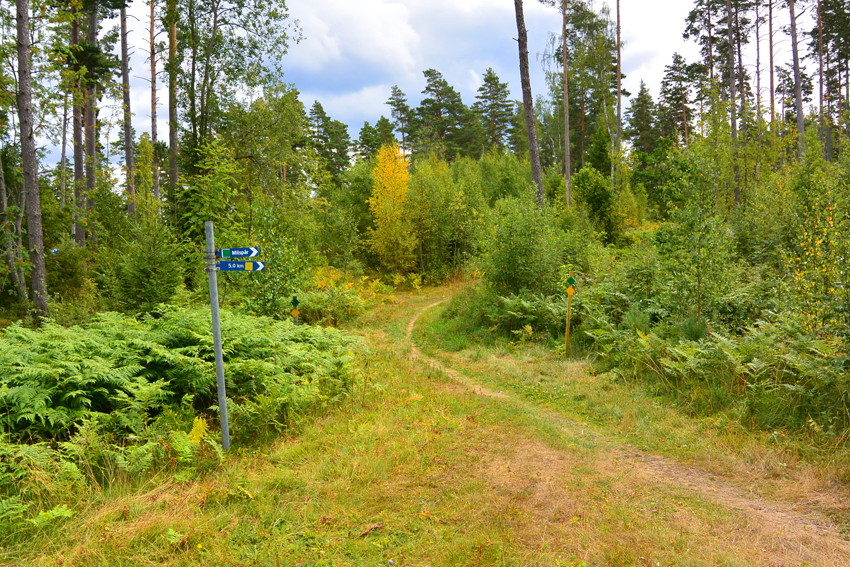
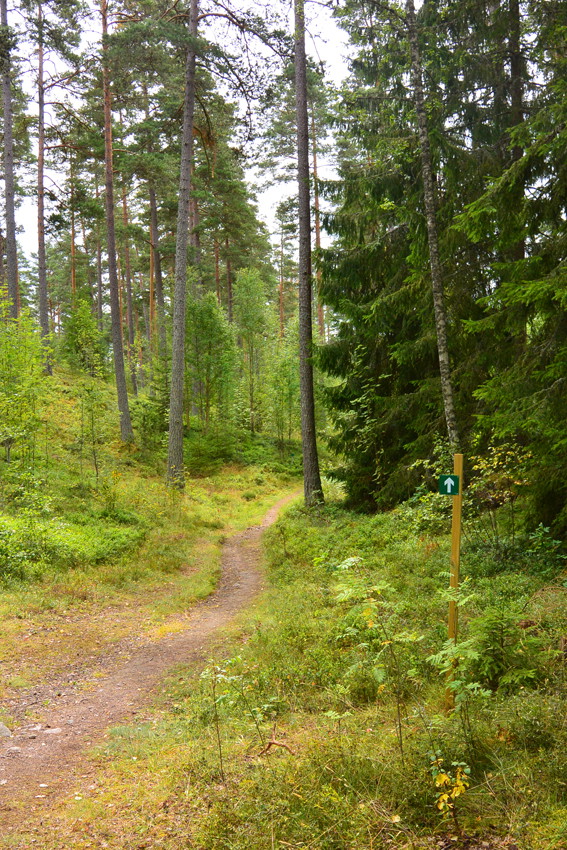
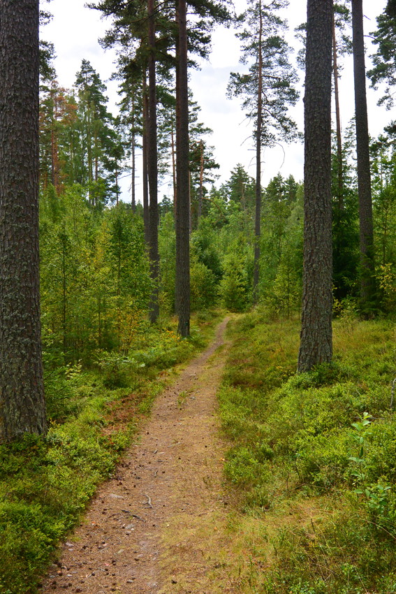
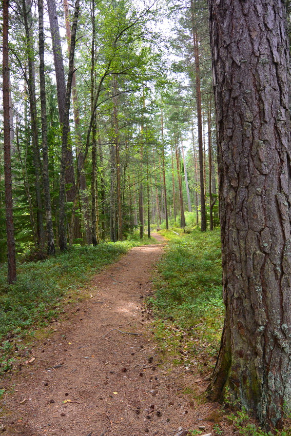
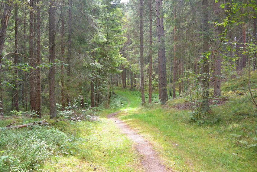
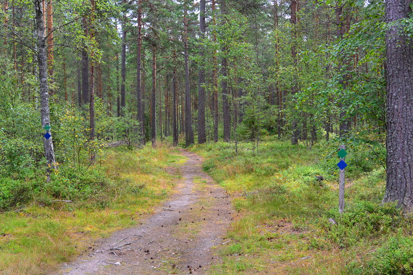
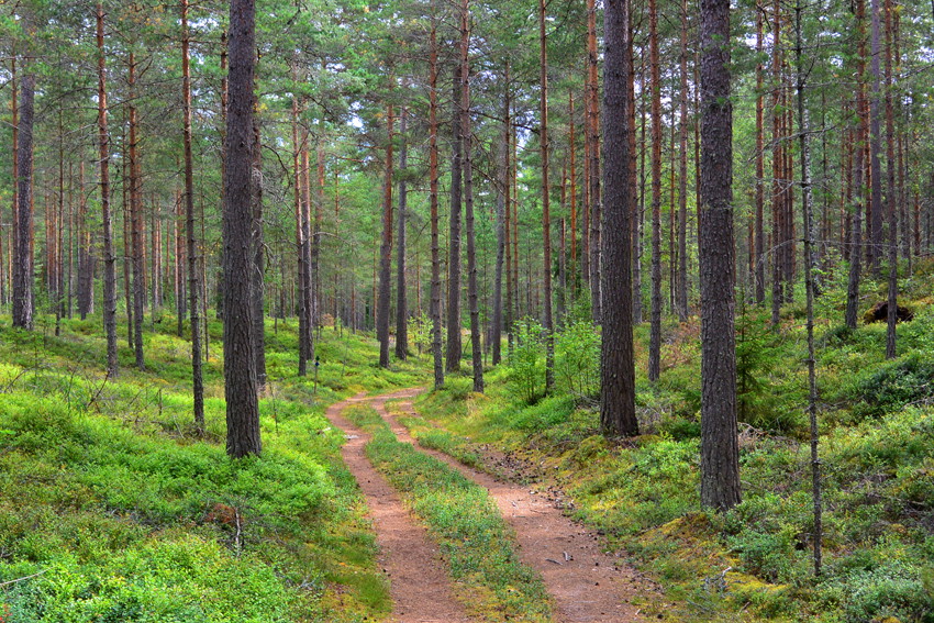
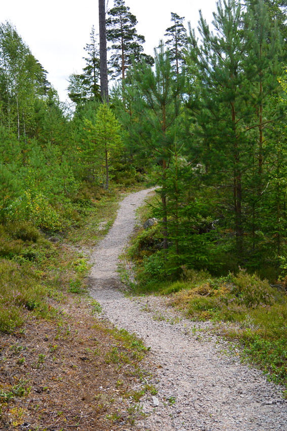
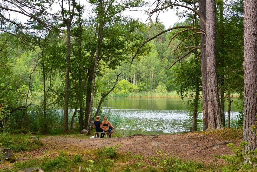
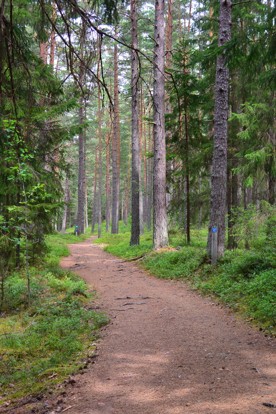
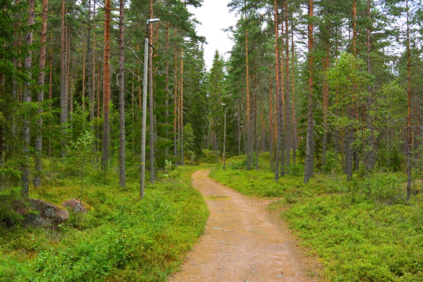
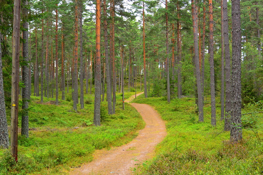
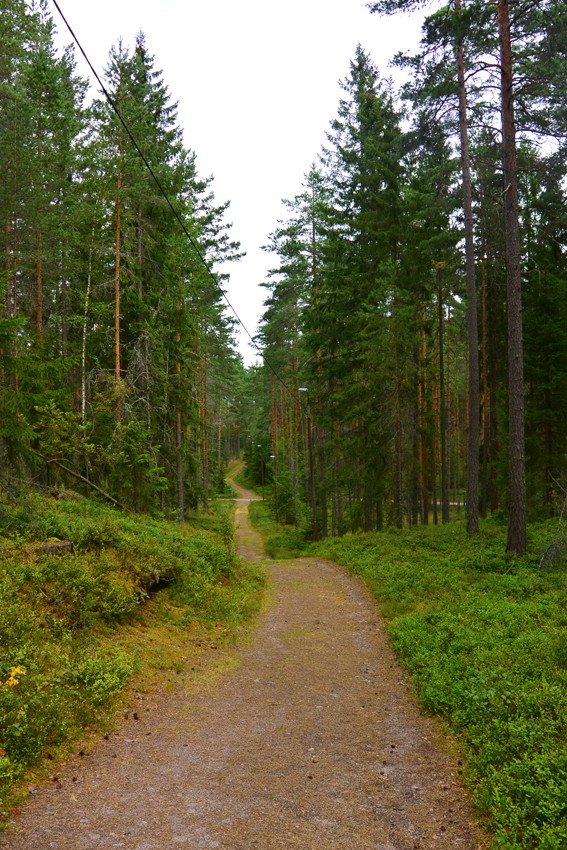
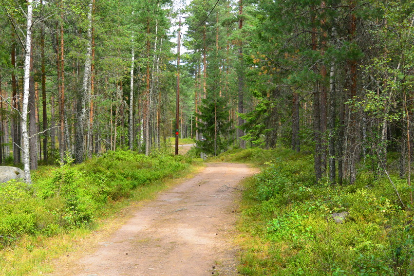
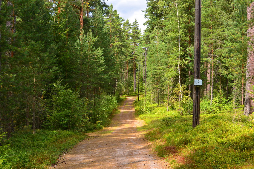
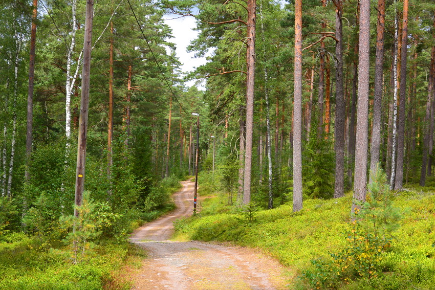
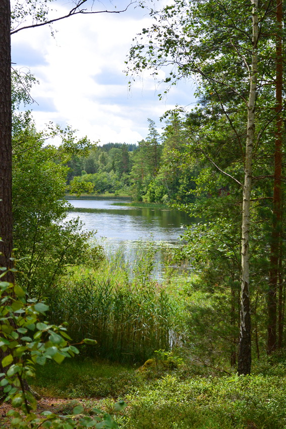
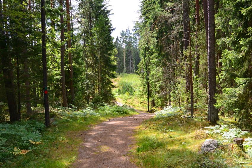
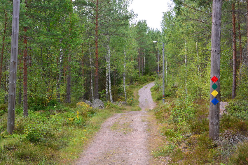
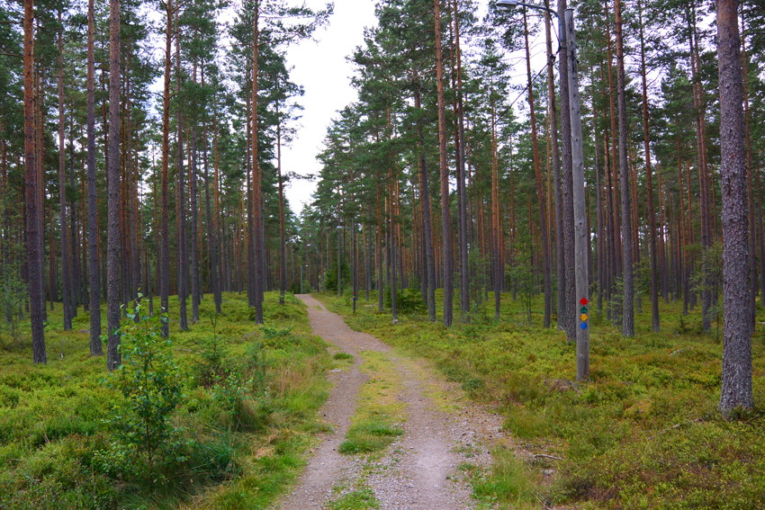
Örsbäckens longest trail of 10 km starts with running through a more open cultural landscape before you come up on some ridges with beautiful sparse pine forest, then you come down to the eastern side of Lake Illern, which you then follow to the lighted trail on the north side of the lake. The last 4 km are more hilly and demanding. Good surface and easy to follow the green markings. You pass many nice blueberry spots.
Activities And Facilities
- Running
- Hiking
Accessibility
- Near parking
Directions
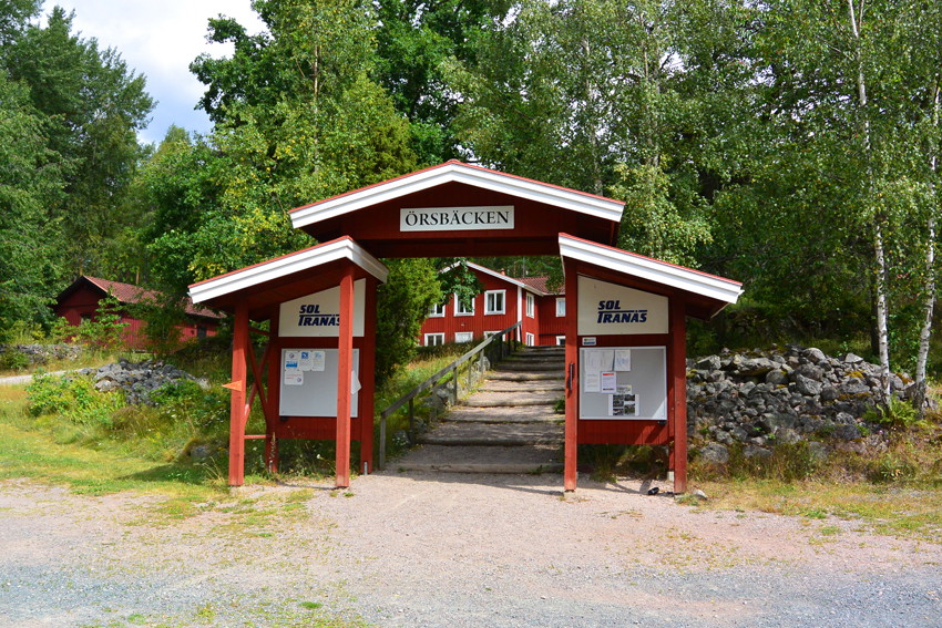
From Storgatan in Tranås: go past the town hall, then keep right and follow Svartån until you see signs for Rås Gård, follow the road until you see the sign for Örsbäcken/SOL Tranås where there are plenty of parking spaces. Can also be reached from Rås, Mossebo and Bredstorp.
Contact
Email address
Tranås Direkt
Please be aware that some of these texts have been automatically translated.
I’ve been here 6



I want to go here 9

Questions & Answers
Ask a question to other Naturkartan users.
Reviews
0 reviews
- 5 :
- 4 :
- 3 :
- 2 :
- 1 :
Users images
No user images yet. Be the first to share!
