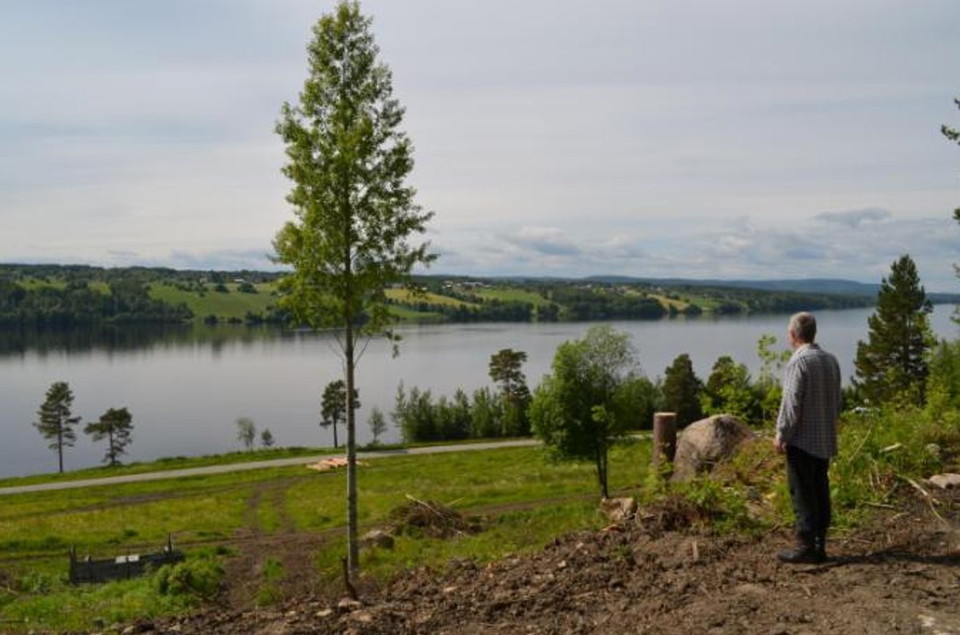
• Man tittar ut över Balviken
    Photo: Bertil Glansberg

Hoverbergsleden

  • Hiking
  • Culture trail
  • Circular trail
of 5 stars

Trail details

  • Length 9.0 km

Actions

  • Directions

Description

Hoverbergsleden follows the "mountain foot" around Hoverberget. The trail partly follows the shoreline of the Centraljämtska ice lake and passes Hoverbergsgrottan, Hembygdsgården, an execution site, soldier's village and a number of other cultural-historical sites. On the eastern side you can see the alum shale layers on which Hoverberget rests. The shape of Hoverberget creates a number of different plant areas with different conditions for vegetation. The most species-rich area is the western part adjacent to the cave, which is a so-called south growth mountain.After the Hoverberg trail there are a number of trails that lead up to the hiking trails at the top of the Hoverberget nature reserve. The trail is 9 km long and is marked in orange.

Weather forecast (at 12:00)

Loading…

Get here by public transport

Activities And Facilities

  • Hiking
  • Culture trail
  • Circular trail

Please be aware that some of these texts have been automatically translated.

I’ve been here 1

I want to go here 6

Reviews

—

0 reviews

of 5 stars

5 :
0.0%
4 :
0.0%
3 :
0.0%
2 :
0.0%
1 :
0.0%

Questions & Answers

Ask a question to other Naturkartan users.

Users images

Share your photos of the place!

Naturkartan

Open this in the app