
122 Älgbergsrundan (vinterled, Edsåsdalen)
- Skiing
- Near parking
- Near Public Transport
- Near toilet
- Circular trail
- County: Jämtlands län
- 6387.64 km away from you
Trail details
- Length 18.4 km
Actions
Description
Activities And Facilities
- Skiing
- Circular trail
Accessibility
- Near parking
- Near Public Transport
- Near toilet
Facts
Type of track
Touring trail, cross-country classic/skate trail.
**Preparation
Prepared first with snowmobile and sled/track sledge and as soon as snow availability allows with snow groomer. At the beginning of the season, touring skis are the best choice.
Start/finish
You can choose to start and end the tour at the track center behind Köjagården or at Dalen's track center.
Difficulty level
Moderate difficulty.
The difficulty rating goes from Very Easy - Easy - Moderate - Difficult. An Easy trail is a short hike in sheltered terrain without any steeper ascents or descents and tight curves. The longer the ride and the steeper the slopes, the higher the difficulty level.
Signage/trail markings
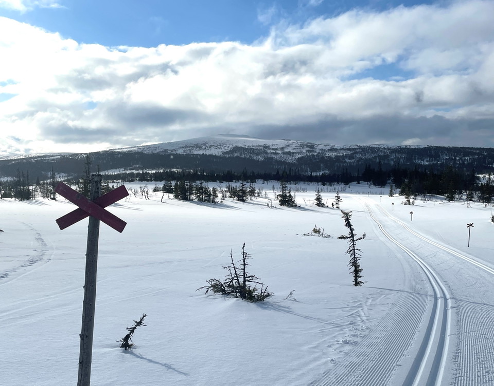
Follow red trail markings, trail number 122.
Trail fee
Trail passes can be purchased and paid for digitally via Swish using the QR codes found at Edsåsdalen's two trail and trail centers You can also find the QR codes on Edsåsdalen's website "
You can also pay for trail passes at the ticket office at Hotell Köjagården or at the lift pass office at Ravinliften. At the ticket offices you can pay by card or Swish.
By buying a trail pass, you help to ensure a continued high quality of trails and trails in Edsåsdalen.
**Tip.
If you also want to ski downhill, you can buy a Fjällpass Edsåsdalen Renfjället, a combined season pass that gives you access to skiing on both ski slopes and ski trails. Read more on the Edsåsdalen website "
Waste management
After the trail there are no garbage cans or possibility to throw garbage.
Do you find trash in nature? Feel free to help by taking more garbage home than you brought out with you
Trail manager
Edsåsdalens Aktivitetsbolag.
Hills
Älgbergsrundan starts either at the Dalen trailhead or the Köja trailhead. If you start at Köja, take the cross-country track away until you reach Dalen and then continue the ascent of the double-track Offsjöleden track up through the forest.
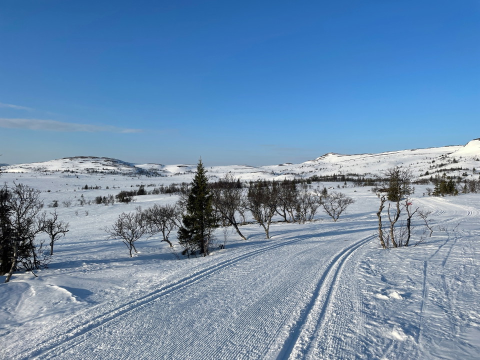
After about three kilometers you enter the actual Älgbergsrundan and small moose signs appear on the trail crosses. Eventually the spruce forest thins out, and mountain birches take over.
After four kilometers of skiing, you are up on the bare mountain and Lillvalssluttningen. If you want to enjoy a lovely break, with magical views of Ottfjället and the Anaris massif, you go another 150 meters - up to Lillvalskåtan.
After the break, you go back down on Älgbergsrundan which continues in easy and flat terrain. Just stretch out and enjoy the trail that goes past Lillvalen, Älgberget, Skalknippen and Gräpplingsvalen. When you eventually get to Lyckans läger, the tour turns off to the northeast and turns past the windbreak at Vackermon to then connect back to Offsjöleden and the descent to Dalen. Once there, you follow the lighted trail back to Köja.
Parking
There is a parking lot just before Hotell Köjagården.
Vägbeskrivning Google Maps »
There is also a parking lot at Dalens spårcentral.
Vägbeskrivning Google Maps »
Directions
To the joint start
Alternative start at the Köjagården rail center. Vägbeskrivning Google Maps »
Alternative start at Dalens spårcentral Directions Google Maps "
To Edsåsdalen by car
To get to Edsåsdalen via E14, turn off towards Undersåker and follow the signs to Edsåsdalen. Just after crossing the railroad, turn right (signposted). Follow the road and you will arrive at Edsåsdalen.
If you are coming from the south via Vålådalsvägen, turn left before the bridge, just before Undersåker.
Coordinates parking Köjagården. Vägbeskrivning Google Maps »
Coordinates trailhead at parking Dalen. Vägbeskrivning Google Maps »
To Edsåsdalen by train + bus
You can get to Edsåsdalen by train and bus. Take the train to Undersåker station. SJ, Snälltåget and Norrtåg operate the route.
From Undersåker station you can take the Fjällupplevelsebussen or Länstrafiken Bus line 561 or 562.
To Edsåsdalen by bus (Länstrafiken Jämtland)
You can get to Edsåsdalen with Länstrafiken buses that operate within the municipal boundary. Find your nearest bus stop and plan your journey using the Länstrafiken App or on the Länstrafiken website "
Please be aware that some of these texts have been automatically translated.
I’ve been here
I want to go here
Reviews
—
0 reviews
- 5 :
- 4 :
- 3 :
- 2 :
- 1 :
Questions & Answers
Ask a question to other Naturkartan users.
Users images
Share your photos of the place!
